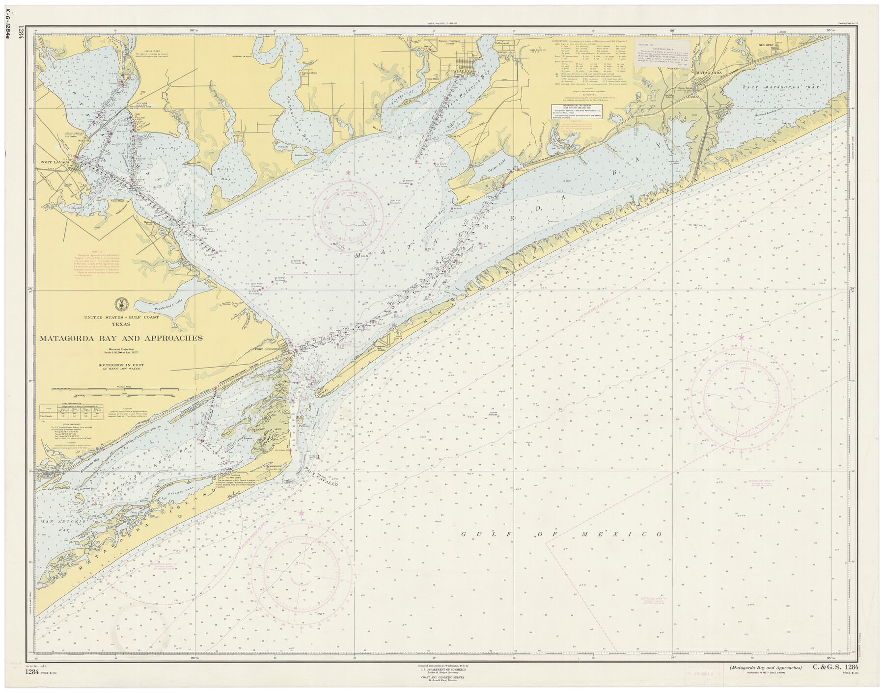
Matagorda Bay and Approaches
K-6-1284a
-
Map/Doc
73382
-
Collection
General Map Collection
-
Object Dates
5/15/1961 (Creation Date)
-
Counties
Matagorda Calhoun Victoria Jackson
-
Subjects
Nautical Charts
-
Height x Width
35.0 x 45.0 inches
88.9 x 114.3 cm
Part of: General Map Collection
Frio County Rolled Sketch 21

Print $20.00
- Digital $50.00
Frio County Rolled Sketch 21
1961
Size 43.8 x 27.7 inches
Map/Doc 8911
Ochiltree County Sketch File 7

Print $20.00
- Digital $50.00
Ochiltree County Sketch File 7
Size 14.5 x 26.1 inches
Map/Doc 42204
Presidio County Rolled Sketch 78

Print $20.00
- Digital $50.00
Presidio County Rolled Sketch 78
1941
Size 32.4 x 39.2 inches
Map/Doc 7364
Hudspeth County Working Sketch 13

Print $40.00
- Digital $50.00
Hudspeth County Working Sketch 13
1952
Size 34.3 x 51.4 inches
Map/Doc 66295
Van Zandt County Working Sketch 15

Print $20.00
- Digital $50.00
Van Zandt County Working Sketch 15
1982
Size 30.9 x 39.0 inches
Map/Doc 72265

Anderson County Rolled Sketch 7

Print $20.00
- Digital $50.00
Anderson County Rolled Sketch 7
1941
Size 42.2 x 44.9 inches
Map/Doc 8364
Montague County Sketch File 20

Print $42.00
- Digital $50.00
Montague County Sketch File 20
1923
Size 34.6 x 19.8 inches
Map/Doc 12106
Uvalde County Rolled Sketch 23

Print $20.00
- Digital $50.00
Uvalde County Rolled Sketch 23
2008
Size 24.6 x 32.6 inches
Map/Doc 89024
Flight Mission No. DAG-14K, Frame 145, Matagorda County

Print $20.00
- Digital $50.00
Flight Mission No. DAG-14K, Frame 145, Matagorda County
1952
Size 18.6 x 22.6 inches
Map/Doc 86312
Flight Mission No. BRA-7M, Frame 139, Jefferson County

Print $20.00
- Digital $50.00
Flight Mission No. BRA-7M, Frame 139, Jefferson County
1953
Size 18.7 x 22.4 inches
Map/Doc 85533
Hansford County Boundary File 4

Print $26.00
- Digital $50.00
Hansford County Boundary File 4
Size 14.1 x 8.7 inches
Map/Doc 54279
You may also like
Fort Bend County Boundary File 1a

Print $8.00
- Digital $50.00
Fort Bend County Boundary File 1a
Size 12.9 x 8.1 inches
Map/Doc 53555
Travis County Sketch File 27

Print $8.00
- Digital $50.00
Travis County Sketch File 27
1872
Size 12.9 x 8.3 inches
Map/Doc 38338
Deaf Smith County, Texas

Print $20.00
- Digital $50.00
Deaf Smith County, Texas
1880
Size 22.9 x 25.6 inches
Map/Doc 678
Crosby County Rolled Sketch 1

Print $20.00
- Digital $50.00
Crosby County Rolled Sketch 1
1950
Size 25.3 x 21.1 inches
Map/Doc 5640
Upshur County Working Sketch 8

Print $20.00
- Digital $50.00
Upshur County Working Sketch 8
1960
Size 29.5 x 26.7 inches
Map/Doc 69564
Presidio County Working Sketch 107

Print $40.00
- Digital $50.00
Presidio County Working Sketch 107
1980
Size 36.0 x 57.3 inches
Map/Doc 71784
Presidio County Working Sketch 25

Print $20.00
- Digital $50.00
Presidio County Working Sketch 25
1945
Size 22.8 x 18.9 inches
Map/Doc 71701
Hays County Sketch File 19

Print $6.00
- Digital $50.00
Hays County Sketch File 19
Size 8.5 x 6.7 inches
Map/Doc 26237
Map of a tour from Independence to Santa Fé, Chihuahua, Monterey and Matamoros by A. Wislizenus, in 1846 and 1847
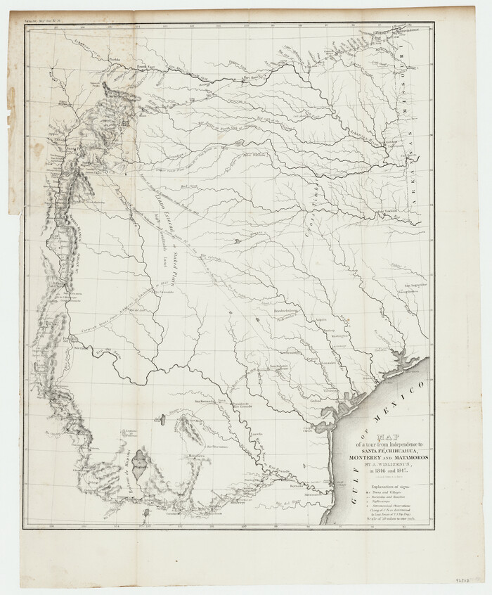
Print $20.00
- Digital $50.00
Map of a tour from Independence to Santa Fé, Chihuahua, Monterey and Matamoros by A. Wislizenus, in 1846 and 1847
1848
Size 23.2 x 19.2 inches
Map/Doc 97527

General Highway Map, Kenedy County, Texas

Print $20.00
General Highway Map, Kenedy County, Texas
1940
Size 18.5 x 24.9 inches
Map/Doc 79154
Hutchinson County Sketch File 17

Print $4.00
- Digital $50.00
Hutchinson County Sketch File 17
Size 6.9 x 8.8 inches
Map/Doc 27218