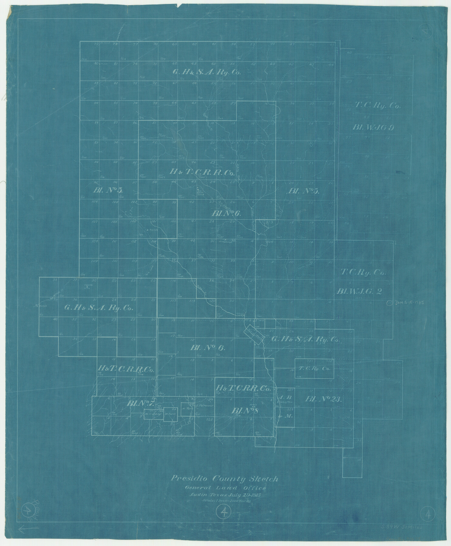
Presidio County Working Sketch 4
-
Map/Doc
71678
-
Collection
General Map Collection
-
Object Dates
7/29/1915 (Creation Date)
-
Counties
Presidio
-
Subjects
Surveying Working Sketch
-
Height x Width
26.3 x 21.7 inches
66.8 x 55.1 cm
-
Scale
1" = 2000 varas
Part of: General Map Collection
Concho County Working Sketch 3

Print $20.00
- Digital $50.00
Concho County Working Sketch 3
1918
Size 24.0 x 22.2 inches
Map/Doc 68185
Franklin County Sketch File 16

Print $6.00
- Digital $50.00
Franklin County Sketch File 16
Size 13.2 x 8.2 inches
Map/Doc 23023
Houston County Sketch File 13

Print $6.00
- Digital $50.00
Houston County Sketch File 13
Size 9.0 x 7.8 inches
Map/Doc 26775
Flight Mission No. BRE-1P, Frame 140, Nueces County

Print $20.00
- Digital $50.00
Flight Mission No. BRE-1P, Frame 140, Nueces County
1956
Size 18.8 x 22.7 inches
Map/Doc 86700
Hockley County Sketch File 16

Print $20.00
- Digital $50.00
Hockley County Sketch File 16
Size 23.6 x 30.9 inches
Map/Doc 11774
Flight Mission No. DQN-7K, Frame 38, Calhoun County

Print $20.00
- Digital $50.00
Flight Mission No. DQN-7K, Frame 38, Calhoun County
1953
Size 18.5 x 22.2 inches
Map/Doc 84476
Potter County Boundary File 1

Print $12.00
- Digital $50.00
Potter County Boundary File 1
Size 14.1 x 8.7 inches
Map/Doc 57937
Brewster County Rolled Sketch 108

Print $20.00
- Digital $50.00
Brewster County Rolled Sketch 108
1958
Size 29.8 x 17.1 inches
Map/Doc 5260
[Sketch for Mineral Application 1112 - Colorado River, H. E. Chambers]
![65640, [Sketch for Mineral Application 1112 - Colorado River, H. E. Chambers], General Map Collection](https://historictexasmaps.com/wmedia_w700/maps/65640.tif.jpg)
Print $20.00
- Digital $50.00
[Sketch for Mineral Application 1112 - Colorado River, H. E. Chambers]
1918
Size 17.2 x 28.3 inches
Map/Doc 65640
Lampasas County Sketch File 16

Print $20.00
- Digital $50.00
Lampasas County Sketch File 16
1893
Size 22.8 x 20.8 inches
Map/Doc 11976
Sketch of Resurvey of J. R. Castlebury Est., SF 12725 in Gregg County

Print $20.00
- Digital $50.00
Sketch of Resurvey of J. R. Castlebury Est., SF 12725 in Gregg County
1931
Size 38.6 x 33.3 inches
Map/Doc 2039
Leon County Working Sketch Graphic Index

Print $20.00
- Digital $50.00
Leon County Working Sketch Graphic Index
1977
Size 46.8 x 41.5 inches
Map/Doc 76618
You may also like
Flight Mission No. CRC-3R, Frame 105, Chambers County

Print $20.00
- Digital $50.00
Flight Mission No. CRC-3R, Frame 105, Chambers County
1956
Size 18.8 x 22.4 inches
Map/Doc 84843
[Surveys in Power and Hewetson's Colony along the Aransas River, Middle Creek, Papalose Creek, and Blanco Creek]
![81, [Surveys in Power and Hewetson's Colony along the Aransas River, Middle Creek, Papalose Creek, and Blanco Creek], General Map Collection](https://historictexasmaps.com/wmedia_w700/maps/81.tif.jpg)
Print $20.00
- Digital $50.00
[Surveys in Power and Hewetson's Colony along the Aransas River, Middle Creek, Papalose Creek, and Blanco Creek]
1830
Size 21.6 x 21.2 inches
Map/Doc 81
Wilson County Working Sketch 6

Print $20.00
- Digital $50.00
Wilson County Working Sketch 6
1955
Size 39.4 x 32.3 inches
Map/Doc 72586
Concho County Sketch File 40

Print $26.00
- Digital $50.00
Concho County Sketch File 40
1949
Size 11.3 x 8.7 inches
Map/Doc 19194
Victoria County Working Sketch 3

Print $20.00
- Digital $50.00
Victoria County Working Sketch 3
1939
Size 14.0 x 18.3 inches
Map/Doc 72273
Official Map of City of Lubbock

Print $20.00
- Digital $50.00
Official Map of City of Lubbock
1927
Size 29.3 x 22.7 inches
Map/Doc 92717
[Surveys in DeLeon's Colony along the Garcitas River and Arenosa Creek, including the Victoria town tract]
![42, [Surveys in DeLeon's Colony along the Garcitas River and Arenosa Creek, including the Victoria town tract], General Map Collection](https://historictexasmaps.com/wmedia_w700/maps/42.tif.jpg)
Print $20.00
- Digital $50.00
[Surveys in DeLeon's Colony along the Garcitas River and Arenosa Creek, including the Victoria town tract]
1824
Size 22.1 x 17.6 inches
Map/Doc 42
Brewster County Rolled Sketch 46

Print $20.00
- Digital $50.00
Brewster County Rolled Sketch 46
Size 20.8 x 32.2 inches
Map/Doc 5222
Hutchinson County Rolled Sketch 40

Print $20.00
- Digital $50.00
Hutchinson County Rolled Sketch 40
1981
Size 25.7 x 37.5 inches
Map/Doc 6299
Replat of Baker 2nd Addition to Lamesa, Part of Southwest Quarter, Section 71, Block 35, Dawson County, Texas

Print $20.00
- Digital $50.00
Replat of Baker 2nd Addition to Lamesa, Part of Southwest Quarter, Section 71, Block 35, Dawson County, Texas
1958
Size 9.2 x 18.0 inches
Map/Doc 92630
Coast Chart No. 212 - From Latitude 26° 33' to the Rio Grande Texas

Print $20.00
- Digital $50.00
Coast Chart No. 212 - From Latitude 26° 33' to the Rio Grande Texas
1886
Size 18.3 x 24.1 inches
Map/Doc 72835
Newton County Sketch File 13

Print $22.00
- Digital $50.00
Newton County Sketch File 13
Size 8.1 x 12.7 inches
Map/Doc 32386