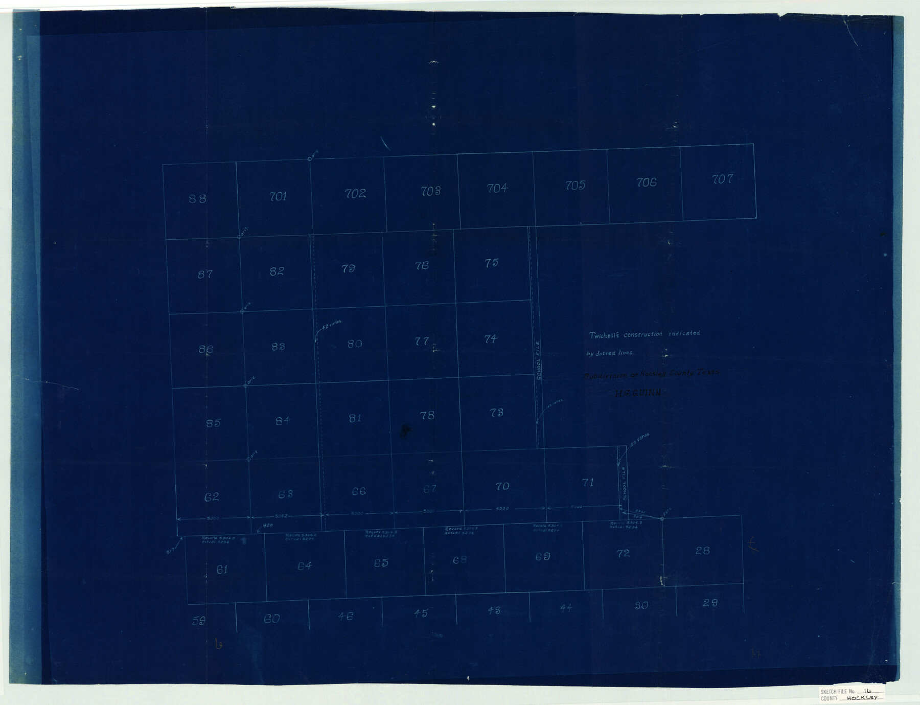
Hockley County Sketch File 16
Unorganized County School Leagues Nos. 71, 73, 74 & 75 Hockley County
-
Map/Doc
11774
-
Collection
General Map Collection
-
Object Dates
5/10/1912 (File Date)
-
People and Organizations
H.G. Guinn (Surveyor/Engineer)
W.D. Twichell (Surveyor/Engineer)
-
Counties
Hockley Cochran
-
Subjects
Surveying Sketch File
-
Height x Width
23.6 x 30.9 inches
59.9 x 78.5 cm
-
Medium
blueprint/diazo
Part of: General Map Collection
Falls County Sketch File 12

Print $8.00
- Digital $50.00
Falls County Sketch File 12
1870
Size 8.2 x 10.1 inches
Map/Doc 22364
Flight Mission No. DAG-18K, Frame 190, Matagorda County

Print $20.00
- Digital $50.00
Flight Mission No. DAG-18K, Frame 190, Matagorda County
1952
Size 18.6 x 22.3 inches
Map/Doc 86382
Flight Mission No. DQO-14T, Frame 65, Galveston County

Print $20.00
- Digital $50.00
Flight Mission No. DQO-14T, Frame 65, Galveston County
1958
Size 17.6 x 17.4 inches
Map/Doc 85216
Presidio County Rolled Sketch 6

Print $40.00
- Digital $50.00
Presidio County Rolled Sketch 6
1949
Size 56.8 x 32.2 inches
Map/Doc 9761

Brewster County Rolled Sketch 114

Print $20.00
- Digital $50.00
Brewster County Rolled Sketch 114
1964
Size 12.1 x 18.3 inches
Map/Doc 5285
Map of Hill County

Print $40.00
- Digital $50.00
Map of Hill County
1884
Size 48.4 x 37.7 inches
Map/Doc 4979
Crockett County Working Sketch 35

Print $20.00
- Digital $50.00
Crockett County Working Sketch 35
1927
Size 20.2 x 25.5 inches
Map/Doc 68368
Texas 1973 Official Highway Travel Map

Texas 1973 Official Highway Travel Map
Size 28.1 x 36.3 inches
Map/Doc 94406
DeWitt County

Print $40.00
- Digital $50.00
DeWitt County
1987
Size 42.1 x 50.6 inches
Map/Doc 95481
Wheeler County Working Sketch 16

Print $20.00
- Digital $50.00
Wheeler County Working Sketch 16
1982
Size 38.9 x 25.8 inches
Map/Doc 72505
Flight Mission No. CRC-3R, Frame 200, Chambers County

Print $20.00
- Digital $50.00
Flight Mission No. CRC-3R, Frame 200, Chambers County
1956
Size 18.6 x 22.2 inches
Map/Doc 84855
You may also like
La Salle County Rolled Sketch 33

Print $20.00
- Digital $50.00
La Salle County Rolled Sketch 33
2015
Size 17.6 x 27.6 inches
Map/Doc 95306
Frio County Working Sketch 4

Print $20.00
- Digital $50.00
Frio County Working Sketch 4
1924
Size 26.4 x 27.2 inches
Map/Doc 69278
Val Verde County Sketch File 54

Print $6.00
- Digital $50.00
Val Verde County Sketch File 54
1940
Size 11.3 x 8.9 inches
Map/Doc 39334
Plat of a survey of the North part of section 16, Block 362, Martha McBride, Presidio County, Texas

Print $6.00
- Digital $50.00
Plat of a survey of the North part of section 16, Block 362, Martha McBride, Presidio County, Texas
1989
Size 25.5 x 35.0 inches
Map/Doc 60521
McMullen County Working Sketch 55

Print $20.00
- Digital $50.00
McMullen County Working Sketch 55
1983
Size 15.2 x 19.2 inches
Map/Doc 70756
Matagorda County Working Sketch 31

Print $20.00
- Digital $50.00
Matagorda County Working Sketch 31
1982
Size 17.2 x 46.9 inches
Map/Doc 70889
Zavala County Sketch File 46

Print $20.00
- Digital $50.00
Zavala County Sketch File 46
1937
Size 16.7 x 18.8 inches
Map/Doc 12734
Shelby County Rolled Sketch 7

Print $40.00
- Digital $50.00
Shelby County Rolled Sketch 7
1945
Size 61.1 x 44.4 inches
Map/Doc 9922
General Highway Map, Dallam County, Hartley County, Texas

Print $20.00
General Highway Map, Dallam County, Hartley County, Texas
1940
Size 18.3 x 25.1 inches
Map/Doc 79065
Zavala County Rolled Sketch 12

Print $20.00
- Digital $50.00
Zavala County Rolled Sketch 12
Size 33.4 x 21.0 inches
Map/Doc 8320
Presidio County Working Sketch 121a

Print $20.00
- Digital $50.00
Presidio County Working Sketch 121a
Size 34.2 x 38.0 inches
Map/Doc 71798
Flight Mission No. DQN-5K, Frame 26, Calhoun County

Print $20.00
- Digital $50.00
Flight Mission No. DQN-5K, Frame 26, Calhoun County
1953
Size 18.6 x 22.3 inches
Map/Doc 84377