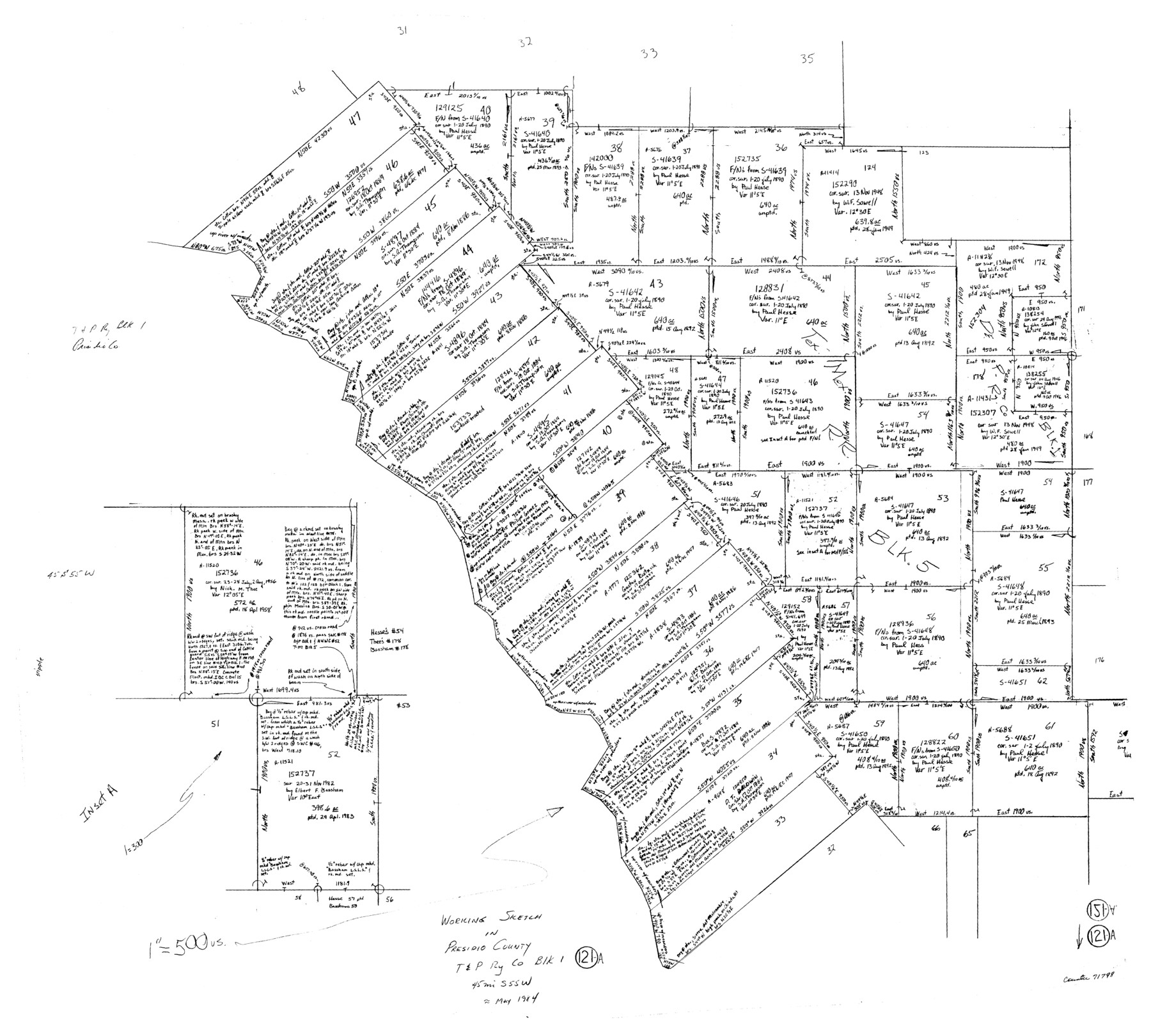
Presidio County Working Sketch 121a
- 
                          Map/Doc71798
- 
                            CollectionGeneral Map Collection
- 
                            Object Dates5/1984 (Creation Date)
- 
                            CountiesPresidio
- 
                            SubjectsSurveying Working Sketch
- 
                            Height x Width34.2 x 38.0 inches86.9 x 96.5 cm
- 
                            Scale1" = 500 varas
Part of: General Map Collection
            Map of Haskell County


                                            Print $20.00                    
                                             -                         Digital $50.00                                    
                Map of Haskell County
1899
Size 40.1 x 35.3 inches
                                Map/Doc 16847
            
            Eastland County Working Sketch 55


                                            Print $20.00                    
                                             -                         Digital $50.00                                    
                Eastland County Working Sketch 55
1984
Size 33.5 x 37.8 inches
                                Map/Doc 68836
            
            Denton County Sketch File C


                                            Print $10.00                    
                                             -                         Digital $50.00                                    
                Denton County Sketch File C
1882
Size 10.9 x 8.3 inches
                                Map/Doc 20682
            
            Sutton County Rolled Sketch 53


                                            Print $20.00                    
                                             -                         Digital $50.00                                    
                Sutton County Rolled Sketch 53
1952
Size 23.4 x 15.5 inches
                                Map/Doc 7893
            
            Menard County


                                            Print $20.00                    
                                             -                         Digital $50.00                                    
                Menard County
1942
Size 42.2 x 44.4 inches
                                Map/Doc 95588
            
            McMullen County Sketch File 19


                                            Print $4.00                    
                                             -                         Digital $50.00                                    
                McMullen County Sketch File 19
Size 12.8 x 8.1 inches
                                Map/Doc 31371
            
            Isogonic Chart for 1950, United States.  Including Isoporic Lines


                                            Print $20.00                    
                                             -                         Digital $50.00                                    
                Isogonic Chart for 1950, United States. Including Isoporic Lines
1950
Size 32.2 x 47.2 inches
                                Map/Doc 75921
            
            Kleberg County Rolled Sketch 10-15


                                            Print $20.00                    
                                             -                         Digital $50.00                                    
                Kleberg County Rolled Sketch 10-15
1951
Size 37.4 x 33.1 inches
                                Map/Doc 9367
            
            Nueces River, Bluntzer Sheet


                                            Print $20.00                    
                                             -                         Digital $50.00                                    
                Nueces River, Bluntzer Sheet
1927
Size 35.3 x 42.9 inches
                                Map/Doc 65088
            
            Roberts County Working Sketch 26


                                            Print $20.00                    
                                             -                         Digital $50.00                                    
                Roberts County Working Sketch 26
1982
Size 28.5 x 31.6 inches
                                Map/Doc 63552
            
            [Surveys in the Bexar District]
            
                                    ![24, [Surveys in the Bexar District], General Map Collection](https://historictexasmaps.com/wmedia_w700/maps/24-1.tif.jpg) 


    ![24, [Surveys in the Bexar District], General Map Collection](https://historictexasmaps.com/wmedia_w700/maps/24-1.tif.jpg) 
                                
            
                                            Print $20.00                    
                                             -                         Digital $50.00                                    
                [Surveys in the Bexar District]
1841
Size 23.0 x 16.5 inches
                                Map/Doc 24
            
            Duval County Working Sketch 30


                                            Print $20.00                    
                                             -                         Digital $50.00                                    
                Duval County Working Sketch 30
1950
Size 29.1 x 33.5 inches
                                Map/Doc 68754
            You may also like
            Hardeman County Sketch File 3


                                            Print $8.00                    
                                             -                         Digital $50.00                                    
                Hardeman County Sketch File 3
1880
Size 14.2 x 8.8 inches
                                Map/Doc 24987
            
            Birds-eye view of the camp of the army of occupation commanded by Genl. Taylor near Corpus Christi, Texas (from the North)


                                            Print $20.00                    
                                             -                         Digital $50.00                                    
                Birds-eye view of the camp of the army of occupation commanded by Genl. Taylor near Corpus Christi, Texas (from the North)
Size 15.8 x 20.5 inches
                                Map/Doc 95951
            
            Culberson County Rolled Sketch 52


                                            Print $20.00                    
                                             -                         Digital $50.00                                    
                Culberson County Rolled Sketch 52
Size 19.0 x 24.8 inches
                                Map/Doc 5673
            
            Burleson County Sketch File 2


                                            Print $4.00                    
                                             -                         Digital $50.00                                    
                Burleson County Sketch File 2
1847
Size 10.7 x 8.0 inches
                                Map/Doc 16645
            
            Montague County Sketch File 20


                                            Print $42.00                    
                                             -                         Digital $50.00                                    
                Montague County Sketch File 20
1923
Size 34.6 x 19.8 inches
                                Map/Doc 12106
            
            Flight Mission No. BRA-16M, Frame 163, Jefferson County


                                            Print $20.00                    
                                             -                         Digital $50.00                                    
                Flight Mission No. BRA-16M, Frame 163, Jefferson County
1953
Size 18.6 x 22.3 inches
                                Map/Doc 85761
            
            Portion of States Submerged Area in Matagorda Bay


                                            Print $20.00                    
                                             -                         Digital $50.00                                    
                Portion of States Submerged Area in Matagorda Bay
1919
Size 16.8 x 17.2 inches
                                Map/Doc 2949
            
            Duval County Sketch File 64


                                            Print $6.00                    
                                             -                         Digital $50.00                                    
                Duval County Sketch File 64
1942
Size 14.2 x 9.0 inches
                                Map/Doc 21438
            
            Upton County Sketch File 6


                                            Print $10.00                    
                                             -                         Digital $50.00                                    
                Upton County Sketch File 6
1909
Size 11.3 x 8.6 inches
                                Map/Doc 38815
            
            Hamilton County Working Sketch 35


                                            Print $20.00                    
                                             -                         Digital $50.00                                    
                Hamilton County Working Sketch 35
Size 26.3 x 19.1 inches
                                Map/Doc 78286
            
            Louisiana and Texas Intracoastal Waterway, Section 7, Galveston Bay to Brazos River and Section 8, Brazos River to Matagorda Bay


                                            Print $20.00                    
                                             -                         Digital $50.00                                    
                Louisiana and Texas Intracoastal Waterway, Section 7, Galveston Bay to Brazos River and Section 8, Brazos River to Matagorda Bay
1929
Size 30.8 x 43.0 inches
                                Map/Doc 61841
            
            Culberson County Rolled Sketch 46


                                            Print $40.00                    
                                             -                         Digital $50.00                                    
                Culberson County Rolled Sketch 46
1953
Size 53.1 x 43.1 inches
                                Map/Doc 8754
            