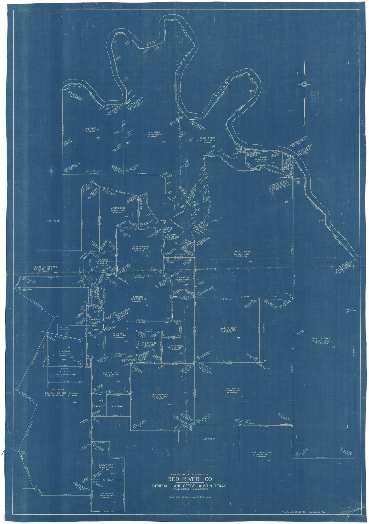
Red River County Working Sketch 19
-
Map/Doc
72002
-
Collection
General Map Collection
-
Object Dates
3/4/1955 (Creation Date)
-
People and Organizations
Otto G. Kurio (Draftsman)
-
Counties
Red River
-
Subjects
Surveying Working Sketch
-
Height x Width
55.0 x 38.6 inches
139.7 x 98.0 cm
-
Scale
1" = 400 varas
Part of: General Map Collection
Flight Mission No. DQN-1K, Frame 111, Calhoun County

Print $20.00
- Digital $50.00
Flight Mission No. DQN-1K, Frame 111, Calhoun County
1953
Size 18.5 x 22.2 inches
Map/Doc 84178
J No. 5 - Reconnaissance of San Clemente Harbor, California / Reconnaissance of Prisoner's Harbor, California / Reconnaissance of Cuyler's Harbor, Island of San Miguel, California

Print $20.00
- Digital $50.00
J No. 5 - Reconnaissance of San Clemente Harbor, California / Reconnaissance of Prisoner's Harbor, California / Reconnaissance of Cuyler's Harbor, Island of San Miguel, California
1852
Size 19.2 x 16.5 inches
Map/Doc 97234
Sulphur River, Harts Bluff Sheet

Print $3.00
- Digital $50.00
Sulphur River, Harts Bluff Sheet
1919
Size 13.1 x 18.0 inches
Map/Doc 78329
Sutton County Working Sketch 36

Print $20.00
- Digital $50.00
Sutton County Working Sketch 36
1945
Size 31.3 x 25.4 inches
Map/Doc 62379
Parker County Working Sketch 13

Print $20.00
- Digital $50.00
Parker County Working Sketch 13
1978
Map/Doc 71463
Reeves County Working Sketch 47

Print $20.00
- Digital $50.00
Reeves County Working Sketch 47
1974
Size 45.8 x 24.6 inches
Map/Doc 63490
Wharton County Rolled Sketch 9

Print $20.00
- Digital $50.00
Wharton County Rolled Sketch 9
1970
Size 30.1 x 41.3 inches
Map/Doc 8233
Ellis County Sketch File 2

Print $11.00
- Digital $50.00
Ellis County Sketch File 2
1858
Size 8.4 x 9.7 inches
Map/Doc 21827
Reeves County

Print $40.00
- Digital $50.00
Reeves County
1903
Size 48.7 x 36.5 inches
Map/Doc 16798
Presidio County Working Sketch 114

Print $40.00
- Digital $50.00
Presidio County Working Sketch 114
1981
Size 63.9 x 37.9 inches
Map/Doc 71791
Neches River, Texas Agricultural Experiment Station

Print $4.00
- Digital $50.00
Neches River, Texas Agricultural Experiment Station
1940
Size 21.7 x 20.6 inches
Map/Doc 65080
Flight Mission No. DJV-3P, Frame 13, Ellis County

Print $20.00
- Digital $50.00
Flight Mission No. DJV-3P, Frame 13, Ellis County
1956
Size 18.6 x 22.2 inches
Map/Doc 84975
You may also like
English Field Notes of the Spanish Archives - Book S

English Field Notes of the Spanish Archives - Book S
1835
Map/Doc 96543
Map of Tarrant County

Print $20.00
- Digital $50.00
Map of Tarrant County
1867
Size 30.0 x 19.3 inches
Map/Doc 4066
Map Showing Ten Divisions of the C. C. Slaughter Cattle Company's Ranch in Hockley and Cochran Counties, Texas

Print $3.00
- Digital $50.00
Map Showing Ten Divisions of the C. C. Slaughter Cattle Company's Ranch in Hockley and Cochran Counties, Texas
Size 13.2 x 10.7 inches
Map/Doc 91126
Milam County Working Sketch 12

Print $40.00
- Digital $50.00
Milam County Working Sketch 12
Size 44.3 x 56.4 inches
Map/Doc 71027
Map of Texas with population and location of principal towns and cities according to latest reliable statistics

Print $20.00
- Digital $50.00
Map of Texas with population and location of principal towns and cities according to latest reliable statistics
1908
Size 19.6 x 21.6 inches
Map/Doc 94068
Williamson County Sketch File 16

Print $20.00
- Digital $50.00
Williamson County Sketch File 16
Size 16.8 x 25.5 inches
Map/Doc 12693
Flight Mission No. BRA-17M, Frame 8, Jefferson County

Print $20.00
- Digital $50.00
Flight Mission No. BRA-17M, Frame 8, Jefferson County
1953
Size 18.6 x 22.3 inches
Map/Doc 85789
Dallas County Rolled Sketch 5

Print $20.00
- Digital $50.00
Dallas County Rolled Sketch 5
1955
Size 23.8 x 30.8 inches
Map/Doc 5689
Flight Mission No. DQN-1K, Frame 82, Calhoun County

Print $20.00
- Digital $50.00
Flight Mission No. DQN-1K, Frame 82, Calhoun County
1953
Size 18.5 x 22.2 inches
Map/Doc 84167
Collingsworth County Rolled Sketch 3

Print $40.00
- Digital $50.00
Collingsworth County Rolled Sketch 3
1941
Size 55.7 x 23.2 inches
Map/Doc 8639
Hutchinson County Working Sketch 45

Print $20.00
- Digital $50.00
Hutchinson County Working Sketch 45
1979
Size 20.3 x 17.5 inches
Map/Doc 66405
Cottle County Working Sketch 2

Print $3.00
- Digital $50.00
Cottle County Working Sketch 2
1902
Size 9.9 x 13.2 inches
Map/Doc 68312