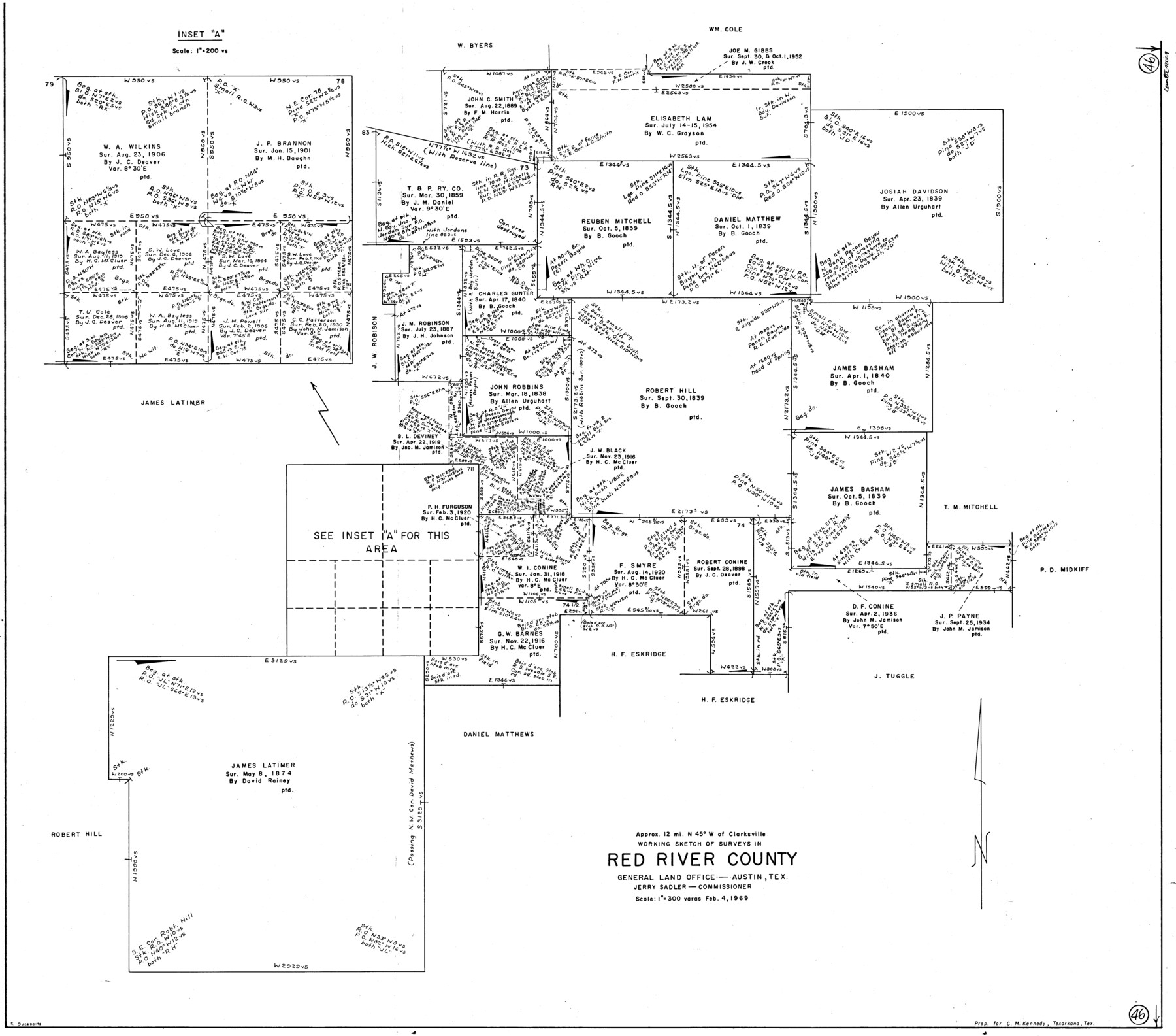
Red River County Working Sketch 46
-
Map/Doc
72029
-
Collection
General Map Collection
-
Object Dates
2/4/1969 (Donation Date)
-
People and Organizations
Roy Buckholts (Draftsman)
-
Counties
Red River
-
Subjects
Surveying Working Sketch
-
Height x Width
34.3 x 38.9 inches
87.1 x 98.8 cm
-
Scale
1" = 300 varas
Part of: General Map Collection
Parker County Working Sketch 7

Print $20.00
- Digital $50.00
Parker County Working Sketch 7
1955
Map/Doc 71457
Motley County Sketch File 14 (N)

Print $8.00
- Digital $50.00
Motley County Sketch File 14 (N)
Size 13.6 x 8.7 inches
Map/Doc 32048
Flight Mission No. BQR-9K, Frame 46, Brazoria County

Print $20.00
- Digital $50.00
Flight Mission No. BQR-9K, Frame 46, Brazoria County
1952
Size 18.7 x 22.3 inches
Map/Doc 84050
Lubbock County Sketch File 15

Print $6.00
- Digital $50.00
Lubbock County Sketch File 15
1902
Size 11.2 x 8.8 inches
Map/Doc 30440
Val Verde County Sketch File A1 1/2

Print $20.00
- Digital $50.00
Val Verde County Sketch File A1 1/2
Size 24.8 x 17.3 inches
Map/Doc 12539
Upton County Working Sketch 16

Print $20.00
- Digital $50.00
Upton County Working Sketch 16
1941
Size 17.1 x 12.0 inches
Map/Doc 69512
Cass County Working Sketch 28

Print $20.00
- Digital $50.00
Cass County Working Sketch 28
1979
Size 16.0 x 16.8 inches
Map/Doc 67931
Galveston County Sketch File 73f

Print $20.00
- Digital $50.00
Galveston County Sketch File 73f
Size 33.1 x 40.3 inches
Map/Doc 10459

Morris County Rolled Sketch 2

Print $40.00
- Digital $50.00
Morris County Rolled Sketch 2
1944
Size 59.4 x 43.5 inches
Map/Doc 9550
Val Verde County Working Sketch 26

Print $20.00
- Digital $50.00
Val Verde County Working Sketch 26
1936
Size 22.9 x 31.5 inches
Map/Doc 72161
Old Miscellaneous File 3

Print $4.00
- Digital $50.00
Old Miscellaneous File 3
1839
Size 8.8 x 8.2 inches
Map/Doc 75414
You may also like
Plat of Resurvey of Sections 1, 2, 3 and 4 T. 5S., R. 16W., of the Indian Meridian, Oklahoma

Print $4.00
- Digital $50.00
Plat of Resurvey of Sections 1, 2, 3 and 4 T. 5S., R. 16W., of the Indian Meridian, Oklahoma
1917
Size 18.3 x 24.1 inches
Map/Doc 75162
Bandera County Working Sketch 45

Print $20.00
- Digital $50.00
Bandera County Working Sketch 45
1981
Size 42.4 x 35.5 inches
Map/Doc 67641
Kimble County Working Sketch 45

Print $20.00
- Digital $50.00
Kimble County Working Sketch 45
1950
Size 26.4 x 28.5 inches
Map/Doc 70113

Lampasas County Rolled Sketch 1

Print $20.00
- Digital $50.00
Lampasas County Rolled Sketch 1
1975
Size 22.0 x 28.2 inches
Map/Doc 6564
Menard County

Print $20.00
- Digital $50.00
Menard County
1942
Size 40.1 x 43.7 inches
Map/Doc 66928
Map of Webb County

Print $20.00
- Digital $50.00
Map of Webb County
1888
Size 33.6 x 27.7 inches
Map/Doc 4128
Travis County Working Sketch 57

Print $20.00
- Digital $50.00
Travis County Working Sketch 57
1989
Size 42.8 x 44.0 inches
Map/Doc 69441
Winkler County Working Sketch 19

Print $20.00
- Digital $50.00
Winkler County Working Sketch 19
1990
Size 29.4 x 25.7 inches
Map/Doc 72613
Cherokee County Working Sketch Graphic Index

Print $40.00
- Digital $50.00
Cherokee County Working Sketch Graphic Index
1933
Size 56.7 x 40.0 inches
Map/Doc 76492
Kendall County Rolled Sketch 8

Print $20.00
- Digital $50.00
Kendall County Rolled Sketch 8
1994
Size 17.0 x 18.3 inches
Map/Doc 6461
Austin Old and New, a Mapguide to the Heart of the City including Capitol Complex & Government Buildings, Downtown Streets and Buildings, the University of Texas, Historical Sites, Parks & Trails, Sixth Street, Town Lake, Museums

Austin Old and New, a Mapguide to the Heart of the City including Capitol Complex & Government Buildings, Downtown Streets and Buildings, the University of Texas, Historical Sites, Parks & Trails, Sixth Street, Town Lake, Museums
Size 25.4 x 31.3 inches
Map/Doc 94379