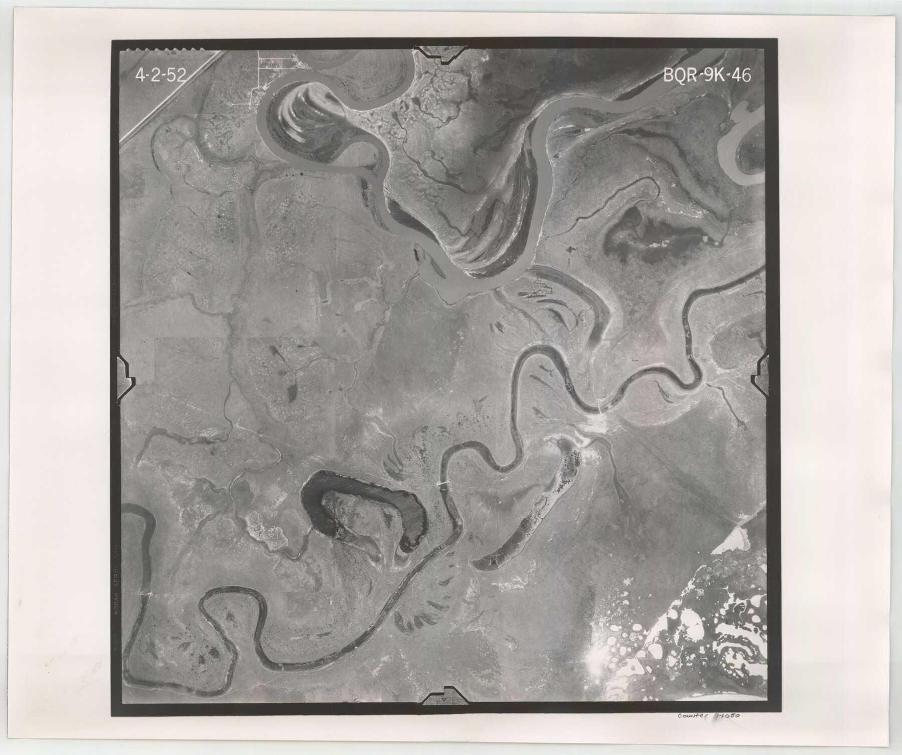
Flight Mission No. BQR-9K, Frame 46, Brazoria County
BQR-9K-46
-
Map/Doc
84050
-
Collection
General Map Collection
-
Object Dates
1952/4/2 (Creation Date)
-
People and Organizations
U. S. Department of Agriculture (Publisher)
-
Counties
Brazoria
-
Subjects
Aerial Photograph
-
Height x Width
18.7 x 22.3 inches
47.5 x 56.6 cm
-
Comments
Flown by Aero Exploration Company of Tulsa, Oklahoma.
Part of: General Map Collection

Louisiana and Texas Intracoastal Waterway - Matagorda Bay to San Antonio Bay Dredging - Sheet 1

Print $20.00
- Digital $50.00
Louisiana and Texas Intracoastal Waterway - Matagorda Bay to San Antonio Bay Dredging - Sheet 1
1942
Size 31.2 x 41.2 inches
Map/Doc 61823
Crockett County Rolled Sketch RC1

Print $20.00
- Digital $50.00
Crockett County Rolled Sketch RC1
1935
Size 43.7 x 30.6 inches
Map/Doc 8701

Topographic Map, Reynard Sheet, Trinity River; Houston and Leon Counties

Print $20.00
- Digital $50.00
Topographic Map, Reynard Sheet, Trinity River; Houston and Leon Counties
1925
Size 45.6 x 41.4 inches
Map/Doc 2469
Jefferson County Sketch File 21

Print $10.00
- Digital $50.00
Jefferson County Sketch File 21
Size 8.6 x 6.6 inches
Map/Doc 28171
Van Zandt County Working Sketch 15

Print $20.00
- Digital $50.00
Van Zandt County Working Sketch 15
1982
Size 30.9 x 39.0 inches
Map/Doc 72265
Harris County Working Sketch 102

Print $20.00
- Digital $50.00
Harris County Working Sketch 102
1980
Size 33.6 x 18.9 inches
Map/Doc 65994
Duval County Sketch File 37

Print $8.00
- Digital $50.00
Duval County Sketch File 37
Size 13.7 x 9.0 inches
Map/Doc 21385
Bandera County Working Sketch 11

Print $20.00
- Digital $50.00
Bandera County Working Sketch 11
1928
Size 17.8 x 27.4 inches
Map/Doc 67604
Crane County Rolled Sketch 14

Print $46.00
- Digital $50.00
Crane County Rolled Sketch 14
1935
Size 37.1 x 31.6 inches
Map/Doc 8680
Wilson County Working Sketch 1

Print $2.00
- Digital $50.00
Wilson County Working Sketch 1
Size 7.1 x 13.1 inches
Map/Doc 72581
You may also like
Aransas County Rolled Sketch 15C

Print $3.00
- Digital $50.00
Aransas County Rolled Sketch 15C
Size 10.2 x 17.6 inches
Map/Doc 76067
Sectional map of Texas traversed by the Missouri, Kansas & Texas Railway, showing the crops adapted to each section, with the elevation and annual rainfall

Print $20.00
- Digital $50.00
Sectional map of Texas traversed by the Missouri, Kansas & Texas Railway, showing the crops adapted to each section, with the elevation and annual rainfall
1908
Size 21.8 x 22.8 inches
Map/Doc 95817
Outer Continental Shelf Leasing Maps (Louisiana Offshore Operations)

Print $20.00
- Digital $50.00
Outer Continental Shelf Leasing Maps (Louisiana Offshore Operations)
1955
Size 17.8 x 11.6 inches
Map/Doc 76083
Presidio County Sketch File 37A

Print $18.00
- Digital $50.00
Presidio County Sketch File 37A
Size 11.4 x 8.8 inches
Map/Doc 34499
Deaf Smith County Sketch File 1 1/2

Print $20.00
- Digital $50.00
Deaf Smith County Sketch File 1 1/2
Size 20.7 x 17.1 inches
Map/Doc 11302
Amistad International Reservoir on Rio Grande 83

Print $20.00
- Digital $50.00
Amistad International Reservoir on Rio Grande 83
1949
Size 28.5 x 40.3 inches
Map/Doc 75512
Map of Oakhurst

Print $20.00
- Digital $50.00
Map of Oakhurst
1899
Size 23.0 x 32.9 inches
Map/Doc 7556
Dimmit County Working Sketch 24

Print $20.00
- Digital $50.00
Dimmit County Working Sketch 24
1954
Size 28.9 x 24.0 inches
Map/Doc 68685
Hutchinson County Sketch File 30

Print $6.00
- Digital $50.00
Hutchinson County Sketch File 30
1927
Size 11.2 x 8.8 inches
Map/Doc 27264
Hays County Sketch File 16a

Print $4.00
- Digital $50.00
Hays County Sketch File 16a
1871
Size 8.2 x 9.7 inches
Map/Doc 26229
Howard County Working Sketch 5

Print $20.00
- Digital $50.00
Howard County Working Sketch 5
1944
Size 23.9 x 32.8 inches
Map/Doc 66271
[Sketch for Mineral Application 24072, San Jacinto River]
![65599, [Sketch for Mineral Application 24072, San Jacinto River], General Map Collection](https://historictexasmaps.com/wmedia_w700/maps/65599.tif.jpg)
Print $20.00
- Digital $50.00
[Sketch for Mineral Application 24072, San Jacinto River]
1929
Size 23.5 x 18.0 inches
Map/Doc 65599