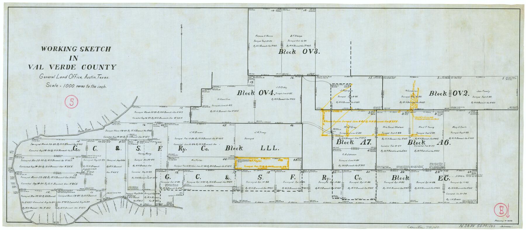
Val Verde County Working Sketch 5
-
Map/Doc
72140
-
Collection
General Map Collection
-
Object Dates
2/4/1909 (Creation Date)
-
Counties
Val Verde
-
Subjects
Surveying Working Sketch
-
Height x Width
13.0 x 29.8 inches
33.0 x 75.7 cm
-
Scale
1" = 1000 varas
Part of: General Map Collection
McCulloch County

Print $20.00
- Digital $50.00
McCulloch County
1874
Size 21.9 x 16.8 inches
Map/Doc 3856
Orange County Working Sketch 18

Print $20.00
- Digital $50.00
Orange County Working Sketch 18
1931
Size 28.1 x 36.9 inches
Map/Doc 71350
Frio County Sketch File 2a

Print $6.00
- Digital $50.00
Frio County Sketch File 2a
1861
Size 16.0 x 11.0 inches
Map/Doc 23107
Gray County Sketch File 10

Print $14.00
- Digital $50.00
Gray County Sketch File 10
Size 9.7 x 6.3 inches
Map/Doc 24445
Presidio County Sketch File 52

Print $10.00
- Digital $50.00
Presidio County Sketch File 52
1921
Size 11.5 x 8.8 inches
Map/Doc 34605
Newton County Working Sketch 5

Print $20.00
- Digital $50.00
Newton County Working Sketch 5
1926
Size 16.0 x 20.0 inches
Map/Doc 71251
Supreme Court of the United States, October Term, 1923, No. 15, Original - The State of Oklahoma, Complainant vs. The State of Texas, Defendant, The United States, Intervener; Report of the Boundary Commissioners

Print $20.00
- Digital $50.00
Supreme Court of the United States, October Term, 1923, No. 15, Original - The State of Oklahoma, Complainant vs. The State of Texas, Defendant, The United States, Intervener; Report of the Boundary Commissioners
1923
Size 35.1 x 41.1 inches
Map/Doc 82996
Comanche County

Print $20.00
- Digital $50.00
Comanche County
1896
Size 39.4 x 44.2 inches
Map/Doc 4734
Flight Mission No. BRE-5P, Frame 200, Nueces County

Print $20.00
- Digital $50.00
Flight Mission No. BRE-5P, Frame 200, Nueces County
1956
Size 18.6 x 22.7 inches
Map/Doc 86840
San Augustine County Sketch File 13a

Print $4.00
San Augustine County Sketch File 13a
1879
Size 8.9 x 14.5 inches
Map/Doc 35660
St. Louis, Brownsville & Mexico Railway Location map from Mile 40 to Mile 60

Print $40.00
- Digital $50.00
St. Louis, Brownsville & Mexico Railway Location map from Mile 40 to Mile 60
1905
Size 19.6 x 74.9 inches
Map/Doc 64079
Galveston County NRC Article 33.136 Sketch 42

Print $26.00
- Digital $50.00
Galveston County NRC Article 33.136 Sketch 42
2006
Size 22.1 x 33.7 inches
Map/Doc 83070
You may also like
Shelby County Rolled Sketch 15

Print $40.00
- Digital $50.00
Shelby County Rolled Sketch 15
1948
Size 22.8 x 54.4 inches
Map/Doc 10313
Culberson County Working Sketch 70

Print $40.00
- Digital $50.00
Culberson County Working Sketch 70
1975
Size 50.3 x 32.2 inches
Map/Doc 68524
Denton County Boundary File 2

Print $22.00
- Digital $50.00
Denton County Boundary File 2
Size 14.1 x 8.5 inches
Map/Doc 52413
[Sketch showing County School Land Surveys in Throckmorton Counties, Texas]
![628, [Sketch showing County School Land Surveys in Throckmorton Counties, Texas], Maddox Collection](https://historictexasmaps.com/wmedia_w700/maps/628-GC.tif.jpg)
Print $20.00
- Digital $50.00
[Sketch showing County School Land Surveys in Throckmorton Counties, Texas]
1889
Size 15.9 x 20.2 inches
Map/Doc 628

Flight Mission No. BQY-4M, Frame 125, Harris County

Print $20.00
- Digital $50.00
Flight Mission No. BQY-4M, Frame 125, Harris County
1953
Size 18.6 x 22.5 inches
Map/Doc 85293
Flight Mission No. CUG-1P, Frame 112, Kleberg County

Print $20.00
- Digital $50.00
Flight Mission No. CUG-1P, Frame 112, Kleberg County
1956
Size 18.5 x 22.3 inches
Map/Doc 86162
Castro County Sketch File 16

Print $4.00
- Digital $50.00
Castro County Sketch File 16
1891
Size 11.0 x 8.8 inches
Map/Doc 17513
Llano County Working Sketch 2

Print $20.00
- Digital $50.00
Llano County Working Sketch 2
1949
Size 21.0 x 24.3 inches
Map/Doc 70620
Bowie County Sketch File 8f

Print $10.00
- Digital $50.00
Bowie County Sketch File 8f
1928
Size 8.1 x 5.2 inches
Map/Doc 14902
[Subdivision Plat of 80 acres]
![93074, [Subdivision Plat of 80 acres], Twichell Survey Records](https://historictexasmaps.com/wmedia_w700/maps/93074-1.tif.jpg)
Print $2.00
- Digital $50.00
[Subdivision Plat of 80 acres]
Size 10.6 x 6.3 inches
Map/Doc 93074
Hood County Sketch File 3

Print $4.00
- Digital $50.00
Hood County Sketch File 3
1877
Size 12.7 x 8.1 inches
Map/Doc 26573