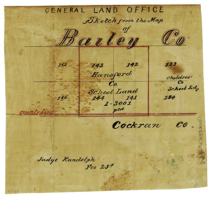
[Sketch showing County School Land Surveys in Throckmorton Counties, Texas]
- 
                          Map/Doc
628
 - 
                            Collection
Maddox Collection
 - 
                            Object Dates
1889/2/20 (Creation Date)
 - 
                            People and Organizations
R.M. Hall (GLO Commissioner)
 - 
                            Counties
Throckmorton Baylor
 - 
                            Height x Width
15.9 x 20.2 inches
40.4 x 51.3 cm
 - 
                            Medium
blueprint/diazo
 - 
                            Comments
Copied for Maddox Broth. & Anderson for a fee of $3.00.
 - 
                            Features
Boggy Creek
Hog Creek
 
Part of: Maddox Collection
            Collin County, Texas


                                            Print $20.00                    
                                             -                         Digital $50.00                                    
                Collin County, Texas
1879
Size 19.6 x 17.0 inches
                                Map/Doc 559
            
            Map of the O-X Ranch in Cottle County, Texas


                                            Print $20.00                    
                                             -                         Digital $50.00                                    
                Map of the O-X Ranch in Cottle County, Texas
1916
Size 30.4 x 35.0 inches
                                Map/Doc 4438
            
            Map of Brazos County, Texas


                                            Print $20.00                    
                                             -                         Digital $50.00                                    
                Map of Brazos County, Texas
1879
Size 21.6 x 15.3 inches
                                Map/Doc 597
            
            [Vague Sketches in Brooks County, Texas]


                                            Print $20.00                    
                                             -                         Digital $50.00                                    
                [Vague Sketches in Brooks County, Texas]
1906
Size 17.8 x 19.9 inches
                                Map/Doc 83352
            
            [CTRR Co. Block T, Cottle County, Texas]


                                            Print $20.00                    
                                             -                         Digital $50.00                                    
                [CTRR Co. Block T, Cottle County, Texas]
Size 21.5 x 14.0 inches
                                Map/Doc 10777
            
            Ellis County, Texas


                                            Print $20.00                    
                                             -                         Digital $50.00                                    
                Ellis County, Texas
1879
Size 21.2 x 29.6 inches
                                Map/Doc 714
            
            Resurvey of H.L. Upshur's April 23, 1853 meanders of the Colorado River from the NE corner of Isaac Decker league to the Congress Avenue Bridge


                                            Print $20.00                    
                                             -                         Digital $50.00                                    
                Resurvey of H.L. Upshur's April 23, 1853 meanders of the Colorado River from the NE corner of Isaac Decker league to the Congress Avenue Bridge
1915
Size 24.1 x 15.8 inches
                                Map/Doc 75774
            
            [El Javali Grant,] Sketch of 2560 acres of land in Starr County


                                            Print $20.00                    
                                             -                         Digital $50.00                                    
                [El Javali Grant,] Sketch of 2560 acres of land in Starr County
Size 13.4 x 14.0 inches
                                Map/Doc 474
            
            [Surveying Sketch of Martha G. Morrow, Mary Bigger, et al in Travis County]


                                            Print $3.00                    
                                             -                         Digital $50.00                                    
                [Surveying Sketch of Martha G. Morrow, Mary Bigger, et al in Travis County]
Size 12.4 x 9.6 inches
                                Map/Doc 522
            
            Brazoria County, Texas


                                            Print $20.00                    
                                             -                         Digital $50.00                                    
                Brazoria County, Texas
1877
Size 24.7 x 21.7 inches
                                Map/Doc 425
            
            Map of Tyler County, Texas


                                            Print $20.00                    
                                             -                         Digital $50.00                                    
                Map of Tyler County, Texas
1881
Size 22.3 x 24.2 inches
                                Map/Doc 762
            
            Map of Falls County, Texas


                                            Print $20.00                    
                                             -                         Digital $50.00                                    
                Map of Falls County, Texas
1879
Size 19.4 x 23.0 inches
                                Map/Doc 724
            You may also like
            America with those known parts in that unknowne worlde both people and manner of buildings


                                            Print $20.00                    
                                             -                         Digital $50.00                                    
                America with those known parts in that unknowne worlde both people and manner of buildings
1626
Size 17.1 x 22.2 inches
                                Map/Doc 93816
            
            Flight Mission No. DAG-16K, Frame 74, Matagorda County


                                            Print $20.00                    
                                             -                         Digital $50.00                                    
                Flight Mission No. DAG-16K, Frame 74, Matagorda County
1952
Size 18.6 x 22.3 inches
                                Map/Doc 86320
            
            General Highway Map, Williamson County, Texas


                                            Print $20.00                    
                                    
                General Highway Map, Williamson County, Texas
1961
Size 24.8 x 18.2 inches
                                Map/Doc 79712
            
            Donley County Sketch File 9


                                            Print $4.00                    
                                             -                         Digital $50.00                                    
                Donley County Sketch File 9
1884
Size 6.6 x 7.7 inches
                                Map/Doc 21238
            
            Sectional Map of Texas Traversed by the Missouri, Kansas, and Texas Railway Showing the crops adapted to each section, with the elevation and annual rainfall.


                                            Print $20.00                    
                                    
                Sectional Map of Texas Traversed by the Missouri, Kansas, and Texas Railway Showing the crops adapted to each section, with the elevation and annual rainfall.
1909
Size 21.8 x 22.9 inches
                                Map/Doc 76265
            
            Hale County Rolled Sketch 10


                                            Print $40.00                    
                                             -                         Digital $50.00                                    
                Hale County Rolled Sketch 10
Size 52.4 x 28.3 inches
                                Map/Doc 76447
            
            Flight Mission No. BRE-2P, Frame 80, Nueces County


                                            Print $20.00                    
                                             -                         Digital $50.00                                    
                Flight Mission No. BRE-2P, Frame 80, Nueces County
1956
Size 18.4 x 22.5 inches
                                Map/Doc 86775
            
            Texas Coast Showing Points of Occupation of Expedition Under Maj. Gen.  N.P. Banks, Novr. 1863


                                            Print $20.00                    
                                    
                Texas Coast Showing Points of Occupation of Expedition Under Maj. Gen. N.P. Banks, Novr. 1863
1863
Size 16.0 x 17.1 inches
                                Map/Doc 88593
            
            Flight Mission No. CGN-3P, Frame 53, San Patricio County


                                            Print $20.00                    
                                             -                         Digital $50.00                                    
                Flight Mission No. CGN-3P, Frame 53, San Patricio County
1956
Size 18.6 x 22.3 inches
                                Map/Doc 86983
            
            [Sections 29-32 in CRR Block 49, Miguel Tafoya Survey 1 Block MT, and vicinity]


                                            Print $20.00                    
                                             -                         Digital $50.00                                    
                [Sections 29-32 in CRR Block 49, Miguel Tafoya Survey 1 Block MT, and vicinity]
Size 23.4 x 21.0 inches
                                Map/Doc 90667
            
            Padre Island Under Six Flags


                                            Print $40.00                    
                                             -                         Digital $50.00                                    
                Padre Island Under Six Flags
1962
Size 63.7 x 36.9 inches
                                Map/Doc 3126