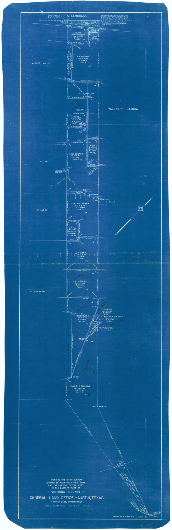
Victoria County Working Sketch 7
-
Map/Doc
72277
-
Collection
General Map Collection
-
Object Dates
6/15/1945 (Creation Date)
-
People and Organizations
Otto G. Kurio (Draftsman)
-
Counties
Victoria
-
Subjects
Surveying Working Sketch
-
Height x Width
55.3 x 18.0 inches
140.5 x 45.7 cm
-
Scale
1" = 200 varas
Part of: General Map Collection
Howard County Boundary File 2c

Print $44.00
- Digital $50.00
Howard County Boundary File 2c
Size 5.0 x 8.9 inches
Map/Doc 55126
Map of Coleman County

Print $20.00
- Digital $50.00
Map of Coleman County
Size 26.8 x 19.8 inches
Map/Doc 3408
Flight Mission No. BQY-4M, Frame 58, Harris County

Print $20.00
- Digital $50.00
Flight Mission No. BQY-4M, Frame 58, Harris County
1953
Size 18.5 x 22.3 inches
Map/Doc 85267
Panola County Working Sketch 37

Print $20.00
- Digital $50.00
Panola County Working Sketch 37
1984
Map/Doc 71446
Wheeler County Rolled Sketch 1

Print $20.00
- Digital $50.00
Wheeler County Rolled Sketch 1
1941
Size 43.9 x 23.7 inches
Map/Doc 10136
[Galveston, Harrisburg & San Antonio Railway]
![64407, [Galveston, Harrisburg & San Antonio Railway], General Map Collection](https://historictexasmaps.com/wmedia_w700/maps/64407.tif.jpg)
Print $20.00
- Digital $50.00
[Galveston, Harrisburg & San Antonio Railway]
1892
Size 13.9 x 34.0 inches
Map/Doc 64407
Calhoun County Rolled Sketch 26

Print $20.00
- Digital $50.00
Calhoun County Rolled Sketch 26
1941
Size 10.9 x 39.9 inches
Map/Doc 5374
Mills County Sketch File 4

Print $4.00
- Digital $50.00
Mills County Sketch File 4
Size 8.8 x 8.3 inches
Map/Doc 31648
[Surveys along the Colorado and Navidad Rivers]
![60, [Surveys along the Colorado and Navidad Rivers], General Map Collection](https://historictexasmaps.com/wmedia_w700/maps/60.tif.jpg)
Print $20.00
- Digital $50.00
[Surveys along the Colorado and Navidad Rivers]
1840
Size 28.6 x 22.5 inches
Map/Doc 60
Hudspeth County Working Sketch 55

Print $20.00
- Digital $50.00
Hudspeth County Working Sketch 55
1989
Size 22.3 x 29.5 inches
Map/Doc 66340
Surveys East of Cedar Lake

Print $20.00
- Digital $50.00
Surveys East of Cedar Lake
1824
Size 13.3 x 20.9 inches
Map/Doc 210
Harris County Working Sketch 51

Print $20.00
- Digital $50.00
Harris County Working Sketch 51
1947
Size 39.6 x 36.6 inches
Map/Doc 65943
You may also like
Hood County Sketch File 22

Print $6.00
- Digital $50.00
Hood County Sketch File 22
Size 15.7 x 9.3 inches
Map/Doc 26615
Marion County Sketch File 3

Print $8.00
- Digital $50.00
Marion County Sketch File 3
1860
Size 14.1 x 8.8 inches
Map/Doc 30566
Travis County Rolled Sketch 31

Print $20.00
- Digital $50.00
Travis County Rolled Sketch 31
1943
Size 43.4 x 27.3 inches
Map/Doc 8033
North end of Brazos Island

Print $20.00
- Digital $50.00
North end of Brazos Island
Size 26.0 x 18.3 inches
Map/Doc 72915
The Chief Justice County of Victoria. Lands in Conflict with Bexar and Gonzales Counties

Print $20.00
The Chief Justice County of Victoria. Lands in Conflict with Bexar and Gonzales Counties
2020
Size 23.3 x 21.7 inches
Map/Doc 96076
Flight Mission No. DJV-3P, Frame 14, Ellis County

Print $20.00
- Digital $50.00
Flight Mission No. DJV-3P, Frame 14, Ellis County
1956
Size 18.8 x 22.4 inches
Map/Doc 84976
Flight Mission No. CGI-1N, Frame 216, Cameron County

Print $20.00
- Digital $50.00
Flight Mission No. CGI-1N, Frame 216, Cameron County
1955
Size 18.5 x 22.2 inches
Map/Doc 84525
Map of Taylor, Bastrop & Houston Railway through Colorado County, Texas

Print $20.00
- Digital $50.00
Map of Taylor, Bastrop & Houston Railway through Colorado County, Texas
1888
Size 12.7 x 20.0 inches
Map/Doc 64289
Bexar County Rolled Sketch 5

Print $20.00
- Digital $50.00
Bexar County Rolled Sketch 5
1984
Size 24.3 x 18.6 inches
Map/Doc 5140
Subdivisions of University League 8 in Cooke County

Subdivisions of University League 8 in Cooke County
Map/Doc 81728
San Augustine County Working Sketch 26

Print $40.00
- Digital $50.00
San Augustine County Working Sketch 26
2008
Size 63.9 x 33.5 inches
Map/Doc 88823
[Vicinity of Wilson Strickland Survey]
![91379, [Vicinity of Wilson Strickland Survey], Twichell Survey Records](https://historictexasmaps.com/wmedia_w700/maps/91379-1.tif.jpg)
Print $20.00
- Digital $50.00
[Vicinity of Wilson Strickland Survey]
Size 35.9 x 33.3 inches
Map/Doc 91379