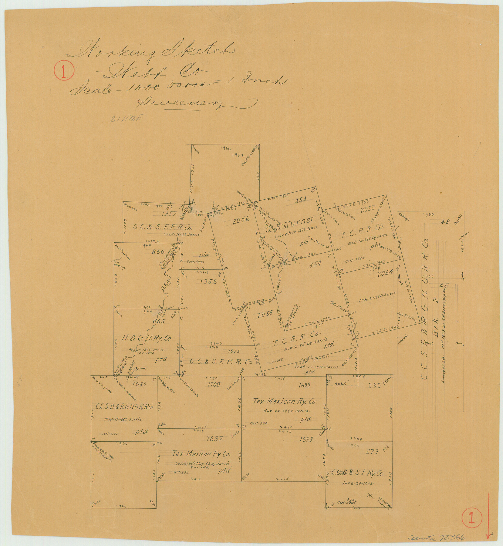
Webb County Working Sketch 1
-
Map/Doc
72366
-
Collection
General Map Collection
-
People and Organizations
Frank R. Sweeney (Draftsman)
-
Counties
Webb
-
Subjects
Surveying Working Sketch
-
Height x Width
15.6 x 14.4 inches
39.6 x 36.6 cm
-
Scale
1" = 1000 varas
Part of: General Map Collection
Aransas County Rolled Sketch 34

Print $42.00
- Digital $50.00
Aransas County Rolled Sketch 34
2004
Size 24.5 x 36.5 inches
Map/Doc 83637
Flight Mission No. BRA-7M, Frame 5, Jefferson County

Print $20.00
- Digital $50.00
Flight Mission No. BRA-7M, Frame 5, Jefferson County
1953
Size 18.6 x 22.2 inches
Map/Doc 85456

Flight Mission No. BRA-16M, Frame 84, Jefferson County

Print $20.00
- Digital $50.00
Flight Mission No. BRA-16M, Frame 84, Jefferson County
1953
Size 18.6 x 22.1 inches
Map/Doc 85696
Flight Mission No. BRA-7M, Frame 85, Jefferson County

Print $20.00
- Digital $50.00
Flight Mission No. BRA-7M, Frame 85, Jefferson County
1953
Size 18.7 x 22.4 inches
Map/Doc 85507
Brazoria County Rolled Sketch 37

Print $20.00
- Digital $50.00
Brazoria County Rolled Sketch 37
Size 18.5 x 25.0 inches
Map/Doc 5173
Ward County Working Sketch 28

Print $40.00
- Digital $50.00
Ward County Working Sketch 28
1964
Size 60.9 x 29.1 inches
Map/Doc 72334
Hardin County

Print $40.00
- Digital $50.00
Hardin County
1940
Size 48.8 x 44.3 inches
Map/Doc 95521
Foard County Rolled Sketch 14 1/2

Print $20.00
- Digital $50.00
Foard County Rolled Sketch 14 1/2
1888
Size 20.8 x 37.4 inches
Map/Doc 5889
Jefferson County Rolled Sketch 4

Print $40.00
- Digital $50.00
Jefferson County Rolled Sketch 4
Size 36.7 x 65.3 inches
Map/Doc 9269
Upshur County Working Sketch 10a

Print $20.00
- Digital $50.00
Upshur County Working Sketch 10a
1969
Size 15.8 x 18.7 inches
Map/Doc 69567
Baylor County Sketch File 4

Print $4.00
- Digital $50.00
Baylor County Sketch File 4
1872
Size 12.8 x 8.3 inches
Map/Doc 14126
You may also like
Southwest Part of Anton Chico Grant Guadalupe County, New Mexico

Print $20.00
- Digital $50.00
Southwest Part of Anton Chico Grant Guadalupe County, New Mexico
Size 23.8 x 28.6 inches
Map/Doc 92435
Williamson County Working Sketch 8

Print $20.00
- Digital $50.00
Williamson County Working Sketch 8
1950
Size 43.4 x 25.4 inches
Map/Doc 72568
Chambers County Sketch File 21

Print $20.00
- Digital $50.00
Chambers County Sketch File 21
Size 29.3 x 32.8 inches
Map/Doc 10331
Kendall County Sketch File 16a

Print $40.00
- Digital $50.00
Kendall County Sketch File 16a
1891
Size 15.3 x 13.7 inches
Map/Doc 28707
Reeves County Working Sketch 43

Print $20.00
- Digital $50.00
Reeves County Working Sketch 43
1974
Size 43.2 x 37.1 inches
Map/Doc 63486

Montgomery County Rolled Sketch 26A

Print $20.00
- Digital $50.00
Montgomery County Rolled Sketch 26A
1941
Size 26.9 x 36.8 inches
Map/Doc 6808
Map Showing Corrections of Capitol Leagues in Conflict in Oldham Co.

Print $40.00
- Digital $50.00
Map Showing Corrections of Capitol Leagues in Conflict in Oldham Co.
1886
Size 52.5 x 31.3 inches
Map/Doc 89800

Lamb County Working Sketch 4

Print $40.00
- Digital $50.00
Lamb County Working Sketch 4
1984
Size 42.9 x 58.0 inches
Map/Doc 70277
Collin County

Print $20.00
- Digital $50.00
Collin County
1975
Size 42.2 x 39.4 inches
Map/Doc 77242
Liberty County

Print $20.00
- Digital $50.00
Liberty County
1882
Size 26.1 x 24.8 inches
Map/Doc 3813