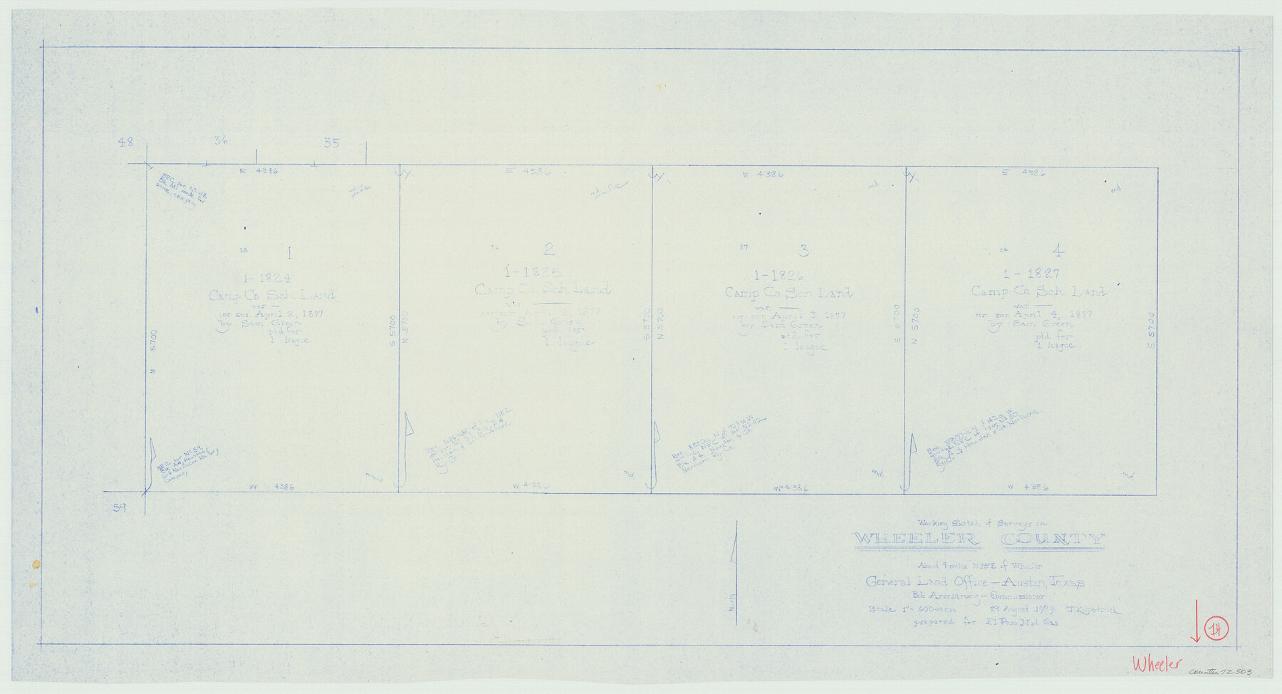
Wheeler County Working Sketch 14
-
Map/Doc
72503
-
Collection
General Map Collection
-
Object Dates
8/29/1979 (Creation Date)
-
People and Organizations
Joan Kilpatrick (Draftsman)
-
Counties
Wheeler
-
Subjects
Surveying Working Sketch
-
Height x Width
20.1 x 37.2 inches
51.1 x 94.5 cm
-
Scale
1" = 600 varas
Part of: General Map Collection
Blanco County Working Sketch 42

Print $20.00
- Digital $50.00
Blanco County Working Sketch 42
1986
Size 35.1 x 30.7 inches
Map/Doc 67402
Liberty County Sketch File 25

Print $8.00
- Digital $50.00
Liberty County Sketch File 25
1861
Size 8.0 x 10.0 inches
Map/Doc 29939
Kendall County Boundary File 2

Print $4.00
- Digital $50.00
Kendall County Boundary File 2
Size 10.2 x 8.2 inches
Map/Doc 55746
Dallas County Working Sketch 1

Print $20.00
- Digital $50.00
Dallas County Working Sketch 1
Size 41.4 x 28.3 inches
Map/Doc 68567
Ochiltree County Working Sketch 8

Print $20.00
- Digital $50.00
Ochiltree County Working Sketch 8
1982
Size 23.4 x 20.8 inches
Map/Doc 71321
1882 Map of the Texas & Pacific R-Y Reserve

Print $40.00
- Digital $50.00
1882 Map of the Texas & Pacific R-Y Reserve
1888
Size 95.6 x 42.5 inches
Map/Doc 2299
Houston County Working Sketch 36

Print $40.00
- Digital $50.00
Houston County Working Sketch 36
1987
Size 61.2 x 43.6 inches
Map/Doc 78231
Chambers County

Print $20.00
- Digital $50.00
Chambers County
1862
Size 20.2 x 27.8 inches
Map/Doc 3381
Gregg County Boundary File 9

Print $16.00
- Digital $50.00
Gregg County Boundary File 9
Size 4.1 x 14.9 inches
Map/Doc 54023
Flight Mission No. DAG-21K, Frame 128, Matagorda County

Print $20.00
- Digital $50.00
Flight Mission No. DAG-21K, Frame 128, Matagorda County
1952
Size 18.4 x 22.3 inches
Map/Doc 86454
Hardeman County Sketch File 9

Print $20.00
- Digital $50.00
Hardeman County Sketch File 9
1884
Size 27.7 x 30.1 inches
Map/Doc 11624
Flight Mission No. DQO-8K, Frame 7, Galveston County

Print $20.00
- Digital $50.00
Flight Mission No. DQO-8K, Frame 7, Galveston County
1952
Size 18.7 x 22.4 inches
Map/Doc 85130
You may also like
Galveston County Sketch File 16

Print $6.00
- Digital $50.00
Galveston County Sketch File 16
Size 7.8 x 6.3 inches
Map/Doc 23384
Galveston to Rio Grande

Print $20.00
- Digital $50.00
Galveston to Rio Grande
1946
Size 44.6 x 36.6 inches
Map/Doc 69952
Honey Grove, Tex., Fannin County, 1886

Print $20.00
Honey Grove, Tex., Fannin County, 1886
1886
Size 18.4 x 23.9 inches
Map/Doc 93479
Liberty County Sketch File 59

Print $6.00
- Digital $50.00
Liberty County Sketch File 59
1943
Size 14.2 x 8.8 inches
Map/Doc 30068
Harrison County Working Sketch 15

Print $20.00
- Digital $50.00
Harrison County Working Sketch 15
1961
Size 25.7 x 18.0 inches
Map/Doc 66035
Zavala County Working Sketch 2

Print $20.00
- Digital $50.00
Zavala County Working Sketch 2
Size 21.5 x 16.5 inches
Map/Doc 62077
El Paso County Working Sketch 28

Print $20.00
- Digital $50.00
El Paso County Working Sketch 28
1966
Size 24.0 x 31.5 inches
Map/Doc 69050
Andrews County Rolled Sketch 18

Print $20.00
- Digital $50.00
Andrews County Rolled Sketch 18
1942
Size 26.0 x 31.3 inches
Map/Doc 8394
Travis County

Print $40.00
- Digital $50.00
Travis County
1936
Size 46.9 x 54.1 inches
Map/Doc 95479
Van Zandt County

Print $20.00
- Digital $50.00
Van Zandt County
1972
Size 47.0 x 41.8 inches
Map/Doc 73312
Flight Mission No. DQN-3K, Frame 75, Calhoun County

Print $20.00
- Digital $50.00
Flight Mission No. DQN-3K, Frame 75, Calhoun County
1953
Size 18.6 x 22.4 inches
Map/Doc 84366
Galveston County NRC Article 33.136 Sketch 65

Print $28.00
- Digital $50.00
Galveston County NRC Article 33.136 Sketch 65
2012
Size 24.0 x 36.0 inches
Map/Doc 93328