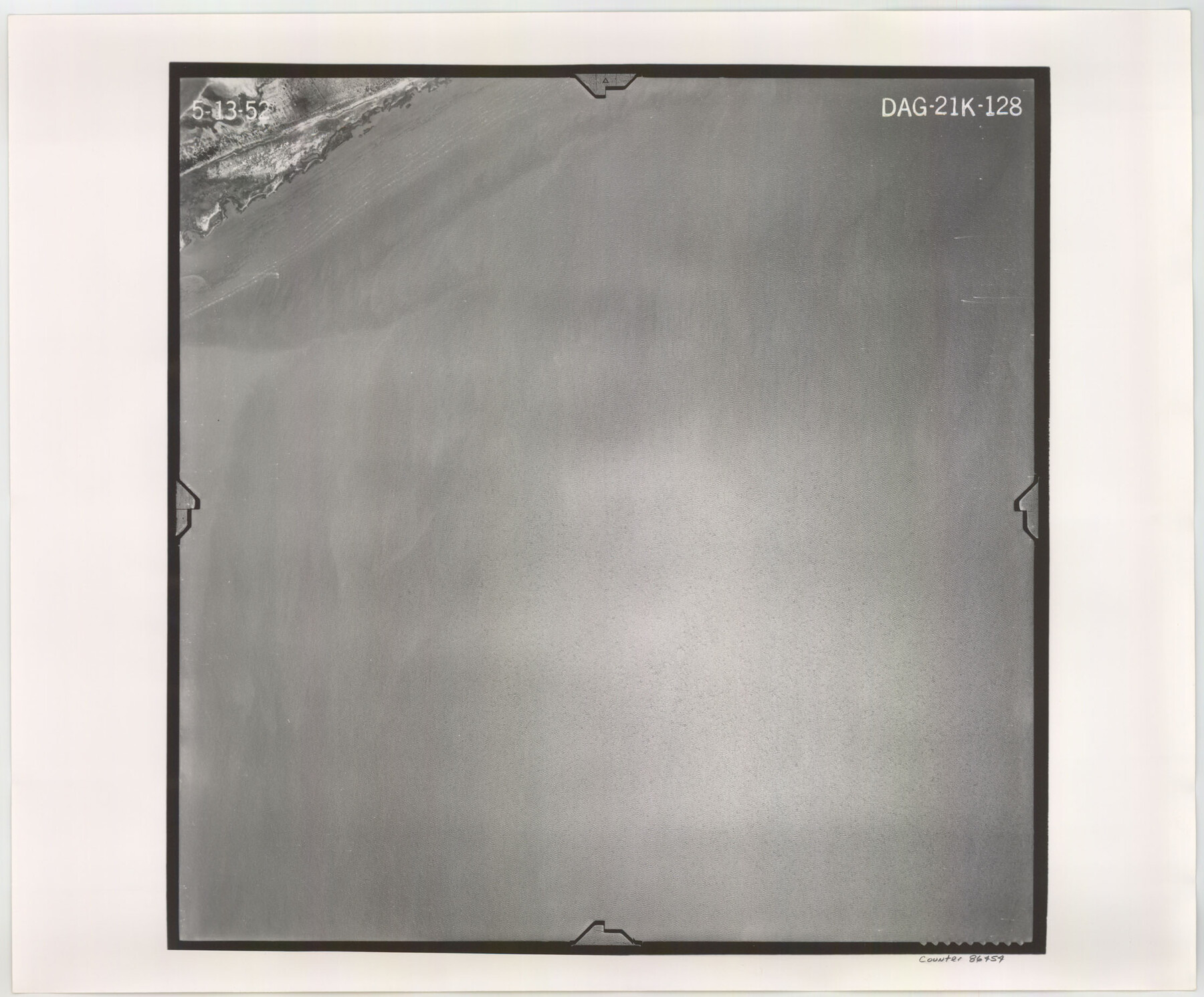
Flight Mission No. DAG-21K, Frame 128, Matagorda County
DAG-21K-128
-
Map/Doc
86454
-
Collection
General Map Collection
-
Object Dates
1952/5/13 (Creation Date)
-
People and Organizations
U. S. Department of Agriculture (Publisher)
-
Counties
Matagorda
-
Subjects
Aerial Photograph
-
Height x Width
18.4 x 22.3 inches
46.7 x 56.6 cm
-
Comments
Flown by Aero Exploration Company of Tulsa, Oklahoma.
Part of: General Map Collection
Knox County Boundary File 1a

Print $16.00
- Digital $50.00
Knox County Boundary File 1a
Size 9.7 x 13.8 inches
Map/Doc 65010
Orange County Sketch File 17a

Print $4.00
- Digital $50.00
Orange County Sketch File 17a
Size 9.9 x 8.3 inches
Map/Doc 33342
Map of France, Spain, Portugal and Italy engraved to illustrate Mitchell's school and family geography (Inset: Greece and the Ionian Islands)

Print $20.00
- Digital $50.00
Map of France, Spain, Portugal and Italy engraved to illustrate Mitchell's school and family geography (Inset: Greece and the Ionian Islands)
1846
Size 9.5 x 11.8 inches
Map/Doc 93505
West Part Presidio Co.

Print $20.00
- Digital $50.00
West Part Presidio Co.
1974
Size 43.2 x 34.3 inches
Map/Doc 95618
Shackelford County Sketch File 8

Print $44.00
- Digital $50.00
Shackelford County Sketch File 8
1936
Size 11.5 x 8.8 inches
Map/Doc 59290
Flight Mission No. BRE-3P, Frame 97, Nueces County

Print $20.00
- Digital $50.00
Flight Mission No. BRE-3P, Frame 97, Nueces County
1956
Size 18.4 x 22.2 inches
Map/Doc 86828
Gregg County Rolled Sketch 26

Print $40.00
- Digital $50.00
Gregg County Rolled Sketch 26
1937
Size 25.8 x 129.0 inches
Map/Doc 9077
Wise County Sketch File 39

Print $4.00
- Digital $50.00
Wise County Sketch File 39
1860
Size 9.3 x 8.1 inches
Map/Doc 40595
Colorado County Sketch File 19

Print $4.00
- Digital $50.00
Colorado County Sketch File 19
Size 9.1 x 7.5 inches
Map/Doc 18952
Travis County Working Sketch 15

Print $20.00
- Digital $50.00
Travis County Working Sketch 15
1939
Size 16.1 x 19.7 inches
Map/Doc 69399
Duval County Rolled Sketch 37

Print $20.00
- Digital $50.00
Duval County Rolled Sketch 37
Size 19.8 x 16.5 inches
Map/Doc 5754
Runnels County Sketch File 17

Print $6.00
Runnels County Sketch File 17
Size 11.0 x 13.6 inches
Map/Doc 35474
You may also like
Leon County Working Sketch 22

Print $20.00
- Digital $50.00
Leon County Working Sketch 22
1965
Size 27.9 x 31.1 inches
Map/Doc 70421
Outer Continental Shelf Leasing Maps (Texas Offshore Operations)

Print $20.00
- Digital $50.00
Outer Continental Shelf Leasing Maps (Texas Offshore Operations)
Size 21.0 x 15.2 inches
Map/Doc 75840
The Mexican Municipality of Jefferson. Defined, December 9, 1835

Print $20.00
The Mexican Municipality of Jefferson. Defined, December 9, 1835
2020
Size 15.5 x 21.7 inches
Map/Doc 96024
Lavaca County Sketch File 1

Print $4.00
- Digital $50.00
Lavaca County Sketch File 1
1848
Size 12.7 x 8.2 inches
Map/Doc 29628
Armstrong County Working Sketch 4

Print $20.00
- Digital $50.00
Armstrong County Working Sketch 4
1918
Size 23.9 x 32.0 inches
Map/Doc 67235
Amérique Septentrionale

Print $20.00
Amérique Septentrionale
1845
Size 13.8 x 20.3 inches
Map/Doc 94571
Polk County Working Sketch 29

Print $40.00
- Digital $50.00
Polk County Working Sketch 29
1960
Size 56.0 x 45.0 inches
Map/Doc 71645
Goliad County Working Sketch 6

Print $20.00
- Digital $50.00
Goliad County Working Sketch 6
1930
Size 20.9 x 22.2 inches
Map/Doc 63196

Menard County Boundary File 7

Print $6.00
- Digital $50.00
Menard County Boundary File 7
Size 10.5 x 8.1 inches
Map/Doc 57089
Pecos County Working Sketch 89

Print $20.00
- Digital $50.00
Pecos County Working Sketch 89
1964
Size 46.5 x 34.2 inches
Map/Doc 78216
Clay County Sketch File 8

Print $4.00
- Digital $50.00
Clay County Sketch File 8
1860
Size 5.5 x 8.3 inches
Map/Doc 18398