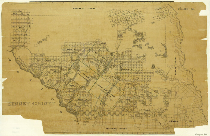
[Gulf Coast of Texas]
RL-1-9b
-
Map/Doc
72701
-
Collection
General Map Collection
-
Object Dates
1881 (Creation Date)
-
Subjects
Gulf of Mexico
-
Height x Width
18.2 x 28.5 inches
46.2 x 72.4 cm
-
Comments
B/W photostat copy from National Archives in multiple pieces.
Part of: General Map Collection
Colorado County Sketch File 16a
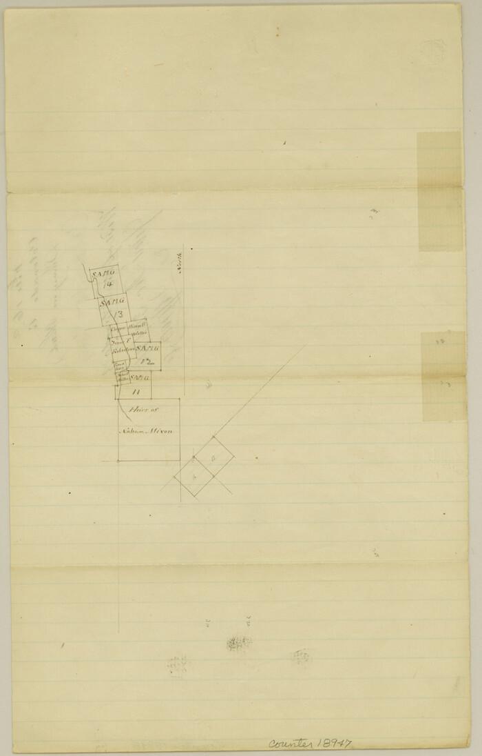

Print $4.00
- Digital $50.00
Colorado County Sketch File 16a
Size 12.7 x 8.1 inches
Map/Doc 18947
Mitchell County Working Sketch 4, draft


Print $40.00
- Digital $50.00
Mitchell County Working Sketch 4, draft
Size 25.7 x 59.5 inches
Map/Doc 78202
Map of Hays Co.
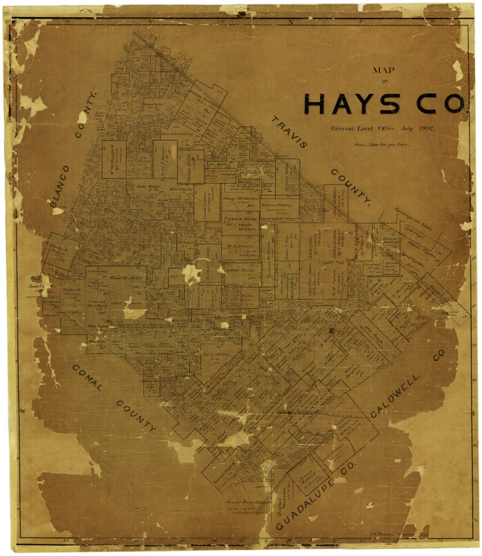

Print $20.00
- Digital $50.00
Map of Hays Co.
1902
Size 46.5 x 40.7 inches
Map/Doc 4679
Galveston County Rolled Sketch 51
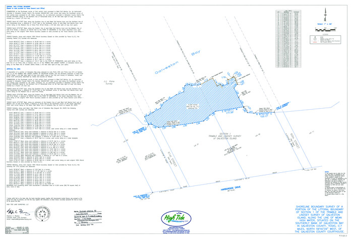

Print $20.00
- Digital $50.00
Galveston County Rolled Sketch 51
2023
Size 24.1 x 35.6 inches
Map/Doc 97521
Winkler County Sketch File 17


Print $18.00
- Digital $50.00
Winkler County Sketch File 17
1920
Size 14.3 x 8.6 inches
Map/Doc 40508
Map of Orange County
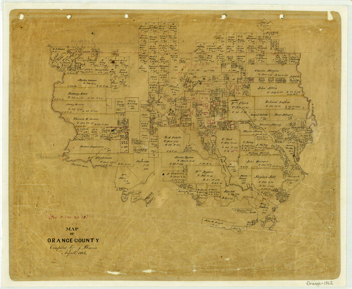

Print $20.00
- Digital $50.00
Map of Orange County
1862
Size 13.6 x 16.5 inches
Map/Doc 3929
Culberson County Rolled Sketch 27
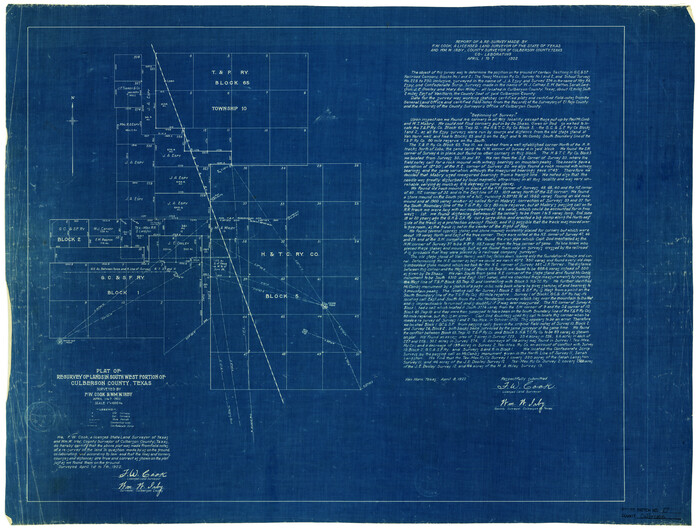

Print $20.00
- Digital $50.00
Culberson County Rolled Sketch 27
1922
Size 26.8 x 34.9 inches
Map/Doc 5656
Webb County Working Sketch 9
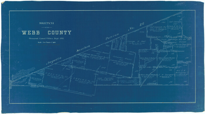

Print $20.00
- Digital $50.00
Webb County Working Sketch 9
1911
Size 17.2 x 30.8 inches
Map/Doc 72374
Amistad International Reservoir on Rio Grande 80
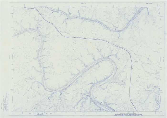

Print $20.00
- Digital $50.00
Amistad International Reservoir on Rio Grande 80
1949
Size 28.4 x 40.2 inches
Map/Doc 75509
Hill County Rolled Sketch 1


Print $20.00
- Digital $50.00
Hill County Rolled Sketch 1
1950
Size 13.1 x 41.0 inches
Map/Doc 6214
Real County Working Sketch 7
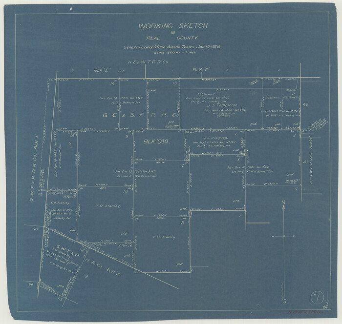

Print $20.00
- Digital $50.00
Real County Working Sketch 7
1928
Size 18.4 x 19.4 inches
Map/Doc 71899
Val Verde County Working Sketch Graphic Index, Sheet 1 (Sketches 1 to 25)
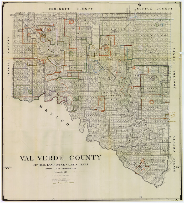

Print $20.00
- Digital $50.00
Val Verde County Working Sketch Graphic Index, Sheet 1 (Sketches 1 to 25)
1944
Size 40.4 x 36.5 inches
Map/Doc 76724
You may also like
Texas City Heights being a subdivision of the east half of the Robert Logan one third league, Galveston County, Texas


Print $20.00
- Digital $50.00
Texas City Heights being a subdivision of the east half of the Robert Logan one third league, Galveston County, Texas
1895
Size 22.4 x 17.3 inches
Map/Doc 95356
Map of Comanche County
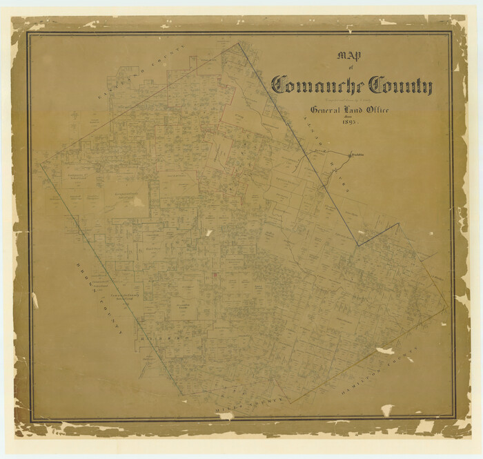

Print $40.00
- Digital $50.00
Map of Comanche County
1895
Size 47.5 x 50.0 inches
Map/Doc 4735
Dimmit County Sketch File 13
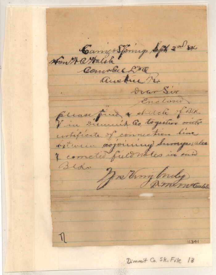

Print $46.00
- Digital $50.00
Dimmit County Sketch File 13
1884
Size 22.6 x 36.5 inches
Map/Doc 11341
Flight Mission No. DQN-3K, Frame 8, Calhoun County


Print $20.00
- Digital $50.00
Flight Mission No. DQN-3K, Frame 8, Calhoun County
1953
Size 18.5 x 22.1 inches
Map/Doc 84340
Flight Mission No. BRA-17M, Frame 14, Jefferson County
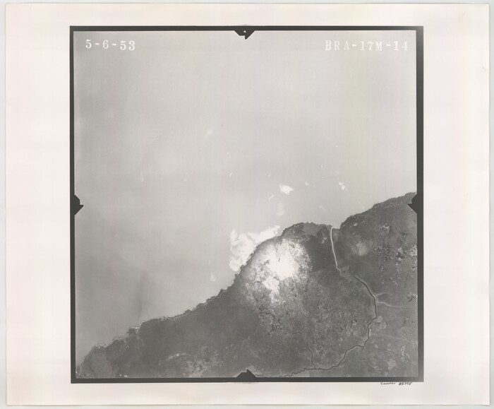

Print $20.00
- Digital $50.00
Flight Mission No. BRA-17M, Frame 14, Jefferson County
1953
Size 18.5 x 22.3 inches
Map/Doc 85795
Goliad County Working Sketch 21


Print $20.00
- Digital $50.00
Goliad County Working Sketch 21
1961
Size 42.9 x 39.6 inches
Map/Doc 63211
Hunt County Sketch File 35


Print $4.00
- Digital $50.00
Hunt County Sketch File 35
Size 5.3 x 8.3 inches
Map/Doc 27148
Webb County Sketch File 20
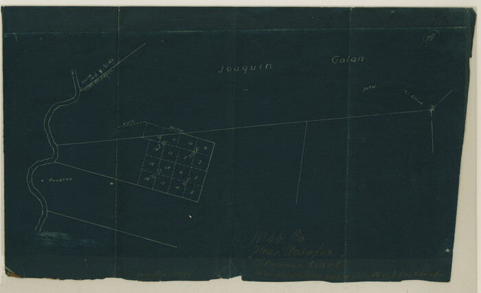

Print $4.00
- Digital $50.00
Webb County Sketch File 20
Size 8.8 x 14.4 inches
Map/Doc 39827
Kinney County Working Sketch 50
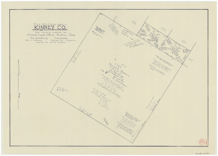

Print $20.00
- Digital $50.00
Kinney County Working Sketch 50
1980
Size 19.4 x 26.9 inches
Map/Doc 70232
Castro County Working Sketch 2


Print $20.00
- Digital $50.00
Castro County Working Sketch 2
Size 30.4 x 26.2 inches
Map/Doc 67897
San Patricio County Rolled Sketch 50
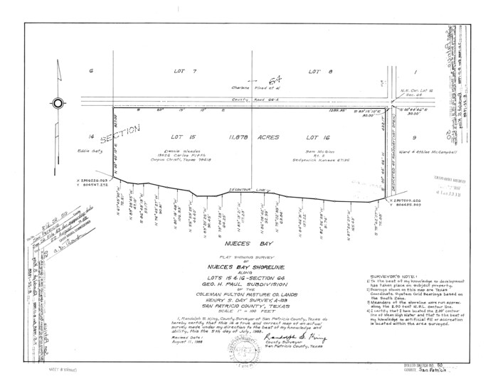

Print $29.00
- Digital $50.00
San Patricio County Rolled Sketch 50
1988
Size 18.2 x 23.5 inches
Map/Doc 7736
![72701, [Gulf Coast of Texas], General Map Collection](https://historictexasmaps.com/wmedia_w1800h1800/maps/72701.tif.jpg)
