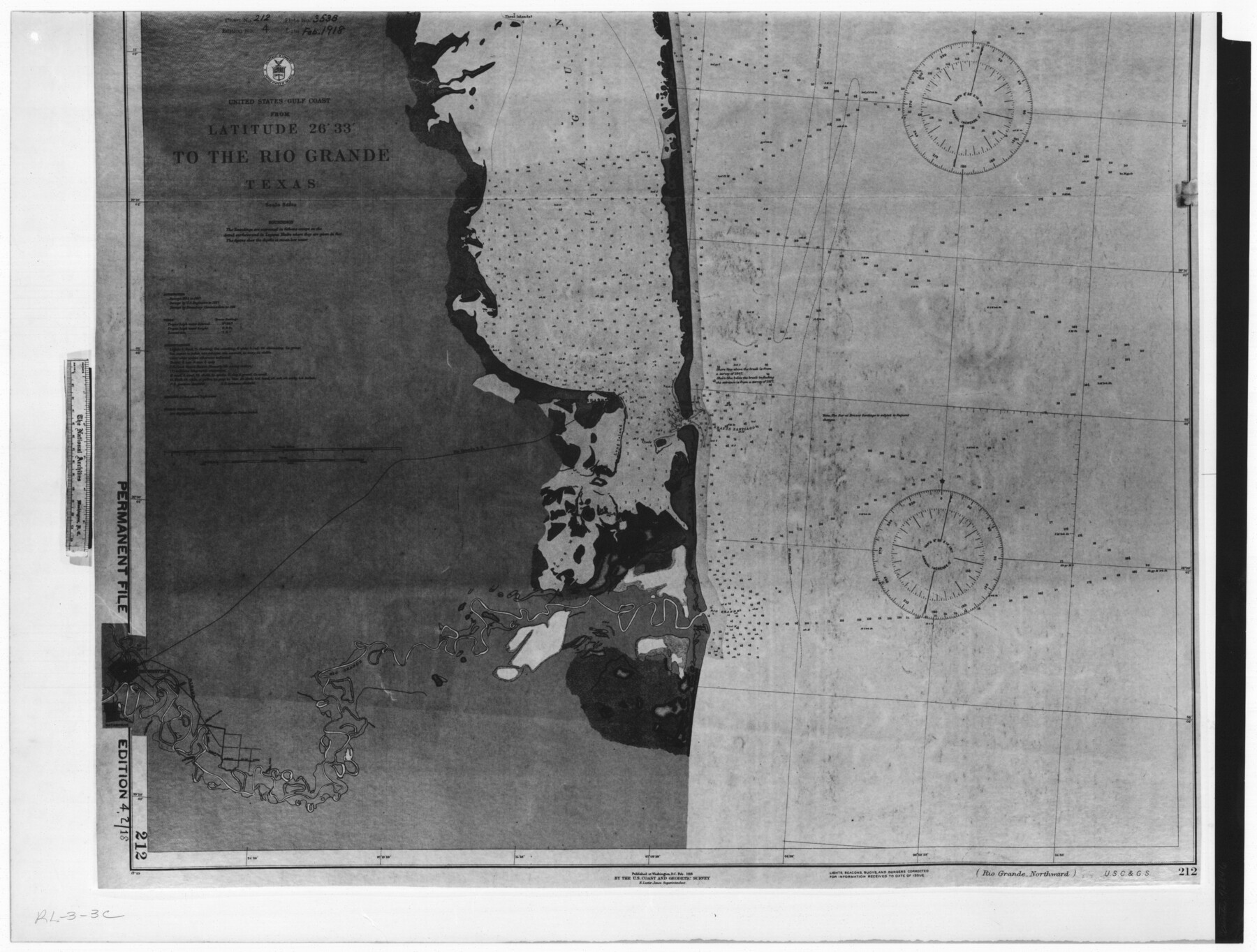
United States - Gulf Coast - From Latitude 26° 33' to the Rio Grande Texas
RL-3-3c
-
Map/Doc
72846
-
Collection
General Map Collection
-
Object Dates
1918 (Creation Date)
-
People and Organizations
U. S. Coastal and Geodetic Survey (Publisher)
-
Subjects
Nautical Charts
-
Height x Width
18.4 x 24.3 inches
46.7 x 61.7 cm
-
Comments
B/W photostat copy from National Archives in multiple pieces.
Part of: General Map Collection
Flight Mission No. BRA-16M, Frame 60, Jefferson County

Print $20.00
- Digital $50.00
Flight Mission No. BRA-16M, Frame 60, Jefferson County
1953
Size 18.6 x 22.3 inches
Map/Doc 85677
Harris County Sketch File AA3

Print $8.00
- Digital $50.00
Harris County Sketch File AA3
Size 8.2 x 8.5 inches
Map/Doc 25326
University Lands Blocks 1 to 11 Andrews-Martin-Gaines-Dawson-Winkler Counties

Print $6.00
- Digital $50.00
University Lands Blocks 1 to 11 Andrews-Martin-Gaines-Dawson-Winkler Counties
Size 30.9 x 35.3 inches
Map/Doc 62930
Harris County Rolled Sketch 88

Print $20.00
- Digital $50.00
Harris County Rolled Sketch 88
1934
Size 35.2 x 23.2 inches
Map/Doc 6120
Nueces County Rolled Sketch 103

Print $105.00
Nueces County Rolled Sketch 103
1985
Size 36.5 x 24.1 inches
Map/Doc 7078
Upton County Rolled Sketch 24

Print $20.00
- Digital $50.00
Upton County Rolled Sketch 24
1886
Size 17.3 x 43.5 inches
Map/Doc 10043
Edwards County Sketch File 30

Print $10.00
- Digital $50.00
Edwards County Sketch File 30
1920
Size 6.5 x 8.9 inches
Map/Doc 21757
Angelina County Working Sketch 39

Print $20.00
- Digital $50.00
Angelina County Working Sketch 39
1959
Size 25.6 x 30.0 inches
Map/Doc 67122

Coleman County Sketch File 30

Print $8.00
- Digital $50.00
Coleman County Sketch File 30
1875
Size 10.0 x 8.0 inches
Map/Doc 18720
Jasper County Rolled Sketch 8

Print $20.00
- Digital $50.00
Jasper County Rolled Sketch 8
Size 17.8 x 12.0 inches
Map/Doc 6358
Travis County State Real Property Sketch 10

Print $20.00
- Digital $50.00
Travis County State Real Property Sketch 10
2002
Size 35.5 x 25.2 inches
Map/Doc 83550
You may also like
Flight Mission No. DQN-2K, Frame 81, Calhoun County

Print $20.00
- Digital $50.00
Flight Mission No. DQN-2K, Frame 81, Calhoun County
1953
Size 18.7 x 22.3 inches
Map/Doc 84273
Southern Pacific Lines in Texas and Louisiana (G. H. & S. A. Ry.) Circuit Plan of Automatic Block Signals, Automatic Train Control and Flatonia Interlocking Plant No. 3

Print $40.00
- Digital $50.00
Southern Pacific Lines in Texas and Louisiana (G. H. & S. A. Ry.) Circuit Plan of Automatic Block Signals, Automatic Train Control and Flatonia Interlocking Plant No. 3
1927
Size 43.5 x 215.5 inches
Map/Doc 90044
Plan of the City of Austin

Print $20.00
Plan of the City of Austin
1839
Size 24.2 x 19.4 inches
Map/Doc 76204
Glasscock County Sketch File 17

Print $44.00
- Digital $50.00
Glasscock County Sketch File 17
1936
Size 11.4 x 8.8 inches
Map/Doc 24188
Hunt County Boundary File 11

Print $14.00
- Digital $50.00
Hunt County Boundary File 11
Size 11.3 x 8.9 inches
Map/Doc 55266
General Highway Map, Palo Pinto County, Texas

Print $20.00
General Highway Map, Palo Pinto County, Texas
1961
Size 18.3 x 24.4 inches
Map/Doc 79623
Flight Mission No. DCL-7C, Frame 16, Kenedy County

Print $20.00
- Digital $50.00
Flight Mission No. DCL-7C, Frame 16, Kenedy County
1943
Size 15.2 x 15.4 inches
Map/Doc 86008
Culberson County Working Sketch 3

Print $40.00
- Digital $50.00
Culberson County Working Sketch 3
Size 50.6 x 21.1 inches
Map/Doc 68455
Martin County Sketch File 12

Print $20.00
- Digital $50.00
Martin County Sketch File 12
1937
Size 22.9 x 19.5 inches
Map/Doc 12030
Sterling County Rolled Sketch 12

Print $20.00
- Digital $50.00
Sterling County Rolled Sketch 12
1941
Size 35.6 x 35.0 inches
Map/Doc 9946
Sterling County Rolled Sketch 22

Print $20.00
- Digital $50.00
Sterling County Rolled Sketch 22
Size 33.6 x 30.8 inches
Map/Doc 9953
Lampasas County Sketch File 9b

Print $40.00
- Digital $50.00
Lampasas County Sketch File 9b
1873
Size 7.6 x 20.1 inches
Map/Doc 29412