Archer County Working Sketch Graphic Index
-
Map/Doc
76456
-
Collection
General Map Collection
-
Object Dates
1/1926 (Creation Date)
-
Counties
Archer
-
Subjects
County Surveying Working Sketch
-
Height x Width
46.7 x 39.4 inches
118.6 x 100.1 cm
-
Scale
1" = 2000 varas
Part of: General Map Collection
Maverick County Sketch File 16

Print $20.00
- Digital $50.00
Maverick County Sketch File 16
1887
Size 14.1 x 34.5 inches
Map/Doc 12051
Nueces County Sketch File 42


Print $24.00
- Digital $50.00
Nueces County Sketch File 42
1950
Size 11.0 x 8.6 inches
Map/Doc 32633
Kerr County Sketch File 8

Print $4.00
- Digital $50.00
Kerr County Sketch File 8
1882
Size 12.6 x 8.1 inches
Map/Doc 28871
Wood County Working Sketch 17

Print $20.00
- Digital $50.00
Wood County Working Sketch 17
Size 24.0 x 31.3 inches
Map/Doc 62017
Pecos County Sketch File 27A


Print $20.00
- Digital $50.00
Pecos County Sketch File 27A
Size 26.7 x 19.8 inches
Map/Doc 12166
Leon County Working Sketch 8

Print $20.00
- Digital $50.00
Leon County Working Sketch 8
1931
Size 28.9 x 42.8 inches
Map/Doc 70407
Newton County Working Sketch 43


Print $20.00
- Digital $50.00
Newton County Working Sketch 43
1982
Size 20.7 x 28.6 inches
Map/Doc 71289
Caldwell County Working Sketch 4


Print $20.00
- Digital $50.00
Caldwell County Working Sketch 4
1922
Size 46.1 x 43.5 inches
Map/Doc 67834
Sutton County Sketch File 27a
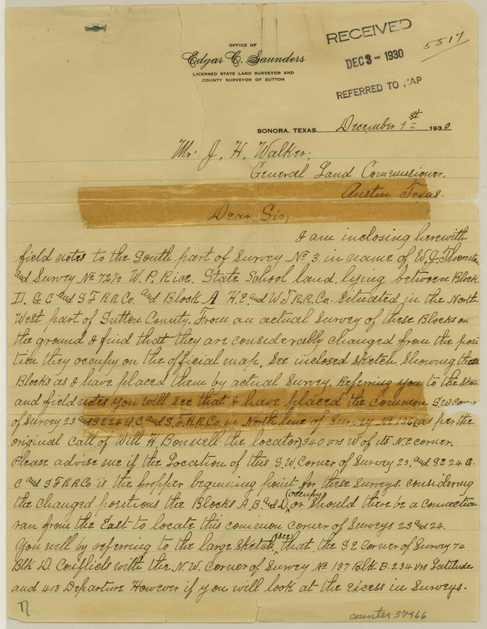

Print $6.00
- Digital $50.00
Sutton County Sketch File 27a
Size 11.3 x 8.8 inches
Map/Doc 37466
Montgomery County Working Sketch 37
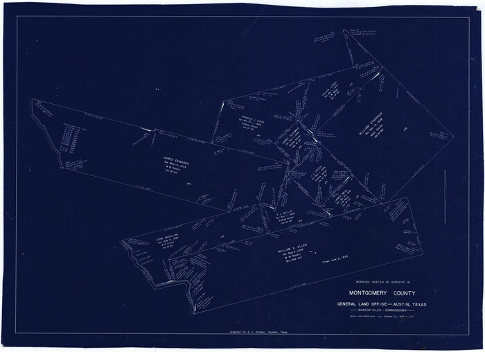

Print $20.00
- Digital $50.00
Montgomery County Working Sketch 37
1953
Size 24.5 x 33.8 inches
Map/Doc 71144
Schleicher County Working Sketch 10
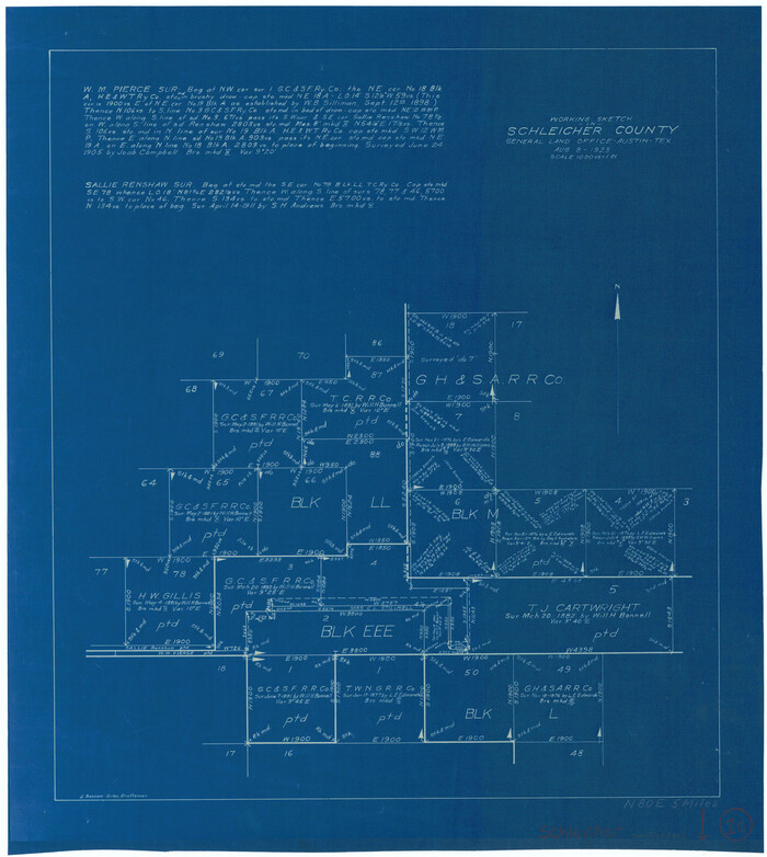

Print $20.00
- Digital $50.00
Schleicher County Working Sketch 10
1923
Size 18.3 x 16.4 inches
Map/Doc 63812
Van Zandt County Sketch File 2a


Print $42.00
- Digital $50.00
Van Zandt County Sketch File 2a
Size 12.2 x 12.0 inches
Map/Doc 39363
You may also like
Boundary Between the United States & Mexico Agreed upon by the Joint Commission under the Treaty of Guadalupe Hidalgo
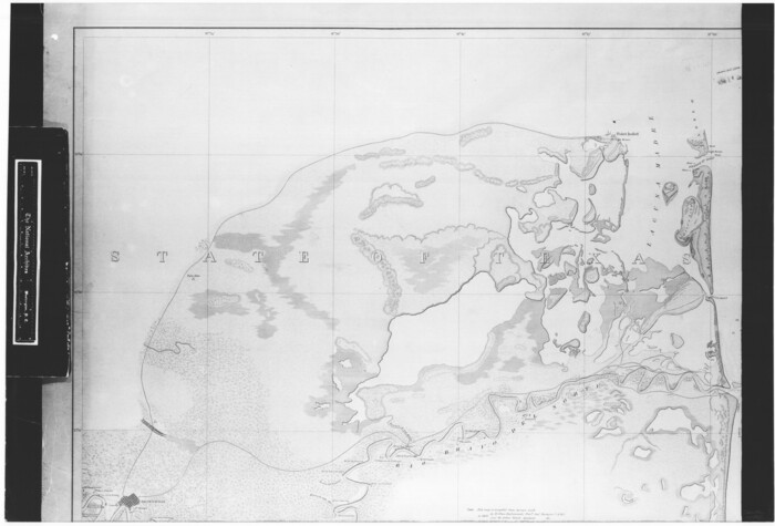

Print $4.00
- Digital $50.00
Boundary Between the United States & Mexico Agreed upon by the Joint Commission under the Treaty of Guadalupe Hidalgo
1853
Size 18.2 x 26.8 inches
Map/Doc 72882
Galveston County Aerial Photograph Index Sheet 1
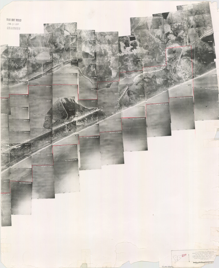

Print $20.00
- Digital $50.00
Galveston County Aerial Photograph Index Sheet 1
1953
Size 23.4 x 19.2 inches
Map/Doc 83692
Deaf Smith County Rolled Sketch 3


Print $20.00
- Digital $50.00
Deaf Smith County Rolled Sketch 3
Size 23.9 x 18.0 inches
Map/Doc 95707
[Map Showing Surveys in Dimmit & La Salle Counties, Texas]
![75791, [Map Showing Surveys in Dimmit & La Salle Counties, Texas], Maddox Collection](https://historictexasmaps.com/wmedia_w700/maps/75791.tif.jpg)
![75791, [Map Showing Surveys in Dimmit & La Salle Counties, Texas], Maddox Collection](https://historictexasmaps.com/wmedia_w700/maps/75791.tif.jpg)
Print $20.00
- Digital $50.00
[Map Showing Surveys in Dimmit & La Salle Counties, Texas]
Size 29.5 x 29.5 inches
Map/Doc 75791
El Paso County


Print $40.00
- Digital $50.00
El Paso County
1881
Size 53.7 x 88.3 inches
Map/Doc 16826
[Blocks A, RG, O, B and 11]
![92861, [Blocks A, RG, O, B and 11], Twichell Survey Records](https://historictexasmaps.com/wmedia_w700/maps/92861-1.tif.jpg)
![92861, [Blocks A, RG, O, B and 11], Twichell Survey Records](https://historictexasmaps.com/wmedia_w700/maps/92861-1.tif.jpg)
Print $20.00
- Digital $50.00
[Blocks A, RG, O, B and 11]
Size 21.0 x 18.1 inches
Map/Doc 92861
Maps & Lists Showing Prison Lands (Oil & Gas) Leased as of June 1955


Digital $50.00
Maps & Lists Showing Prison Lands (Oil & Gas) Leased as of June 1955
Size 11.4 x 7.1 inches
Map/Doc 62865
[Index map of T. & P. Ry. Company’s 80-mile Trans-Pecos Reserve’s perpetuated corners - North Part]
![89622, [Index map of T. & P. Ry. Company’s 80-mile Trans-Pecos Reserve’s perpetuated corners - North Part], General Map Collection](https://historictexasmaps.com/wmedia_w700/maps/89622-1.tif.jpg)
![89622, [Index map of T. & P. Ry. Company’s 80-mile Trans-Pecos Reserve’s perpetuated corners - North Part], General Map Collection](https://historictexasmaps.com/wmedia_w700/maps/89622-1.tif.jpg)
Print $40.00
- Digital $50.00
[Index map of T. & P. Ry. Company’s 80-mile Trans-Pecos Reserve’s perpetuated corners - North Part]
Size 25.4 x 92.1 inches
Map/Doc 89622
Hutchinson County Working Sketch 46
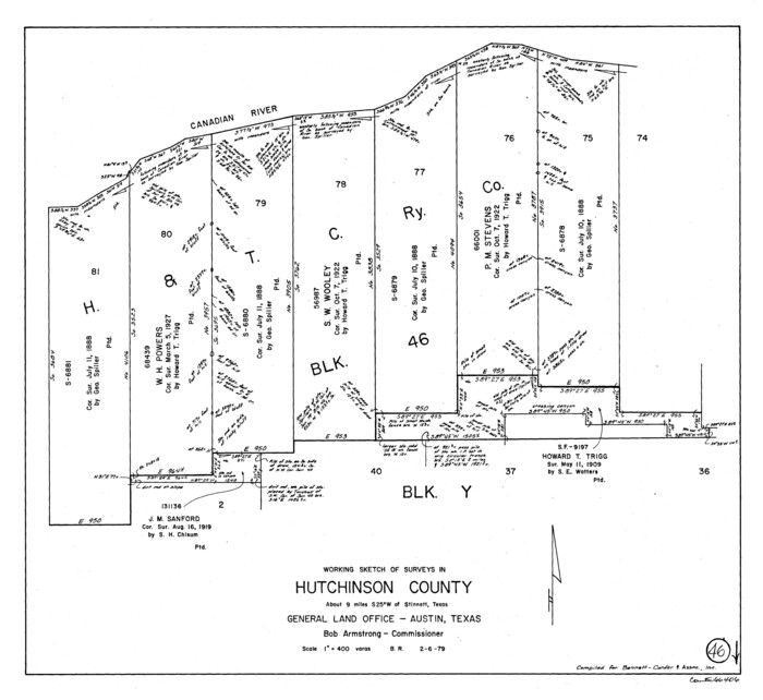

Print $20.00
- Digital $50.00
Hutchinson County Working Sketch 46
1979
Size 20.4 x 22.3 inches
Map/Doc 66406
Val Verde County Rolled Sketch 59


Print $20.00
- Digital $50.00
Val Verde County Rolled Sketch 59
1947
Size 45.2 x 23.6 inches
Map/Doc 10078
Glasscock County Sketch File 21
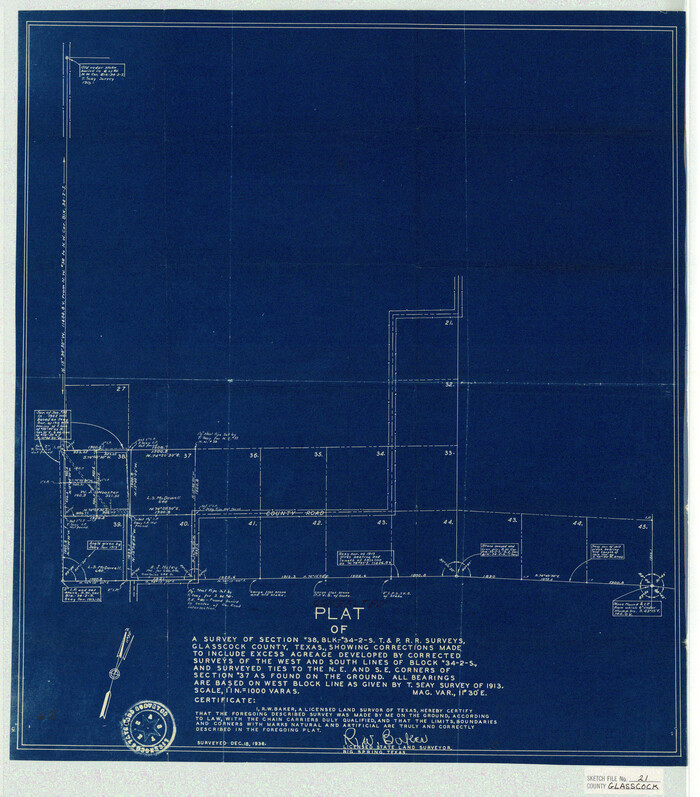

Print $20.00
- Digital $50.00
Glasscock County Sketch File 21
1936
Size 23.1 x 20.3 inches
Map/Doc 11564
Tech Memorial Park, Inc. Catholic Section
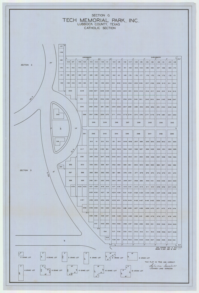

Print $20.00
- Digital $50.00
Tech Memorial Park, Inc. Catholic Section
Size 18.1 x 26.5 inches
Map/Doc 92348
