Val Verde County Rolled Sketch 59
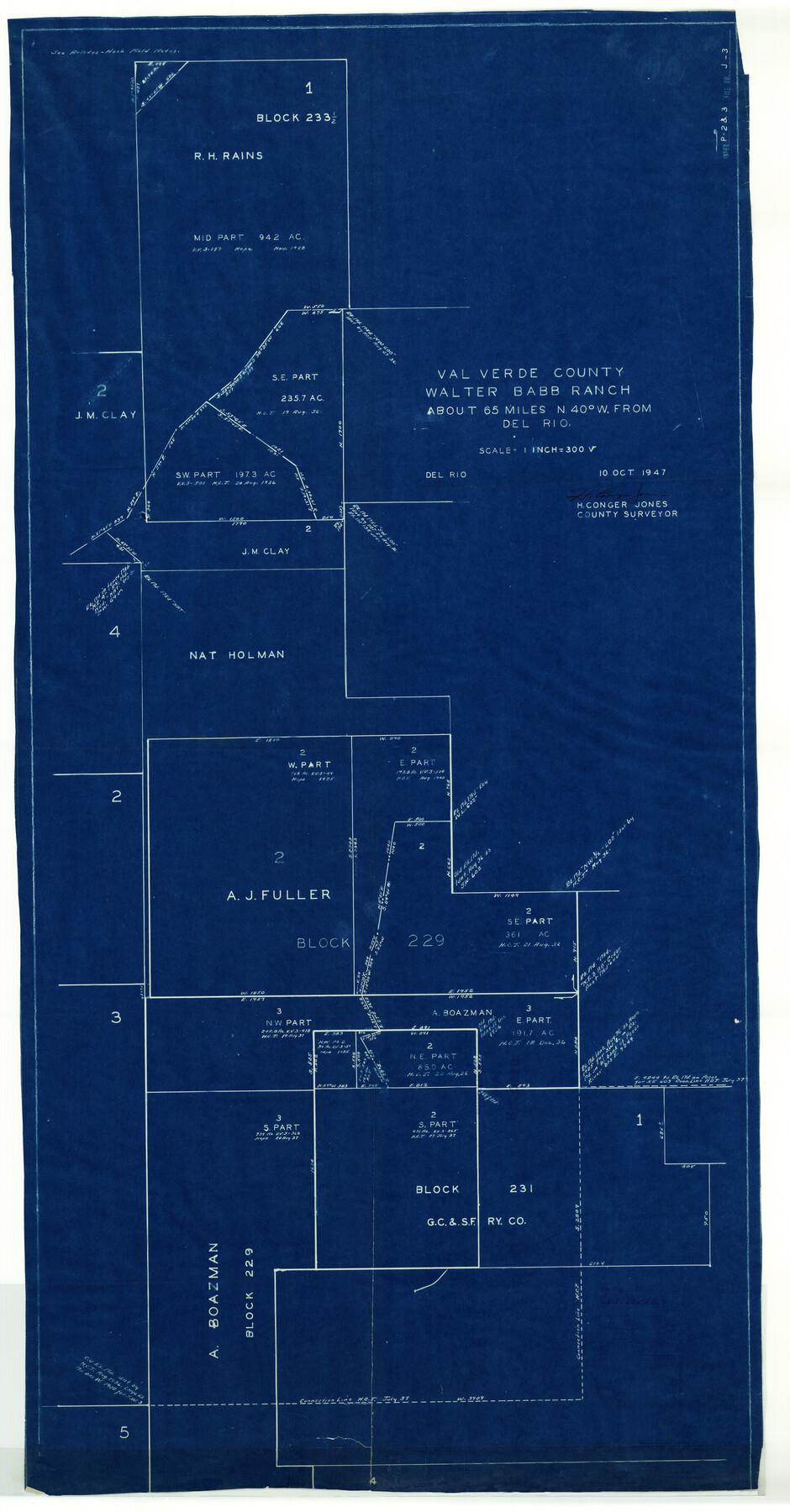
Val Verde County, Walter Babb Ranch
-
Map/Doc
10078
-
Collection
General Map Collection
-
Object Dates
1947/10/10 (Creation Date)
1947/11/12 (File Date)
-
People and Organizations
H. Conger Jones (Surveyor/Engineer)
-
Counties
Val Verde
-
Subjects
Surveying Rolled Sketch
-
Height x Width
45.2 x 23.6 inches
114.8 x 59.9 cm
-
Medium
blueprint/diazo
-
Scale
1" = 300 varas
Part of: General Map Collection
Burnet County Sketch File 32

Print $4.00
- Digital $50.00
Burnet County Sketch File 32
1894
Size 8.0 x 9.5 inches
Map/Doc 16750

Carte de la Louisiane cours du Mississipi et pais voisins dediée à M. le Comte de Maurepas, Ministre et Secretaire d'Etat Commandeur des Ordres du Roy

Print $20.00
- Digital $50.00
Carte de la Louisiane cours du Mississipi et pais voisins dediée à M. le Comte de Maurepas, Ministre et Secretaire d'Etat Commandeur des Ordres du Roy
1744
Size 17.5 x 23.3 inches
Map/Doc 94496
[Sketch for Mineral Application 24072, San Jacinto River]
![65596, [Sketch for Mineral Application 24072, San Jacinto River], General Map Collection](https://historictexasmaps.com/wmedia_w700/maps/65596.tif.jpg)
Print $20.00
- Digital $50.00
[Sketch for Mineral Application 24072, San Jacinto River]
1929
Size 24.5 x 18.5 inches
Map/Doc 65596
Galveston Entrance, Texas From a Trigonometrical Survey Under the direction of A.D. Bache Superintendent of the Survey of the Coast of the United States

Print $20.00
- Digital $50.00
Galveston Entrance, Texas From a Trigonometrical Survey Under the direction of A.D. Bache Superintendent of the Survey of the Coast of the United States
1853
Size 15.9 x 19.3 inches
Map/Doc 93998
Flight Mission No. DAG-26K, Frame 83, Matagorda County

Print $20.00
- Digital $50.00
Flight Mission No. DAG-26K, Frame 83, Matagorda County
1953
Size 18.6 x 19.6 inches
Map/Doc 86588
DeWitt County Working Sketch 2b

Print $20.00
- Digital $50.00
DeWitt County Working Sketch 2b
1940
Size 25.1 x 30.0 inches
Map/Doc 68647
Angelina County Working Sketch 15

Print $20.00
- Digital $50.00
Angelina County Working Sketch 15
1935
Size 34.0 x 38.4 inches
Map/Doc 67096
Cherokee County Sketch File 11

Print $4.00
- Digital $50.00
Cherokee County Sketch File 11
1852
Size 11.5 x 8.2 inches
Map/Doc 18138
Palo Pinto County Sketch File 20

Print $6.00
- Digital $50.00
Palo Pinto County Sketch File 20
1891
Size 12.5 x 10.9 inches
Map/Doc 33402
Crockett County Working Sketch 62

Print $40.00
- Digital $50.00
Crockett County Working Sketch 62
1956
Size 121.8 x 37.1 inches
Map/Doc 68395
Runnels County Boundary File 2a

Print $8.00
- Digital $50.00
Runnels County Boundary File 2a
Size 11.5 x 8.8 inches
Map/Doc 58526
You may also like
Flight Mission No. BQR-3K, Frame 156, Brazoria County

Print $20.00
- Digital $50.00
Flight Mission No. BQR-3K, Frame 156, Brazoria County
1952
Size 18.6 x 22.4 inches
Map/Doc 83983
Culberson County Working Sketch 59

Print $20.00
- Digital $50.00
Culberson County Working Sketch 59
1974
Size 46.4 x 37.7 inches
Map/Doc 68513
Throckmorton County Working Sketch Graphic Index

Print $20.00
- Digital $50.00
Throckmorton County Working Sketch Graphic Index
1943
Size 44.6 x 36.3 inches
Map/Doc 76713
Flight Mission No. DCL-7C, Frame 110, Kenedy County

Print $20.00
- Digital $50.00
Flight Mission No. DCL-7C, Frame 110, Kenedy County
1943
Size 18.5 x 22.3 inches
Map/Doc 86075
Map of Red River County

Print $20.00
- Digital $50.00
Map of Red River County
1842
Size 25.2 x 23.1 inches
Map/Doc 78369
Coast Chart No. 210 Aransas Pass and Corpus Christi Bay with the coast to latitude 27° 12' Texas

Print $20.00
- Digital $50.00
Coast Chart No. 210 Aransas Pass and Corpus Christi Bay with the coast to latitude 27° 12' Texas
1887
Size 27.3 x 18.3 inches
Map/Doc 72803

Flight Mission No. DAH-17M, Frame 21, Orange County

Print $20.00
- Digital $50.00
Flight Mission No. DAH-17M, Frame 21, Orange County
1953
Size 18.6 x 22.5 inches
Map/Doc 86884
Montgomery County

Print $20.00
- Digital $50.00
Montgomery County
1895
Size 21.6 x 24.8 inches
Map/Doc 3897
Hockley County Boundary File 4

Print $76.00
- Digital $50.00
Hockley County Boundary File 4
Size 14.3 x 8.7 inches
Map/Doc 54810
General Highway Map, Waller County, Texas

Print $20.00
General Highway Map, Waller County, Texas
1961
Size 24.9 x 18.2 inches
Map/Doc 79700
Leon County Working Sketch 58

Print $20.00
- Digital $50.00
Leon County Working Sketch 58
1986
Size 27.7 x 43.3 inches
Map/Doc 70458