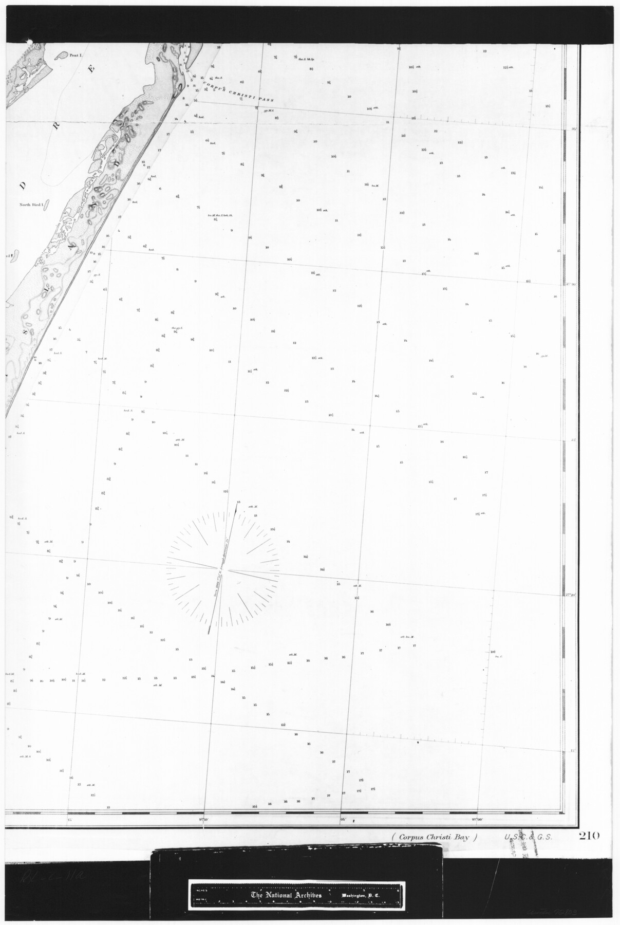
Coast Chart No. 210 Aransas Pass and Corpus Christi Bay with the coast to latitude 27° 12' Texas
RL-2-11a
-
Map/Doc
72803
-
Collection
General Map Collection
-
Object Dates
1887 (Creation Date)
-
People and Organizations
[U. S. Coast and Geodetic Survey] (Publisher)
-
Counties
Nueces
-
Subjects
Nautical Charts
-
Height x Width
27.3 x 18.3 inches
69.3 x 46.5 cm
-
Comments
B/W photostat copy from National Archives in multiple pieces.
Part of: General Map Collection
Starr County Rolled Sketch 29

Print $20.00
- Digital $50.00
Starr County Rolled Sketch 29
1857
Size 35.1 x 30.0 inches
Map/Doc 7812
Montague County Boundary File 2d

Print $4.00
- Digital $50.00
Montague County Boundary File 2d
Size 12.5 x 8.2 inches
Map/Doc 57432
Jefferson County Rolled Sketch 17

Print $40.00
- Digital $50.00
Jefferson County Rolled Sketch 17
1931
Size 18.7 x 72.6 inches
Map/Doc 9281

Aransas County Rolled Sketch 2

Print $40.00
- Digital $50.00
Aransas County Rolled Sketch 2
1950
Size 54.7 x 50.5 inches
Map/Doc 73612
Flight Mission No. BRA-9M, Frame 67, Jefferson County

Print $20.00
- Digital $50.00
Flight Mission No. BRA-9M, Frame 67, Jefferson County
1953
Size 18.7 x 22.4 inches
Map/Doc 85650

PSL Field Notes for Blocks 77 through 86 in Culberson County and Blocks 73 through 76 in Hudspeth County

PSL Field Notes for Blocks 77 through 86 in Culberson County and Blocks 73 through 76 in Hudspeth County
Map/Doc 81663
Map of the country adjacent to the left bank of the Rio Grande below Matamoros surveyed under instructions of Col. J.J. Abert, Corps. Top. Engrs.

Print $20.00
- Digital $50.00
Map of the country adjacent to the left bank of the Rio Grande below Matamoros surveyed under instructions of Col. J.J. Abert, Corps. Top. Engrs.
Size 27.0 x 20.9 inches
Map/Doc 95177
Stonewall County Sketch File 6

Print $10.00
- Digital $50.00
Stonewall County Sketch File 6
1891
Size 14.0 x 8.7 inches
Map/Doc 37208
St. Louis, Brownsville & Mexico Railway Location Map from Mile 120 to Rio Grande

Print $40.00
- Digital $50.00
St. Louis, Brownsville & Mexico Railway Location Map from Mile 120 to Rio Grande
1905
Size 20.2 x 61.4 inches
Map/Doc 64169
Walker County State Real Property Sketch 1

Print $20.00
- Digital $50.00
Walker County State Real Property Sketch 1
2003
Size 35.8 x 30.3 inches
Map/Doc 78585
You may also like
Coleman County Rolled Sketch 7

Print $20.00
- Digital $50.00
Coleman County Rolled Sketch 7
Size 19.3 x 14.3 inches
Map/Doc 5530
Flight Mission No. DQO-8K, Frame 8, Galveston County

Print $20.00
- Digital $50.00
Flight Mission No. DQO-8K, Frame 8, Galveston County
1952
Size 18.8 x 22.5 inches
Map/Doc 85131
Gaines County Working Sketch 13

Print $20.00
- Digital $50.00
Gaines County Working Sketch 13
1954
Size 36.8 x 39.4 inches
Map/Doc 69313
Flight Mission No. DAG-17K, Frame 135, Matagorda County

Print $20.00
- Digital $50.00
Flight Mission No. DAG-17K, Frame 135, Matagorda County
1952
Size 17.4 x 16.1 inches
Map/Doc 86352
Map of the Texas and Pacific Railway and Connections

Print $20.00
Map of the Texas and Pacific Railway and Connections
1897
Size 17.6 x 36.3 inches
Map/Doc 76299
Flight Mission No. BQY-14M, Frame 182, Harris County

Print $20.00
- Digital $50.00
Flight Mission No. BQY-14M, Frame 182, Harris County
1953
Size 18.5 x 22.4 inches
Map/Doc 85298
La Salle County Working Sketch 44

Print $40.00
- Digital $50.00
La Salle County Working Sketch 44
1980
Size 34.7 x 65.8 inches
Map/Doc 70345
Jeff Davis County Rolled Sketch 25

Print $20.00
- Digital $50.00
Jeff Davis County Rolled Sketch 25
1953
Size 22.6 x 32.1 inches
Map/Doc 6373
Pecos County Rolled Sketch 156

Print $40.00
- Digital $50.00
Pecos County Rolled Sketch 156
1938
Size 39.7 x 48.1 inches
Map/Doc 9738
Denton County Sketch File 29 1/2

Print $4.00
- Digital $50.00
Denton County Sketch File 29 1/2
Size 14.8 x 9.1 inches
Map/Doc 20758
Lynn County Sketch File 4

Print $12.00
- Digital $50.00
Lynn County Sketch File 4
1902
Size 12.8 x 8.2 inches
Map/Doc 30458
Navarro County Working Sketch 8

Print $20.00
- Digital $50.00
Navarro County Working Sketch 8
1955
Size 17.9 x 19.2 inches
Map/Doc 71238