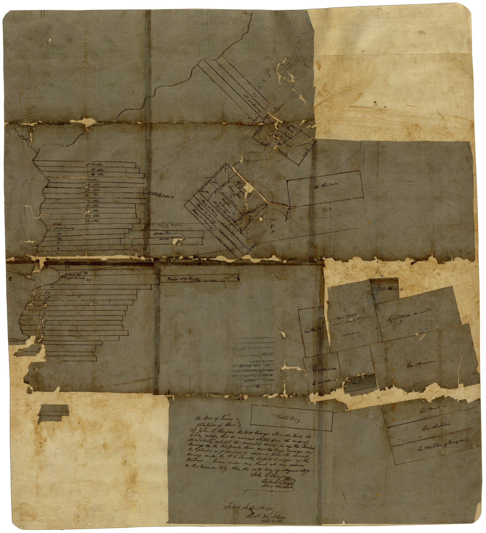
Starr County Rolled Sketch 29
[Sketch of Starr County]
-
Map/Doc
7812
-
Collection
General Map Collection
-
Object Dates
8/10/1857 (Creation Date)
9/15/1857 (File Date)
-
People and Organizations
John L. Haynes (Surveyor/Engineer)
-
Counties
Starr
-
Subjects
Surveying Rolled Sketch
-
Height x Width
35.1 x 30.0 inches
89.2 x 76.2 cm
-
Medium
paper, manuscript
Part of: General Map Collection
Flight Mission No. BRA-16M, Frame 49, Jefferson County

Print $20.00
- Digital $50.00
Flight Mission No. BRA-16M, Frame 49, Jefferson County
1953
Size 18.4 x 22.5 inches
Map/Doc 85666
Map of Jackson County Texas

Print $20.00
- Digital $50.00
Map of Jackson County Texas
1840
Size 29.6 x 23.2 inches
Map/Doc 3708
Vias de Comunicacion y Movimiento Maritimo

Print $20.00
- Digital $50.00
Vias de Comunicacion y Movimiento Maritimo
Size 26.1 x 34.2 inches
Map/Doc 96800
Jefferson Co.

Print $20.00
- Digital $50.00
Jefferson Co.
1978
Size 47.0 x 41.1 inches
Map/Doc 77329
Mitchell County Sketch File 16b

Print $20.00
- Digital $50.00
Mitchell County Sketch File 16b
Size 28.7 x 36.8 inches
Map/Doc 10545
Eastland County Working Sketch 16

Print $20.00
- Digital $50.00
Eastland County Working Sketch 16
1919
Size 19.1 x 16.7 inches
Map/Doc 68797
Rains County Working Sketch 4

Print $20.00
- Digital $50.00
Rains County Working Sketch 4
1919
Size 27.3 x 25.9 inches
Map/Doc 71830
Tyler County Sketch File 15

Print $6.00
- Digital $50.00
Tyler County Sketch File 15
1857
Size 10.4 x 7.5 inches
Map/Doc 38658
Cooke County Working Sketch 6

Print $20.00
- Digital $50.00
Cooke County Working Sketch 6
1935
Size 21.4 x 22.1 inches
Map/Doc 68243
Refugio County Boundary File 5

Print $4.00
- Digital $50.00
Refugio County Boundary File 5
Size 11.2 x 8.6 inches
Map/Doc 58256
Young County Rolled Sketch 14

Print $20.00
- Digital $50.00
Young County Rolled Sketch 14
1967
Size 17.7 x 22.7 inches
Map/Doc 8302
Wise County Rolled Sketch 3

Print $20.00
- Digital $50.00
Wise County Rolled Sketch 3
Size 36.4 x 45.0 inches
Map/Doc 10156
You may also like
General Highway Map, Burleson County, Texas

Print $20.00
General Highway Map, Burleson County, Texas
1940
Size 18.3 x 25.0 inches
Map/Doc 79032
Wichita County Sketch File 9

Print $4.00
- Digital $50.00
Wichita County Sketch File 9
1878
Size 12.8 x 8.2 inches
Map/Doc 40050
Leon County Working Sketch 47

Print $20.00
- Digital $50.00
Leon County Working Sketch 47
1980
Size 29.3 x 25.8 inches
Map/Doc 70446
Denton County Working Sketch 28

Print $20.00
- Digital $50.00
Denton County Working Sketch 28
1995
Size 36.1 x 22.9 inches
Map/Doc 68633
Upton County Sketch File 9

Print $30.00
- Digital $50.00
Upton County Sketch File 9
1913
Size 9.3 x 5.9 inches
Map/Doc 38824

Crockett County Rolled Sketch 88K

Print $40.00
- Digital $50.00
Crockett County Rolled Sketch 88K
1973
Size 43.0 x 57.4 inches
Map/Doc 8735
Burleson County Working Sketch 19

Print $20.00
- Digital $50.00
Burleson County Working Sketch 19
1980
Size 13.5 x 15.1 inches
Map/Doc 67738
T. C. Ivey Ranch Block D

Print $20.00
- Digital $50.00
T. C. Ivey Ranch Block D
Size 17.5 x 14.8 inches
Map/Doc 92846
The Republic County of Matagorda. December 29, 1845

Print $20.00
The Republic County of Matagorda. December 29, 1845
2020
Size 21.0 x 21.7 inches
Map/Doc 96224
Live Oak County Boundary File 60c

Print $4.00
- Digital $50.00
Live Oak County Boundary File 60c
Size 14.0 x 8.7 inches
Map/Doc 56421
[H. & T. C. RR. Company, Block 47, Sections 47- 52]
![91411, [H. & T. C. RR. Company, Block 47, Sections 47- 52], Twichell Survey Records](https://historictexasmaps.com/wmedia_w700/maps/91411-1.tif.jpg)
Print $2.00
- Digital $50.00
[H. & T. C. RR. Company, Block 47, Sections 47- 52]
Size 8.6 x 11.1 inches
Map/Doc 91411