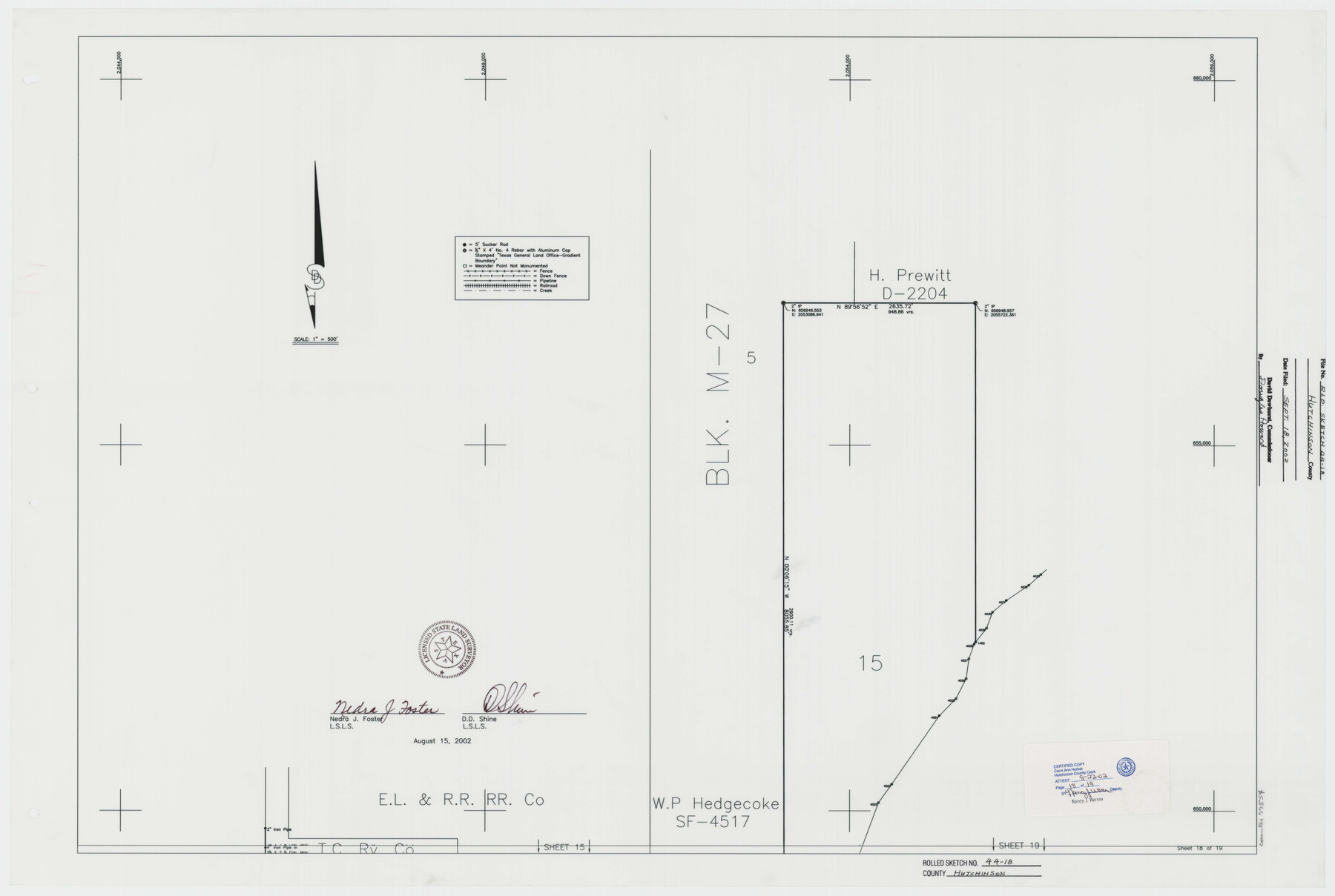
Hutchinson County Rolled Sketch 44-18
Canadian River Survey, Hutchinson County, Texas [Sheet 18 of 19]
-
Map/Doc
77554
-
Collection
General Map Collection
-
Object Dates
2002/8/15 (Creation Date)
2002/9/18 (File Date)
-
People and Organizations
Nedra J. Foster (Surveyor/Engineer)
D.D. Shine (Surveyor/Engineer)
-
Counties
Hutchinson
-
Subjects
Surveying Rolled Sketch
-
Height x Width
24.0 x 36.0 inches
61.0 x 91.4 cm
-
Medium
mylar, print
-
Scale
1" = 500 feet
Part of: General Map Collection
Marion County Working Sketch 35

Print $20.00
- Digital $50.00
Marion County Working Sketch 35
1985
Size 27.3 x 28.2 inches
Map/Doc 70811
Jeff Davis County Sketch File 47

Print $4.00
- Digital $50.00
Jeff Davis County Sketch File 47
1996
Size 4.3 x 9.7 inches
Map/Doc 28084
Knox County Rolled Sketch 16

Print $20.00
- Digital $50.00
Knox County Rolled Sketch 16
1892
Size 29.8 x 32.4 inches
Map/Doc 76029
Presidio County Working Sketch 93

Print $20.00
- Digital $50.00
Presidio County Working Sketch 93
1976
Size 27.7 x 27.3 inches
Map/Doc 71770
Flight Mission No. CGI-2N, Frame 185, Cameron County

Print $20.00
- Digital $50.00
Flight Mission No. CGI-2N, Frame 185, Cameron County
1954
Size 18.5 x 22.2 inches
Map/Doc 84545
Pecos County Rolled Sketch 39

Print $20.00
- Digital $50.00
Pecos County Rolled Sketch 39
1908
Size 21.8 x 33.2 inches
Map/Doc 7217
Comal County Sketch File 10

Print $4.00
- Digital $50.00
Comal County Sketch File 10
1849
Size 12.7 x 7.6 inches
Map/Doc 19020
Amistad International Reservoir on Rio Grande 98

Print $20.00
- Digital $50.00
Amistad International Reservoir on Rio Grande 98
1950
Size 28.5 x 40.9 inches
Map/Doc 75529
Grayson County Sketch File 3

Print $4.00
- Digital $50.00
Grayson County Sketch File 3
1855
Size 12.4 x 8.4 inches
Map/Doc 24460
Polk County Sketch File 12a

Print $4.00
- Digital $50.00
Polk County Sketch File 12a
Size 6.1 x 6.4 inches
Map/Doc 34148
Victoria County Working Sketch Graphic Index

Print $20.00
- Digital $50.00
Victoria County Working Sketch Graphic Index
1921
Size 47.0 x 39.0 inches
Map/Doc 76728
Harbor Pass and Bar at Brazos Santiago, Texas

Print $20.00
- Digital $50.00
Harbor Pass and Bar at Brazos Santiago, Texas
1871
Size 18.2 x 26.3 inches
Map/Doc 72985
You may also like
Montgomery County Rolled Sketch 10

Print $20.00
- Digital $50.00
Montgomery County Rolled Sketch 10
1905
Size 35.5 x 26.2 inches
Map/Doc 6796
Pecos County Rolled Sketch 160

Print $20.00
- Digital $50.00
Pecos County Rolled Sketch 160
Size 43.0 x 36.9 inches
Map/Doc 9739

McCulloch County Working Sketch 2

Print $20.00
- Digital $50.00
McCulloch County Working Sketch 2
1947
Size 23.9 x 29.6 inches
Map/Doc 70677
Williamson County Working Sketch 14

Print $20.00
- Digital $50.00
Williamson County Working Sketch 14
1982
Size 22.0 x 28.3 inches
Map/Doc 72574
PSL Field Notes for Blocks B14 and B16 in Crane and Ector Counties, Blocks B18 and B20 in Crane and Ward Counties, and Blocks B17, B21, B22, B23, B24, B25, and B26 in Crane County

PSL Field Notes for Blocks B14 and B16 in Crane and Ector Counties, Blocks B18 and B20 in Crane and Ward Counties, and Blocks B17, B21, B22, B23, B24, B25, and B26 in Crane County
Map/Doc 81646
Aransas County Boundary File 3

Print $16.00
- Digital $50.00
Aransas County Boundary File 3
Size 10.6 x 8.0 inches
Map/Doc 49782
Flight Mission No. BRA-7M, Frame 197, Jefferson County

Print $20.00
- Digital $50.00
Flight Mission No. BRA-7M, Frame 197, Jefferson County
1953
Size 18.6 x 22.4 inches
Map/Doc 85565
Scurry County Rolled Sketch 1

Print $40.00
- Digital $50.00
Scurry County Rolled Sketch 1
Size 70.5 x 44.9 inches
Map/Doc 9910
Leon County Working Sketch 11

Print $20.00
- Digital $50.00
Leon County Working Sketch 11
1952
Size 21.1 x 35.0 inches
Map/Doc 70410
Trinity River, McKinney Sheet/East Fork of Trinity River

Print $20.00
- Digital $50.00
Trinity River, McKinney Sheet/East Fork of Trinity River
1931
Size 40.6 x 28.0 inches
Map/Doc 65241
Montgomery County Working Sketch 21

Print $20.00
- Digital $50.00
Montgomery County Working Sketch 21
1936
Size 16.4 x 37.0 inches
Map/Doc 71128