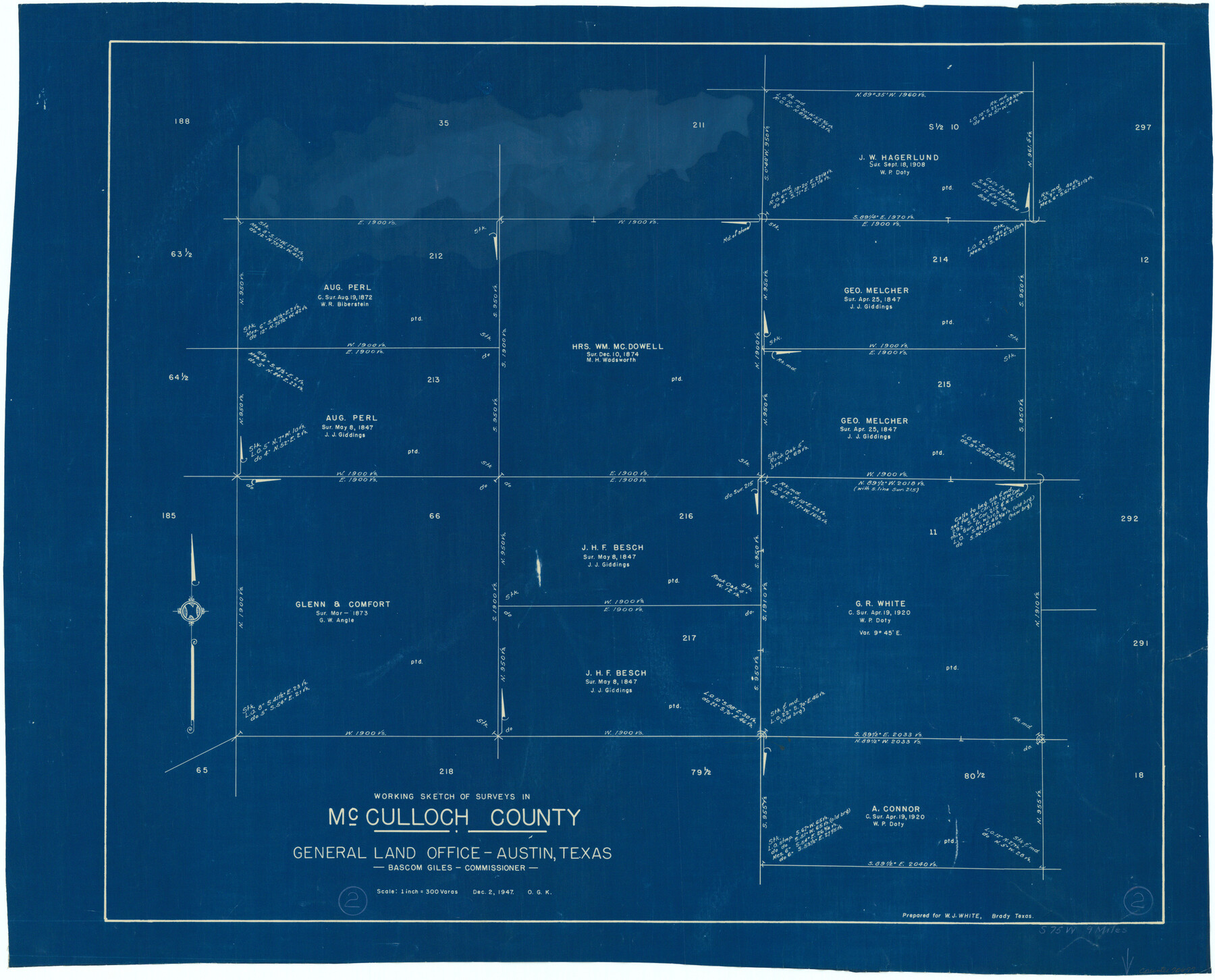
McCulloch County Working Sketch 2
-
Map/Doc
70677
-
Collection
General Map Collection
-
Object Dates
12/2/1947 (Creation Date)
-
People and Organizations
Otto G. Kurio (Draftsman)
-
Counties
McCulloch
-
Subjects
Surveying Working Sketch
-
Height x Width
23.9 x 29.6 inches
60.7 x 75.2 cm
-
Scale
1" = 300 varas
Part of: General Map Collection
Robertson County Working Sketch 14

Print $40.00
- Digital $50.00
Robertson County Working Sketch 14
1988
Size 48.6 x 39.6 inches
Map/Doc 63587
Foard County Working Sketch 7

Print $20.00
- Digital $50.00
Foard County Working Sketch 7
1953
Size 26.0 x 32.7 inches
Map/Doc 69198
Flight Mission No. DQN-2K, Frame 4, Calhoun County

Print $20.00
- Digital $50.00
Flight Mission No. DQN-2K, Frame 4, Calhoun County
1953
Size 18.4 x 22.2 inches
Map/Doc 84221
Cass County Working Sketch 50

Print $20.00
- Digital $50.00
Cass County Working Sketch 50
Size 42.6 x 37.7 inches
Map/Doc 67953
Flight Mission No. DQO-3K, Frame 24, Galveston County

Print $20.00
- Digital $50.00
Flight Mission No. DQO-3K, Frame 24, Galveston County
1952
Size 18.7 x 22.4 inches
Map/Doc 85065
Presidio County Rolled Sketch 98

Print $20.00
- Digital $50.00
Presidio County Rolled Sketch 98
Size 22.5 x 24.5 inches
Map/Doc 7381
Supplemental Plat, T. 4S., R. 14W., Indian Meridian, Oklahoma

Print $4.00
- Digital $50.00
Supplemental Plat, T. 4S., R. 14W., Indian Meridian, Oklahoma
1926
Size 18.1 x 23.6 inches
Map/Doc 75149
Callahan County Working Sketch 1

Print $20.00
- Digital $50.00
Callahan County Working Sketch 1
1939
Size 30.6 x 32.6 inches
Map/Doc 67883

Pecos County Rolled Sketch 183

Print $20.00
- Digital $50.00
Pecos County Rolled Sketch 183
1982
Size 39.6 x 27.5 inches
Map/Doc 7302
Coleman County Sketch File 25

Print $40.00
- Digital $50.00
Coleman County Sketch File 25
1872
Size 12.5 x 15.8 inches
Map/Doc 18710
Brazoria County Sketch File 21

Print $4.00
- Digital $50.00
Brazoria County Sketch File 21
Size 8.3 x 7.5 inches
Map/Doc 15016
You may also like
Map of Grimes County, Texas

Print $20.00
- Digital $50.00
Map of Grimes County, Texas
1880
Size 29.5 x 15.6 inches
Map/Doc 432
Brewster County Working Sketch 32

Print $20.00
- Digital $50.00
Brewster County Working Sketch 32
1943
Size 28.3 x 28.3 inches
Map/Doc 67566
Maverick County Working Sketch 2

Print $20.00
- Digital $50.00
Maverick County Working Sketch 2
1922
Size 46.2 x 38.5 inches
Map/Doc 70894
Duval County Rolled Sketch 26

Print $20.00
- Digital $50.00
Duval County Rolled Sketch 26
1945
Size 21.2 x 20.0 inches
Map/Doc 5744
Cooke County Sketch File 23

Print $4.00
- Digital $50.00
Cooke County Sketch File 23
1870
Size 12.7 x 8.0 inches
Map/Doc 19270
Flight Mission No. CRC-5R, Frame 19, Chambers County

Print $20.00
- Digital $50.00
Flight Mission No. CRC-5R, Frame 19, Chambers County
1956
Size 18.8 x 22.4 inches
Map/Doc 84941
Dimmit County Sketch File 57

Print $6.00
- Digital $50.00
Dimmit County Sketch File 57
1941
Size 14.3 x 8.8 inches
Map/Doc 21190
Mileage Map of the Best Roads of Texas showing paved roads, road distances

Print $20.00
- Digital $50.00
Mileage Map of the Best Roads of Texas showing paved roads, road distances
1900
Size 21.7 x 28.7 inches
Map/Doc 95894
Flight Mission No. CRC-2R, Frame 193, Chambers County

Print $20.00
- Digital $50.00
Flight Mission No. CRC-2R, Frame 193, Chambers County
1956
Size 18.9 x 22.5 inches
Map/Doc 84771
Palo Pinto County Sketch File 1

Print $20.00
- Digital $50.00
Palo Pinto County Sketch File 1
Size 18.8 x 23.5 inches
Map/Doc 12131
Culberson County Sketch File 8

Print $40.00
- Digital $50.00
Culberson County Sketch File 8
1904
Size 13.2 x 14.6 inches
Map/Doc 20142
United States - Gulf Coast - Padre I. and Laguna Madre Lat. 27° 12' to Lat. 26° 33' Texas

Print $20.00
- Digital $50.00
United States - Gulf Coast - Padre I. and Laguna Madre Lat. 27° 12' to Lat. 26° 33' Texas
1913
Size 26.8 x 18.2 inches
Map/Doc 72815