[Copy from Harris County map]
Atlas F, Page 2, Sketch 9 (F-2-9)
F-2-9
-
Map/Doc
78371
-
Collection
General Map Collection
-
Counties
Harris
-
Subjects
Atlas
-
Height x Width
7.4 x 3.9 inches
18.8 x 9.9 cm
-
Medium
paper, manuscript
-
Comments
Conserved in 2004.
-
Features
Spring Creek
Cypress Creek
San Jacinto River
Part of: General Map Collection
Current Miscellaneous File 3

Print $34.00
- Digital $50.00
Current Miscellaneous File 3
1947
Size 9.0 x 6.2 inches
Map/Doc 73706
[Map of Jackson County]
![78359, [Map of Jackson County], General Map Collection](https://historictexasmaps.com/wmedia_w700/maps/78359.tif.jpg)
![78359, [Map of Jackson County], General Map Collection](https://historictexasmaps.com/wmedia_w700/maps/78359.tif.jpg)
Print $20.00
- Digital $50.00
[Map of Jackson County]
1836
Size 32.8 x 21.1 inches
Map/Doc 78359
Sutton County Working Sketch 66


Print $20.00
- Digital $50.00
Sutton County Working Sketch 66
1972
Size 29.0 x 39.3 inches
Map/Doc 62409
Crockett County Rolled Sketch 71


Print $40.00
- Digital $50.00
Crockett County Rolled Sketch 71
1949
Size 54.5 x 38.9 inches
Map/Doc 8722
DeWitt County Working Sketch 2a

Print $20.00
- Digital $50.00
DeWitt County Working Sketch 2a
1940
Size 25.2 x 29.8 inches
Map/Doc 68592
Archer County Working Sketch 3

Print $20.00
- Digital $50.00
Archer County Working Sketch 3
1913
Size 19.8 x 12.3 inches
Map/Doc 67143
Bee County Sketch File X1
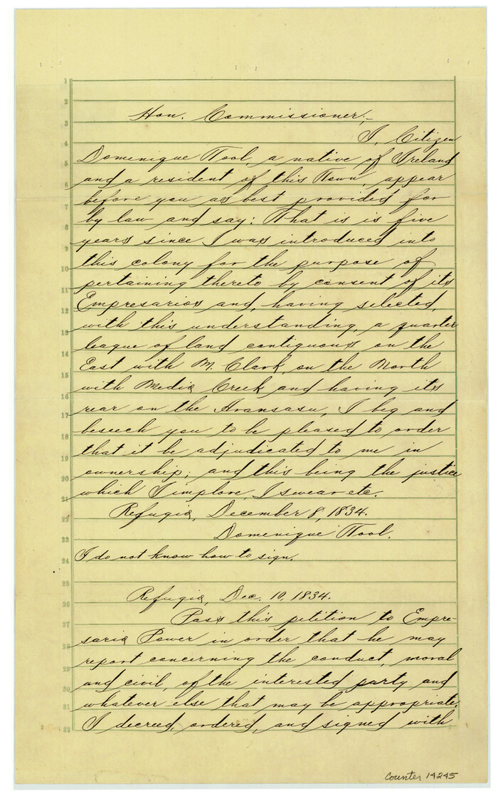

Print $20.00
- Digital $50.00
Bee County Sketch File X1
1834
Size 14.2 x 8.9 inches
Map/Doc 14245
Sabine River, Dixon Sheet/Cowleach Fork of the Sabine River
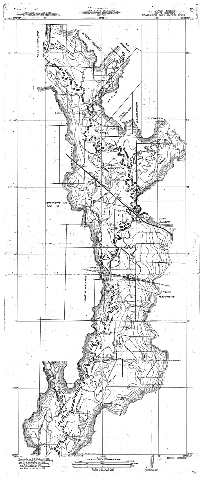

Print $20.00
- Digital $50.00
Sabine River, Dixon Sheet/Cowleach Fork of the Sabine River
1935
Size 44.0 x 18.5 inches
Map/Doc 65145
Kleberg County Rolled Sketch 10-34


Print $20.00
- Digital $50.00
Kleberg County Rolled Sketch 10-34
1952
Size 38.2 x 32.3 inches
Map/Doc 9384
University Land Field Notes for Blocks 34 through 37 in Terrell County


University Land Field Notes for Blocks 34 through 37 in Terrell County
Map/Doc 81720
You may also like
Kimble County Rolled Sketch 19


Print $20.00
- Digital $50.00
Kimble County Rolled Sketch 19
Size 38.8 x 33.6 inches
Map/Doc 9339
Crockett County Sketch File 83
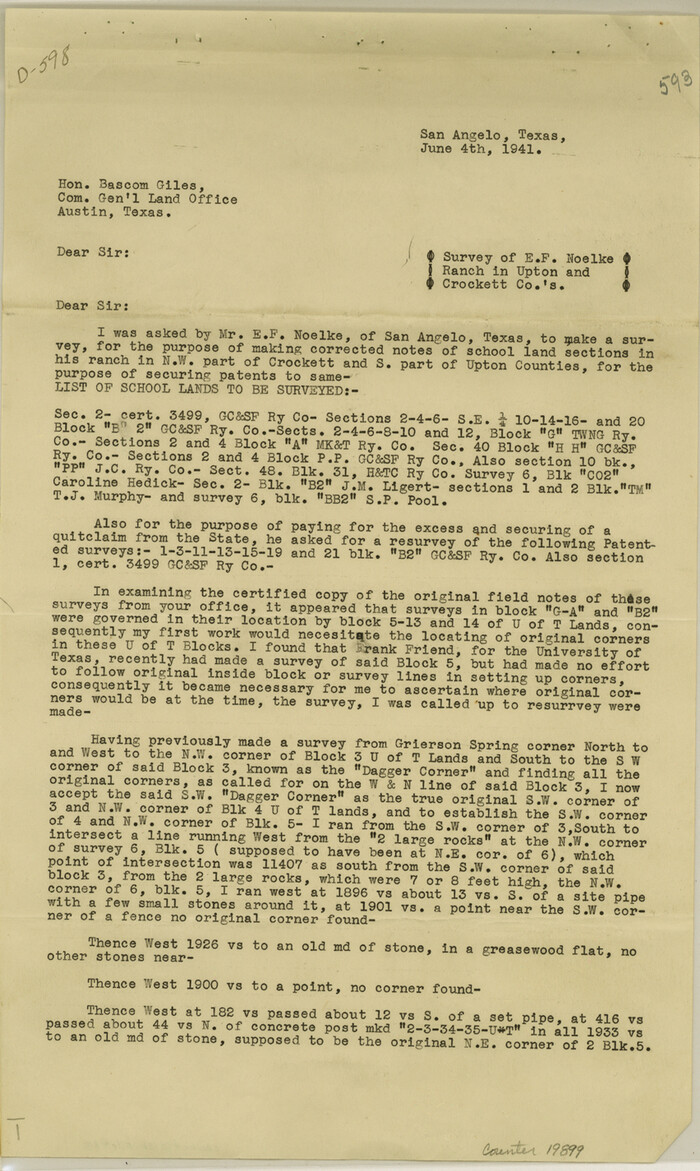

Print $12.00
- Digital $50.00
Crockett County Sketch File 83
1941
Size 14.2 x 8.5 inches
Map/Doc 19899
English Field Notes of the Spanish Archives - Book 7


English Field Notes of the Spanish Archives - Book 7
1835
Map/Doc 96533
Upshur County Working Sketch 7
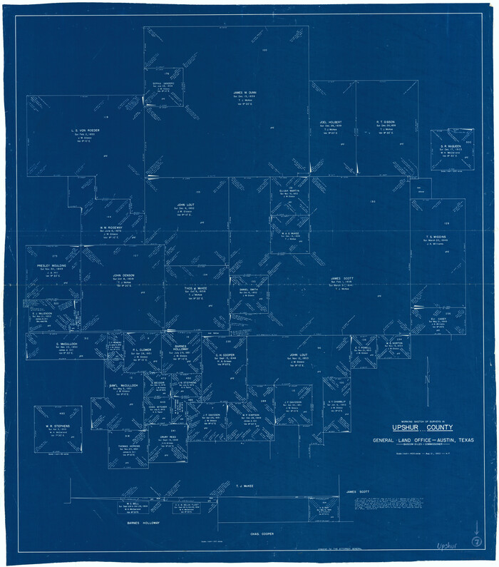

Print $40.00
- Digital $50.00
Upshur County Working Sketch 7
1953
Size 49.0 x 43.1 inches
Map/Doc 69563
Flight Mission No. BRA-16M, Frame 145, Jefferson County
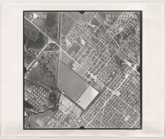

Print $20.00
- Digital $50.00
Flight Mission No. BRA-16M, Frame 145, Jefferson County
1953
Size 18.7 x 22.3 inches
Map/Doc 85751
Lynn County Sketch File 19
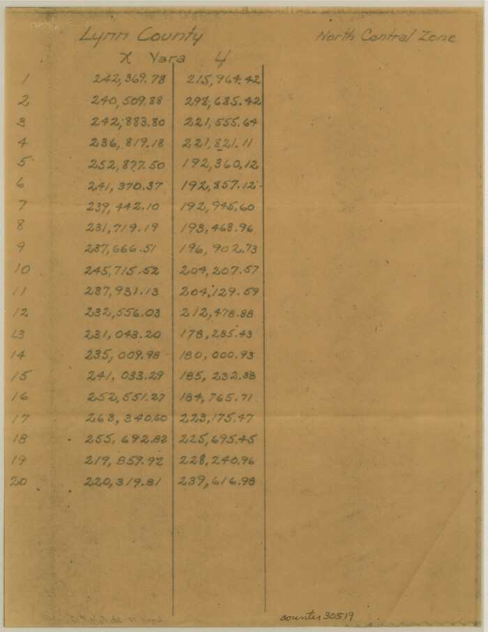

Print $36.00
- Digital $50.00
Lynn County Sketch File 19
Size 11.2 x 8.7 inches
Map/Doc 30519
Dépt. des Basses-Alpes
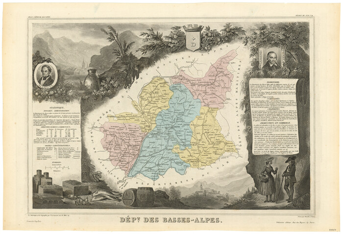

Print $20.00
- Digital $50.00
Dépt. des Basses-Alpes
Size 13.9 x 20.3 inches
Map/Doc 94450
Sterling County Rolled Sketch 17
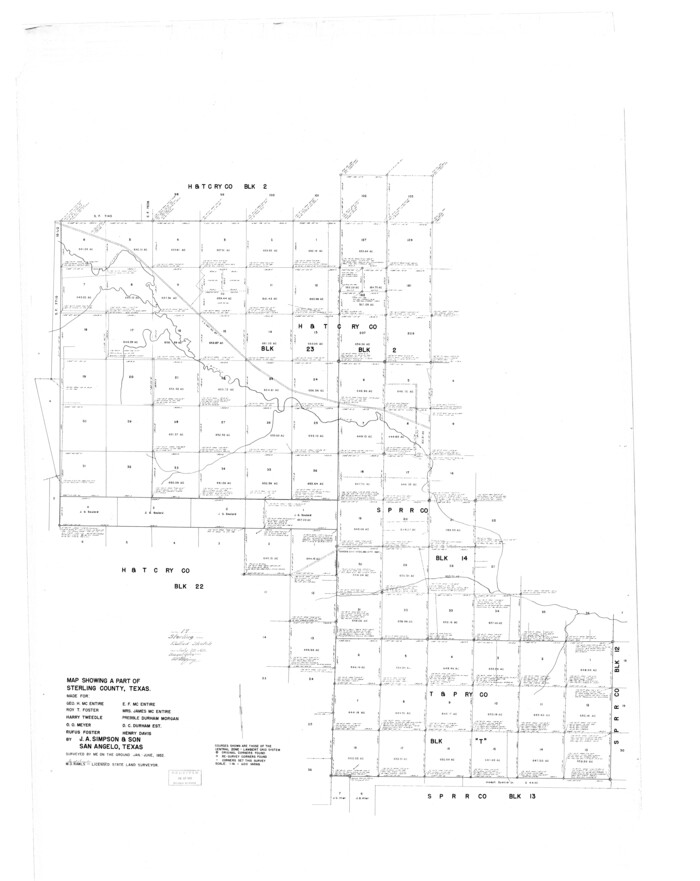

Print $40.00
- Digital $50.00
Sterling County Rolled Sketch 17
Size 61.0 x 48.4 inches
Map/Doc 9949
Baylor County Sketch File A7


Print $6.00
- Digital $50.00
Baylor County Sketch File A7
1899
Size 9.1 x 14.6 inches
Map/Doc 14091
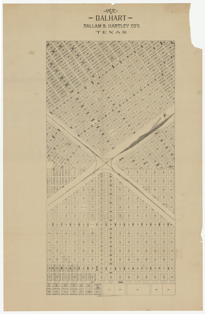
Map of Dalhart, Dallam & Hartley Co's, Texas

Print $20.00
- Digital $50.00
Map of Dalhart, Dallam & Hartley Co's, Texas
Size 22.7 x 35.2 inches
Map/Doc 92125
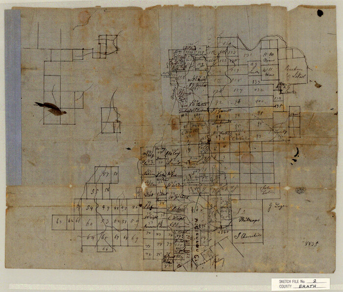
Erath County Sketch File 2

Print $20.00
- Digital $50.00
Erath County Sketch File 2
Size 13.2 x 15.5 inches
Map/Doc 11463
![78371, [Copy from Harris County map], General Map Collection](https://historictexasmaps.com/wmedia_w1800h1800/maps/78371.tif.jpg)

