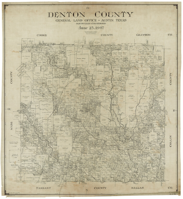
Surveys on the lines [?] of Plum Creek
-
Map/Doc
78384
-
Collection
General Map Collection
-
Counties
Hays Caldwell
-
Subjects
Atlas
-
Height x Width
10.5 x 8.4 inches
26.7 x 21.3 cm
-
Medium
paper, manuscript
-
Comments
Conserved in 2003.
Part of: General Map Collection
Duval County Sketch File 58
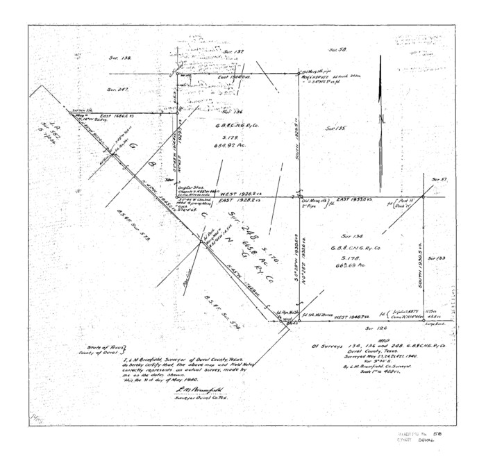

Print $20.00
- Digital $50.00
Duval County Sketch File 58
1940
Size 18.3 x 19.0 inches
Map/Doc 11406
Crosby County Working Sketch 12


Print $20.00
- Digital $50.00
Crosby County Working Sketch 12
1953
Size 26.0 x 29.8 inches
Map/Doc 68446
Chambers County Sketch File 35a
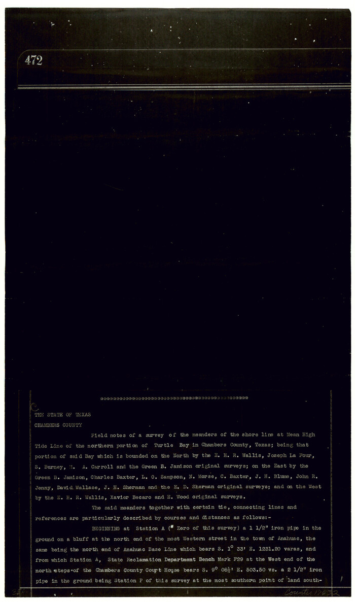

Print $31.00
- Digital $50.00
Chambers County Sketch File 35a
1935
Size 15.4 x 9.1 inches
Map/Doc 17632
Coleman County Working Sketch 22
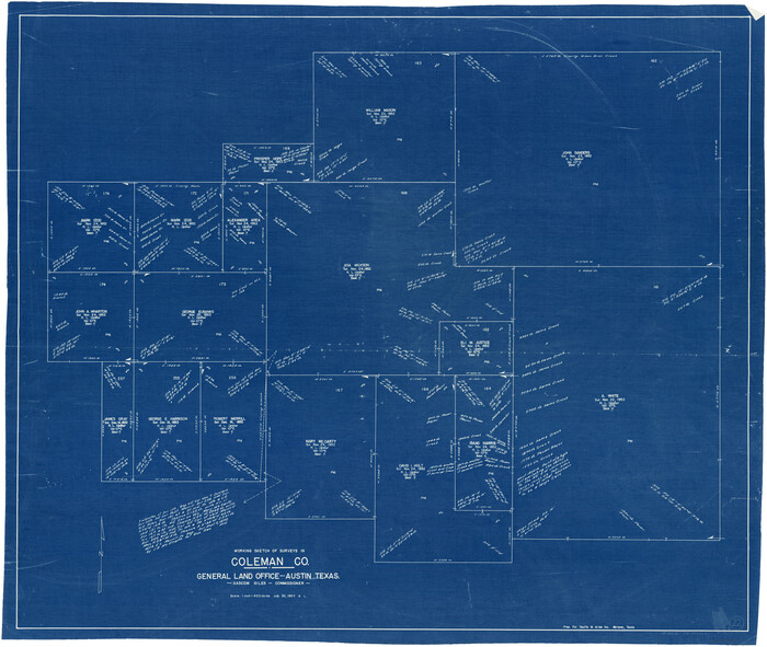

Print $20.00
- Digital $50.00
Coleman County Working Sketch 22
1953
Size 34.6 x 41.0 inches
Map/Doc 68088
Flight Mission No. DAG-24K, Frame 129, Matagorda County
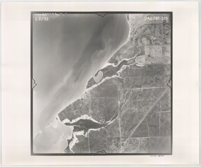

Print $20.00
- Digital $50.00
Flight Mission No. DAG-24K, Frame 129, Matagorda County
1953
Size 18.5 x 22.2 inches
Map/Doc 86547
El Paso County Rolled Sketch WL
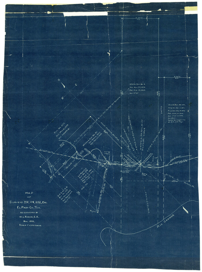

Print $20.00
- Digital $50.00
El Paso County Rolled Sketch WL
1922
Size 26.9 x 19.1 inches
Map/Doc 5860
Kendall County Sketch File 25
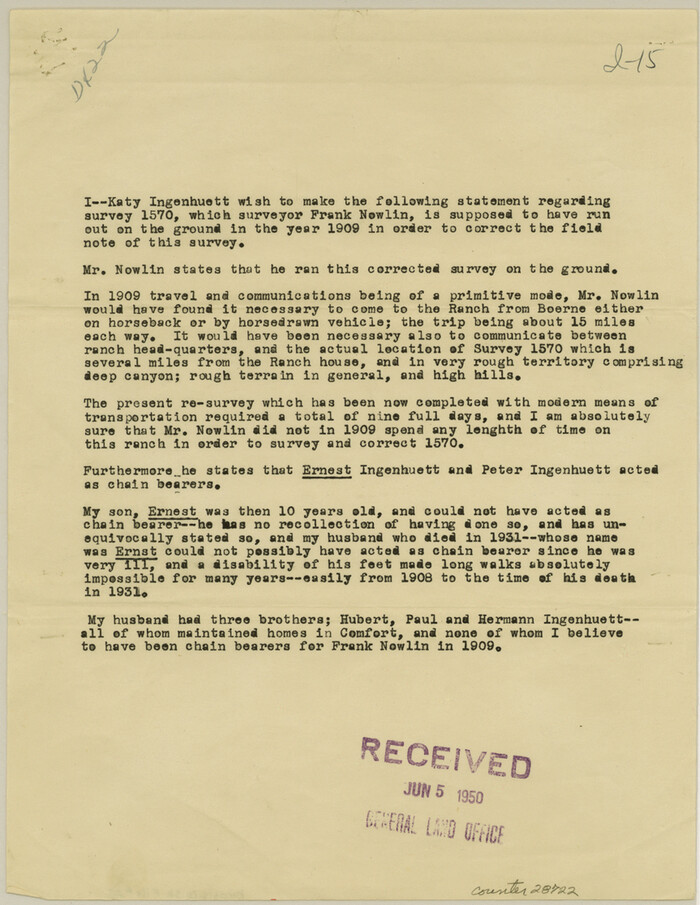

Print $6.00
- Digital $50.00
Kendall County Sketch File 25
1950
Size 11.2 x 8.6 inches
Map/Doc 28722
Anderson County Sketch File 6
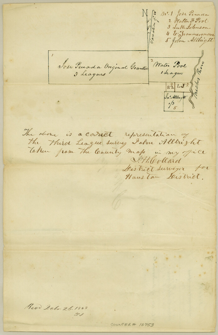

Print $4.00
- Digital $50.00
Anderson County Sketch File 6
Size 12.5 x 8.2 inches
Map/Doc 12753
Hudspeth County Sketch File 11


Print $14.00
- Digital $50.00
Hudspeth County Sketch File 11
Size 14.5 x 8.9 inches
Map/Doc 26903
Sutton County Sketch File 48
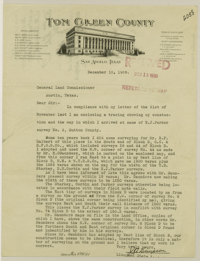

Print $4.00
- Digital $50.00
Sutton County Sketch File 48
1939
Size 11.3 x 8.7 inches
Map/Doc 37521
You may also like
History of Texas from its First Settlement in 1685 to its Annexation to the United States in 1846 (Vol. 2)


History of Texas from its First Settlement in 1685 to its Annexation to the United States in 1846 (Vol. 2)
1856
Map/Doc 97391
Upshur County


Print $20.00
- Digital $50.00
Upshur County
1945
Size 39.8 x 35.8 inches
Map/Doc 73308
[Location Survey of the Southern Kansas Railway, Kiowa Extension from a point in Drake's Location, in Indian Territory 100 miles from south line of Kansas, continuing up Wolf Creek and South Canadian River to Cottonwood Creek in Hutchinson County]
![88840, [Location Survey of the Southern Kansas Railway, Kiowa Extension from a point in Drake's Location, in Indian Territory 100 miles from south line of Kansas, continuing up Wolf Creek and South Canadian River to Cottonwood Creek in Hutchinson County], General Map Collection](https://historictexasmaps.com/wmedia_w700/maps/88840.tif.jpg)
![88840, [Location Survey of the Southern Kansas Railway, Kiowa Extension from a point in Drake's Location, in Indian Territory 100 miles from south line of Kansas, continuing up Wolf Creek and South Canadian River to Cottonwood Creek in Hutchinson County], General Map Collection](https://historictexasmaps.com/wmedia_w700/maps/88840.tif.jpg)
Print $20.00
- Digital $50.00
[Location Survey of the Southern Kansas Railway, Kiowa Extension from a point in Drake's Location, in Indian Territory 100 miles from south line of Kansas, continuing up Wolf Creek and South Canadian River to Cottonwood Creek in Hutchinson County]
1886
Size 39.1 x 38.0 inches
Map/Doc 88840
Padilla and Chambers Empresario Colony. February 12, 1830
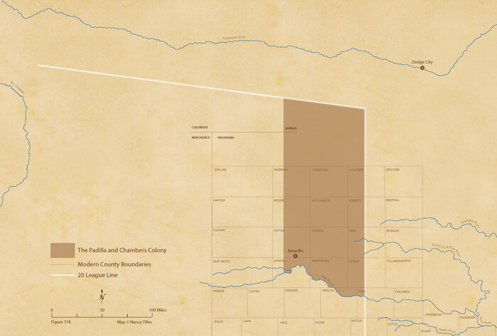

Print $20.00
Padilla and Chambers Empresario Colony. February 12, 1830
2020
Size 14.7 x 21.7 inches
Map/Doc 96002
Current Miscellaneous File 90


Print $18.00
- Digital $50.00
Current Miscellaneous File 90
1956
Size 11.2 x 8.8 inches
Map/Doc 74255
Uvalde County Rolled Sketch 24


Print $20.00
- Digital $50.00
Uvalde County Rolled Sketch 24
2014
Size 16.2 x 16.1 inches
Map/Doc 93722
Brewster County Rolled Sketch K
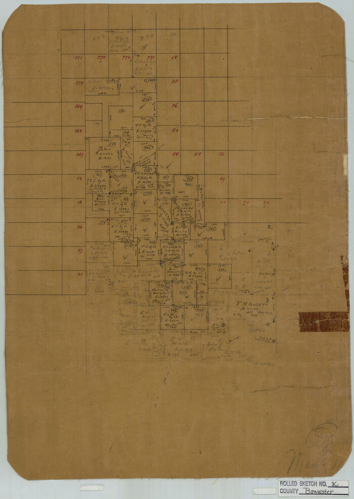

Print $20.00
- Digital $50.00
Brewster County Rolled Sketch K
1884
Size 19.6 x 13.9 inches
Map/Doc 5321
Flight Mission No. BRA-7M, Frame 42, Jefferson County
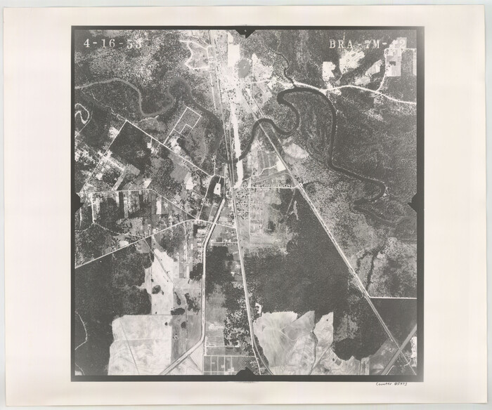

Print $20.00
- Digital $50.00
Flight Mission No. BRA-7M, Frame 42, Jefferson County
1953
Size 18.6 x 22.3 inches
Map/Doc 85493
Reeves County Sketch File 3
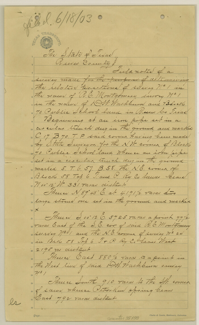

Print $8.00
- Digital $50.00
Reeves County Sketch File 3
Size 14.4 x 8.8 inches
Map/Doc 35188
Controlled Mosaic by Jack Amman Photogrammetric Engineers, Inc - Sheet 23
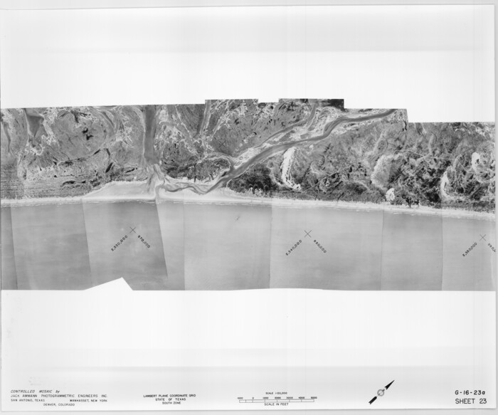

Print $20.00
- Digital $50.00
Controlled Mosaic by Jack Amman Photogrammetric Engineers, Inc - Sheet 23
1954
Size 20.0 x 24.0 inches
Map/Doc 83473
La Salle County Sketch File 4


Print $22.00
- Digital $50.00
La Salle County Sketch File 4
Size 12.7 x 16.2 inches
Map/Doc 29450
Map of Hardin County, Texas
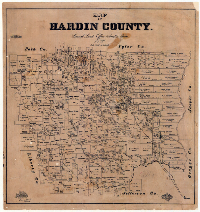

Print $20.00
- Digital $50.00
Map of Hardin County, Texas
1895
Size 22.1 x 20.9 inches
Map/Doc 499
![78384, Surveys on the lines [?] of Plum Creek, General Map Collection](https://historictexasmaps.com/wmedia_w1800h1800/maps/78384.tif.jpg)
