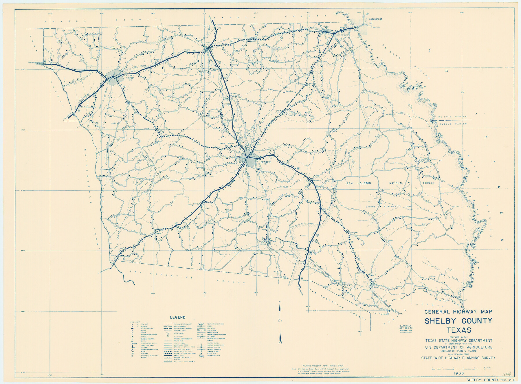
General Highway Map, Shelby County, Texas
-
Map/Doc
79242
-
Collection
Texas State Library and Archives
-
Object Dates
1940 (Creation Date)
-
People and Organizations
Texas State Highway Department (Publisher)
-
Counties
Shelby
-
Subjects
County
-
Height x Width
18.3 x 24.8 inches
46.5 x 63.0 cm
-
Comments
Prints available courtesy of the Texas State Library and Archives.
More info can be found here: TSLAC Map 04992
Part of: Texas State Library and Archives
General Highway Map, San Saba County, Texas

Print $20.00
General Highway Map, San Saba County, Texas
1961
Size 18.3 x 24.5 inches
Map/Doc 79648
General Highway Map, Culberson County, Texas

Print $20.00
General Highway Map, Culberson County, Texas
1940
Size 25.2 x 18.5 inches
Map/Doc 79064
General Highway Map, Gaines County, Texas

Print $20.00
General Highway Map, Gaines County, Texas
1961
Size 24.6 x 18.1 inches
Map/Doc 79474
General Highway Map, Caldwell County, Texas

Print $20.00
General Highway Map, Caldwell County, Texas
1961
Size 18.3 x 24.6 inches
Map/Doc 79394
Rand McNally Main Highway Map of Texas

Print $20.00
Rand McNally Main Highway Map of Texas
1923
Size 27.7 x 40.3 inches
Map/Doc 76260
General Highway Map, Smith County, Texas

Print $20.00
General Highway Map, Smith County, Texas
1939
Size 24.9 x 18.4 inches
Map/Doc 79244
General Highway Map, Chambers County, Texas

Print $20.00
General Highway Map, Chambers County, Texas
1940
Size 18.4 x 25.3 inches
Map/Doc 79044
General Highway Map, Matagorda County, Texas

Print $20.00
General Highway Map, Matagorda County, Texas
1961
Size 24.8 x 18.2 inches
Map/Doc 79585
General Highway Map, Ochiltree County, Texas

Print $20.00
General Highway Map, Ochiltree County, Texas
1961
Size 18.2 x 24.3 inches
Map/Doc 79618
General Highway Map, Dallam County, Texas

Print $20.00
General Highway Map, Dallam County, Texas
1961
Size 24.6 x 18.3 inches
Map/Doc 79428
General Highway Map, Swisher County, Texas

Print $20.00
General Highway Map, Swisher County, Texas
1961
Size 18.3 x 25.0 inches
Map/Doc 79663
General Highway Map, Gray County, Texas

Print $20.00
General Highway Map, Gray County, Texas
1961
Size 18.1 x 24.7 inches
Map/Doc 79483
You may also like
Clay County Sketch File 17

Print $4.00
- Digital $50.00
Clay County Sketch File 17
1855
Size 6.8 x 8.7 inches
Map/Doc 18425
Motley County Sketch File 10 (N)

Print $20.00
- Digital $50.00
Motley County Sketch File 10 (N)
1900
Size 14.0 x 8.5 inches
Map/Doc 32026
University Lands Blocks 1-13 & Block 58, Crockett, Reagan & Upton Counties

Print $20.00
- Digital $50.00
University Lands Blocks 1-13 & Block 58, Crockett, Reagan & Upton Counties
1936
Size 37.3 x 42.0 inches
Map/Doc 2445
Victoria County Working Sketch 7

Print $40.00
- Digital $50.00
Victoria County Working Sketch 7
1945
Size 55.3 x 18.0 inches
Map/Doc 72277
Polk County Sketch File 2a

Print $4.00
- Digital $50.00
Polk County Sketch File 2a
1863
Size 12.2 x 8.1 inches
Map/Doc 34120
Chambers County Sketch File 26

Print $20.00
- Digital $50.00
Chambers County Sketch File 26
1934
Size 19.6 x 24.6 inches
Map/Doc 11066
Limestone County Working Sketch 23

Print $20.00
- Digital $50.00
Limestone County Working Sketch 23
1980
Size 37.3 x 37.5 inches
Map/Doc 70573
Henderson County Boundary File 3c

Print $40.00
- Digital $50.00
Henderson County Boundary File 3c
Size 22.5 x 80.6 inches
Map/Doc 54707
Gaines County Rolled Sketch 32

Print $20.00
- Digital $50.00
Gaines County Rolled Sketch 32
1902
Size 20.5 x 29.9 inches
Map/Doc 5945
Culberson County Working Sketch 68

Print $40.00
- Digital $50.00
Culberson County Working Sketch 68
1975
Size 48.9 x 33.5 inches
Map/Doc 68522
Il Cuscho Citta Principale Della Provincia del Peru

Print $20.00
- Digital $50.00
Il Cuscho Citta Principale Della Provincia del Peru
1592
Size 12.3 x 15.4 inches
Map/Doc 97026
Outer Continental Shelf Leasing Maps (Louisiana Offshore Operations)

Print $20.00
- Digital $50.00
Outer Continental Shelf Leasing Maps (Louisiana Offshore Operations)
1955
Size 17.2 x 9.4 inches
Map/Doc 76081