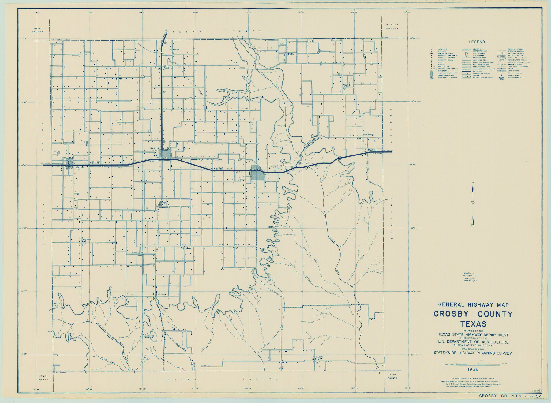
General Highway Map, Crosby County, Texas
-
Map/Doc
79063
-
Collection
Texas State Library and Archives
-
Object Dates
1940 (Creation Date)
-
People and Organizations
Texas State Highway Department (Publisher)
-
Counties
Crosby
-
Subjects
County
-
Height x Width
18.3 x 25.1 inches
46.5 x 63.8 cm
-
Comments
Prints available courtesy of the Texas State Library and Archives.
More info can be found here: TSLAC Map 04835
Part of: Texas State Library and Archives
Map Showing Colonel A.W. Doniphan's Route through the States of New Mexico, Chihuahua and Coahuila

Print $20.00
Map Showing Colonel A.W. Doniphan's Route through the States of New Mexico, Chihuahua and Coahuila
1847
Size 16.9 x 14.0 inches
Map/Doc 79729
General Highway Map, Garza County, Texas

Print $20.00
General Highway Map, Garza County, Texas
1961
Size 18.2 x 24.6 inches
Map/Doc 79478
General Highway Map, Kleberg County, Texas

Print $20.00
General Highway Map, Kleberg County, Texas
1961
Size 24.8 x 18.3 inches
Map/Doc 79558

Map of the Republic of Mexico

Print $20.00
Map of the Republic of Mexico
1882
Size 33.0 x 47.4 inches
Map/Doc 76220
General Highway Map. Detail of Cities and Towns in Harris County, Texas. City Map [of] Houston, Pasadena, West University Place, Bellaire, Galena Park, Jacinto City, South Houston, South Side Place, Deer Park, and vicinity, Harris County, Texas
![79504, General Highway Map. Detail of Cities and Towns in Harris County, Texas. City Map [of] Houston, Pasadena, West University Place, Bellaire, Galena Park, Jacinto City, South Houston, South Side Place, Deer Park, and vicinity, Harris County, Texas, Texas State Library and Archives](https://historictexasmaps.com/wmedia_w700/maps/79504.tif.jpg)
Print $20.00
General Highway Map. Detail of Cities and Towns in Harris County, Texas. City Map [of] Houston, Pasadena, West University Place, Bellaire, Galena Park, Jacinto City, South Houston, South Side Place, Deer Park, and vicinity, Harris County, Texas
1961
Size 18.1 x 24.8 inches
Map/Doc 79504
General Highway Map, Dawson County, Texas

Print $20.00
General Highway Map, Dawson County, Texas
1940
Size 18.5 x 25.2 inches
Map/Doc 79071
Phelps and Watson's Historical and Military Map of the Border and Southern States

Print $20.00
Phelps and Watson's Historical and Military Map of the Border and Southern States
1863
Size 25.5 x 36.3 inches
Map/Doc 76202
General Highway Map, Briscoe County, Texas

Print $20.00
General Highway Map, Briscoe County, Texas
1940
Size 18.5 x 24.9 inches
Map/Doc 79029
General Highway Map, Young County, Texas

Print $20.00
General Highway Map, Young County, Texas
1940
Size 18.4 x 24.8 inches
Map/Doc 79286
New City Map of Laredo, Texas

Print $20.00
New City Map of Laredo, Texas
1930
Size 21.7 x 11.3 inches
Map/Doc 76277
General Highway Map. Detail of Cities and Towns in Bexar County, Texas. City Map of San Antonio, Alamo Heights, Olmos Park, Terrell Hills, Castle Hills, Balcones Heights, and vicinity, Bexar County, Texas

Print $20.00
General Highway Map. Detail of Cities and Towns in Bexar County, Texas. City Map of San Antonio, Alamo Heights, Olmos Park, Terrell Hills, Castle Hills, Balcones Heights, and vicinity, Bexar County, Texas
1961
Size 18.2 x 25.0 inches
Map/Doc 79375
You may also like
Laneer vs. Bivins, Potter County, Texas

Print $20.00
- Digital $50.00
Laneer vs. Bivins, Potter County, Texas
Size 21.7 x 19.0 inches
Map/Doc 93103
Mason County Working Sketch 11

Print $20.00
- Digital $50.00
Mason County Working Sketch 11
1951
Size 24.7 x 23.7 inches
Map/Doc 70847
General Highway Map, Houston County, Texas

Print $20.00
General Highway Map, Houston County, Texas
1940
Size 25.0 x 18.6 inches
Map/Doc 79132
Pecos County Sketch File 60

Print $6.00
- Digital $50.00
Pecos County Sketch File 60
Size 8.2 x 16.5 inches
Map/Doc 33786
[Notes and rough sketch of survey 6, Block 16 and survey 19 1/2, Block 19]
![93053, [Notes and rough sketch of survey 6, Block 16 and survey 19 1/2, Block 19], Twichell Survey Records](https://historictexasmaps.com/wmedia_w700/maps/93053-1.tif.jpg)
Print $20.00
- Digital $50.00
[Notes and rough sketch of survey 6, Block 16 and survey 19 1/2, Block 19]
Size 23.8 x 11.8 inches
Map/Doc 93053
Live Oak County Working Sketch 2

Print $20.00
- Digital $50.00
Live Oak County Working Sketch 2
1891
Size 17.9 x 18.2 inches
Map/Doc 70587
Current Miscellaneous File 115

Print $16.00
- Digital $50.00
Current Miscellaneous File 115
1950
Size 11.3 x 8.8 inches
Map/Doc 74811
Padre Island National Seashore

Print $4.00
- Digital $50.00
Padre Island National Seashore
Size 16.1 x 22.1 inches
Map/Doc 60531
Midland County Working Sketch 33

Print $20.00
- Digital $50.00
Midland County Working Sketch 33
1982
Size 38.2 x 36.2 inches
Map/Doc 71014
Motley County Sketch File 5 (S)

Print $20.00
- Digital $50.00
Motley County Sketch File 5 (S)
Size 20.5 x 19.4 inches
Map/Doc 42138
Mitchell County

Print $20.00
- Digital $50.00
Mitchell County
1889
Size 44.3 x 37.8 inches
Map/Doc 66935
Newton County Aerial Photograph Index Sheet 6

Print $20.00
- Digital $50.00
Newton County Aerial Photograph Index Sheet 6
1953
Size 24.0 x 18.4 inches
Map/Doc 83735