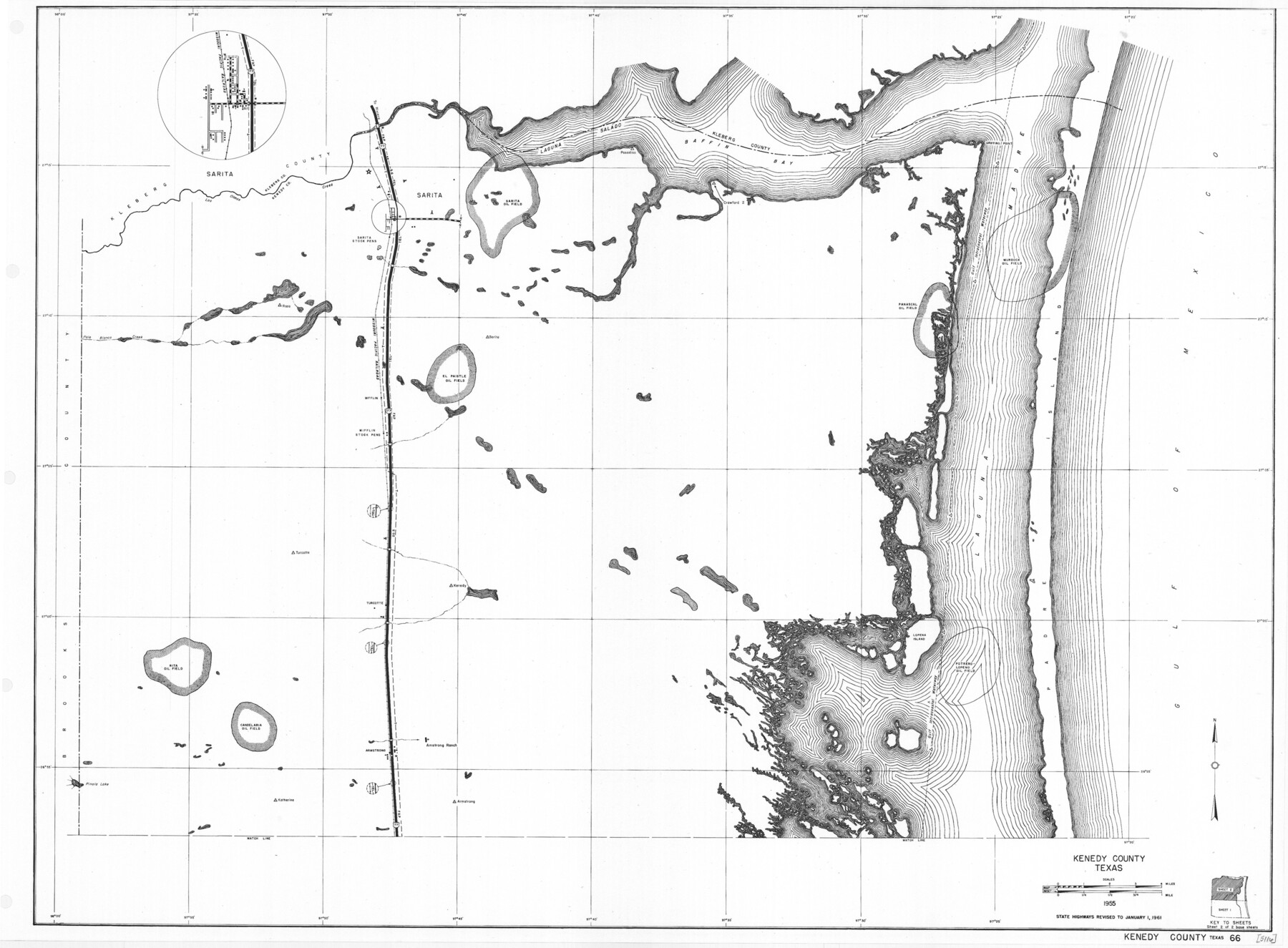
General Highway Map, Kenedy County, Texas
-
Map/Doc
79447
-
Collection
Texas State Library and Archives
-
Object Dates
1961 (Creation Date)
-
People and Organizations
Texas State Highway Department (Publisher)
-
Counties
Kenedy
-
Subjects
County
-
Height x Width
18.1 x 24.6 inches
46.0 x 62.5 cm
-
Comments
Prints available courtesy of the Texas State Library and Archives.
More info can be found here: TSLAC Map 05116
Part of: Texas State Library and Archives
General Highway Map, Kimble County, Texas

Print $20.00
General Highway Map, Kimble County, Texas
1940
Size 24.8 x 18.3 inches
Map/Doc 79160
General Highway Map, Lamar County, Texas

Print $20.00
General Highway Map, Lamar County, Texas
1961
Size 24.6 x 18.2 inches
Map/Doc 79561
General Highway Map, Oldham County, Texas

Print $20.00
General Highway Map, Oldham County, Texas
1961
Size 24.6 x 18.2 inches
Map/Doc 79620
General Highway Map, Galveston County, Texas

Print $20.00
General Highway Map, Galveston County, Texas
1961
Size 18.2 x 24.6 inches
Map/Doc 79476
General Highway Map, Dallam County, Texas

Print $20.00
General Highway Map, Dallam County, Texas
1961
Size 24.7 x 18.2 inches
Map/Doc 79429
General Highway Map, Kerr County, Texas

Print $20.00
General Highway Map, Kerr County, Texas
1961
Size 24.8 x 18.2 inches
Map/Doc 79551
General Highway Map, Lynn County, Texas

Print $20.00
General Highway Map, Lynn County, Texas
1940
Size 18.2 x 24.9 inches
Map/Doc 79182
General Highway Map, El Paso County, Texas

Print $20.00
General Highway Map, El Paso County, Texas
1940
Size 18.4 x 24.7 inches
Map/Doc 79084
General Highway Map, Shackelford County, Texas

Print $20.00
General Highway Map, Shackelford County, Texas
1961
Size 18.1 x 24.8 inches
Map/Doc 79651
General Highway Map, Franklin County, Texas

Print $20.00
General Highway Map, Franklin County, Texas
1961
Size 18.1 x 24.5 inches
Map/Doc 79471
General Highway Map, Cochran County, Texas

Print $20.00
General Highway Map, Cochran County, Texas
1961
Size 24.8 x 18.2 inches
Map/Doc 79410
Map of the United States Engraved to Illustrate Mitchell's School and Family Geography

Print $20.00
Map of the United States Engraved to Illustrate Mitchell's School and Family Geography
1839
Size 11.6 x 17.4 inches
Map/Doc 79734
You may also like
Tarrant County Sketch File 6

Print $4.00
- Digital $50.00
Tarrant County Sketch File 6
1859
Size 6.8 x 8.3 inches
Map/Doc 37682
Fannin County Boundary File 10a and 10b and 10c

Print $2.00
- Digital $50.00
Fannin County Boundary File 10a and 10b and 10c
Size 11.2 x 9.1 inches
Map/Doc 53327
[Sketch for Mineral Application 26543 - Sabine River, D. H. Sanford]
![65677, [Sketch for Mineral Application 26543 - Sabine River, D. H. Sanford], General Map Collection](https://historictexasmaps.com/wmedia_w700/maps/65677.tif.jpg)
Print $40.00
- Digital $50.00
[Sketch for Mineral Application 26543 - Sabine River, D. H. Sanford]
1931
Size 30.8 x 71.9 inches
Map/Doc 65677
Webb County Working Sketch 46

Print $20.00
- Digital $50.00
Webb County Working Sketch 46
1947
Size 18.4 x 23.5 inches
Map/Doc 72411
Flight Mission No. CRK-5P, Frame 129, Refugio County

Print $20.00
- Digital $50.00
Flight Mission No. CRK-5P, Frame 129, Refugio County
1956
Size 18.4 x 22.3 inches
Map/Doc 86932
Wood County Working Sketch 14

Print $20.00
- Digital $50.00
Wood County Working Sketch 14
1968
Size 30.1 x 31.6 inches
Map/Doc 62014
United States - Gulf Coast Texas - Southern part of Laguna Madre

Print $20.00
- Digital $50.00
United States - Gulf Coast Texas - Southern part of Laguna Madre
1941
Size 26.4 x 18.2 inches
Map/Doc 72956
Hudspeth County Sketch File 39

Print $42.00
- Digital $50.00
Hudspeth County Sketch File 39
Size 8.8 x 11.5 inches
Map/Doc 27010
Jasper County Working Sketch 29

Print $20.00
- Digital $50.00
Jasper County Working Sketch 29
1956
Size 20.6 x 31.4 inches
Map/Doc 66491
Flight Mission No. DAG-24K, Frame 131, Matagorda County

Print $20.00
- Digital $50.00
Flight Mission No. DAG-24K, Frame 131, Matagorda County
1953
Size 18.6 x 22.4 inches
Map/Doc 86549
Sabine Bank to East Bay including Heald Bank

Print $20.00
- Digital $50.00
Sabine Bank to East Bay including Heald Bank
1971
Size 45.0 x 34.4 inches
Map/Doc 69849
Working Sketch in Armstrong County

Print $20.00
- Digital $50.00
Working Sketch in Armstrong County
1918
Size 31.5 x 24.3 inches
Map/Doc 90265