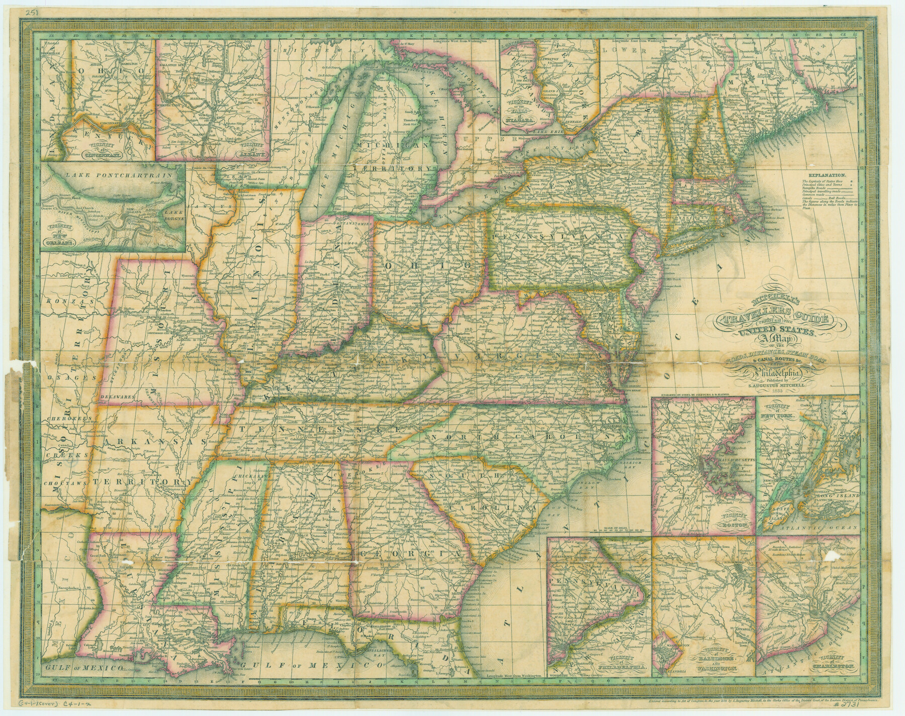
Mitchell's Travellers Guide Through the United States. A Map of the Roads, Distances, Steam Boat, and Canal Routes etc.
-
Map/Doc
79723
-
Collection
Texas State Library and Archives
-
Object Dates
1835 (Creation Date)
-
People and Organizations
S. Augustus Mitchell (Publisher)
J. H. Young, D. Haines (Printer)
-
Subjects
United States
-
Height x Width
18.0 x 22.7 inches
45.7 x 57.7 cm
-
Comments
Prints available courtesy of the Texas State Library and Archives.
More info can be found here: TSLAC Map 02731
Part of: Texas State Library and Archives
General Highway Map, Reagan County, Texas

Print $20.00
General Highway Map, Reagan County, Texas
1940
Size 25.0 x 18.2 inches
Map/Doc 79225
General Highway Map, Brooks County, Texas

Print $20.00
General Highway Map, Brooks County, Texas
1940
Size 18.5 x 25.0 inches
Map/Doc 79030
General Highway Map, Ochiltree County, Texas

Print $20.00
General Highway Map, Ochiltree County, Texas
1940
Size 18.2 x 24.8 inches
Map/Doc 79211
General Highway Map. Detail of Cities and Towns in Brown County, Texas [Brownwood and vicinity]
![79390, General Highway Map. Detail of Cities and Towns in Brown County, Texas [Brownwood and vicinity], Texas State Library and Archives](https://historictexasmaps.com/wmedia_w700/maps/79390.tif.jpg)
Print $20.00
General Highway Map. Detail of Cities and Towns in Brown County, Texas [Brownwood and vicinity]
1961
Size 24.8 x 18.2 inches
Map/Doc 79390
General Highway Map. Detail of Cities and Towns in Milam County, Texas [Rockdale and Cameron and vicinities]
![79598, General Highway Map. Detail of Cities and Towns in Milam County, Texas [Rockdale and Cameron and vicinities], Texas State Library and Archives](https://historictexasmaps.com/wmedia_w700/maps/79598.tif.jpg)
Print $20.00
General Highway Map. Detail of Cities and Towns in Milam County, Texas [Rockdale and Cameron and vicinities]
1961
Size 18.1 x 24.6 inches
Map/Doc 79598
General Highway Map. Detail of Cities and Towns in Kinney County, Uvalde County [Uvalde and vicinity, Sabinal, and Brackettville and vicinity]
![79163, General Highway Map. Detail of Cities and Towns in Kinney County, Uvalde County [Uvalde and vicinity, Sabinal, and
Brackettville and vicinity], Texas State Library and Archives](https://historictexasmaps.com/wmedia_w700/maps/79163.tif.jpg)
Print $20.00
General Highway Map. Detail of Cities and Towns in Kinney County, Uvalde County [Uvalde and vicinity, Sabinal, and Brackettville and vicinity]
1940
Size 18.5 x 24.7 inches
Map/Doc 79163
General Highway Map, Lynn County, Texas

Print $20.00
General Highway Map, Lynn County, Texas
1961
Size 18.1 x 24.6 inches
Map/Doc 79580
General Highway Map. Detail of Cities and Towns in Tarrant County, Texas. City Map, Fort Worth and vicinity, Tarrant County, Texas

Print $20.00
General Highway Map. Detail of Cities and Towns in Tarrant County, Texas. City Map, Fort Worth and vicinity, Tarrant County, Texas
1961
Size 18.1 x 25.0 inches
Map/Doc 79665
General Highway Map, Hutchinson County, Texas

Print $20.00
General Highway Map, Hutchinson County, Texas
1961
Size 18.1 x 24.6 inches
Map/Doc 79529
Denver to Ft. Worth and the Gulf. Panhandle Route

Print $20.00
Denver to Ft. Worth and the Gulf. Panhandle Route
1888
Size 7.5 x 10.9 inches
Map/Doc 76297
General Highway Map, Carson County, Texas

Print $20.00
General Highway Map, Carson County, Texas
1961
Size 18.2 x 24.9 inches
Map/Doc 79401
General Highway Map. Detail of Cities and Towns in Hays County, Texas [San Marcos and vicinity]
![79514, General Highway Map. Detail of Cities and Towns in Hays County, Texas [San Marcos and vicinity], Texas State Library and Archives](https://historictexasmaps.com/wmedia_w700/maps/79514.tif.jpg)
Print $20.00
General Highway Map. Detail of Cities and Towns in Hays County, Texas [San Marcos and vicinity]
1961
Size 17.9 x 24.5 inches
Map/Doc 79514
You may also like
Bosque County Rolled Sketch 3

Print $20.00
- Digital $50.00
Bosque County Rolled Sketch 3
Size 24.6 x 19.1 inches
Map/Doc 89015
[Mrs. May Vinson Survey]
![91869, [Mrs. May Vinson Survey], Twichell Survey Records](https://historictexasmaps.com/wmedia_w700/maps/91869-1.tif.jpg)
Print $20.00
- Digital $50.00
[Mrs. May Vinson Survey]
Size 25.5 x 14.8 inches
Map/Doc 91869
Pecos County Sketch File 65

Print $6.00
- Digital $50.00
Pecos County Sketch File 65
1919
Size 16.7 x 11.9 inches
Map/Doc 33824
Subdivision of the J. F. Carter Estate

Print $2.00
- Digital $50.00
Subdivision of the J. F. Carter Estate
Size 11.8 x 9.0 inches
Map/Doc 91279
San Saba County Working Sketch 2

Print $20.00
- Digital $50.00
San Saba County Working Sketch 2
1928
Size 23.2 x 27.2 inches
Map/Doc 63790
Reeves County Rolled Sketch P

Print $20.00
- Digital $50.00
Reeves County Rolled Sketch P
Size 33.2 x 29.2 inches
Map/Doc 9847
Flight Mission No. CLL-4N, Frame 37, Willacy County

Print $20.00
- Digital $50.00
Flight Mission No. CLL-4N, Frame 37, Willacy County
1954
Size 18.4 x 22.1 inches
Map/Doc 87110
Shelby County Sketch File 8

Print $4.00
- Digital $50.00
Shelby County Sketch File 8
Size 10.1 x 7.9 inches
Map/Doc 36607
Cottle County Rolled Sketch 7

Print $20.00
- Digital $50.00
Cottle County Rolled Sketch 7
Size 36.8 x 33.0 inches
Map/Doc 8675
Yellow House Ranch Lamb County, Texas

Print $20.00
- Digital $50.00
Yellow House Ranch Lamb County, Texas
Size 24.0 x 26.2 inches
Map/Doc 92178
Lubbock County Sketch File 10

Print $4.00
- Digital $50.00
Lubbock County Sketch File 10
1914
Size 11.2 x 8.7 inches
Map/Doc 30432
Flight Mission No. DIX-5P, Frame 114, Aransas County

Print $20.00
- Digital $50.00
Flight Mission No. DIX-5P, Frame 114, Aransas County
1956
Size 17.4 x 17.6 inches
Map/Doc 83793