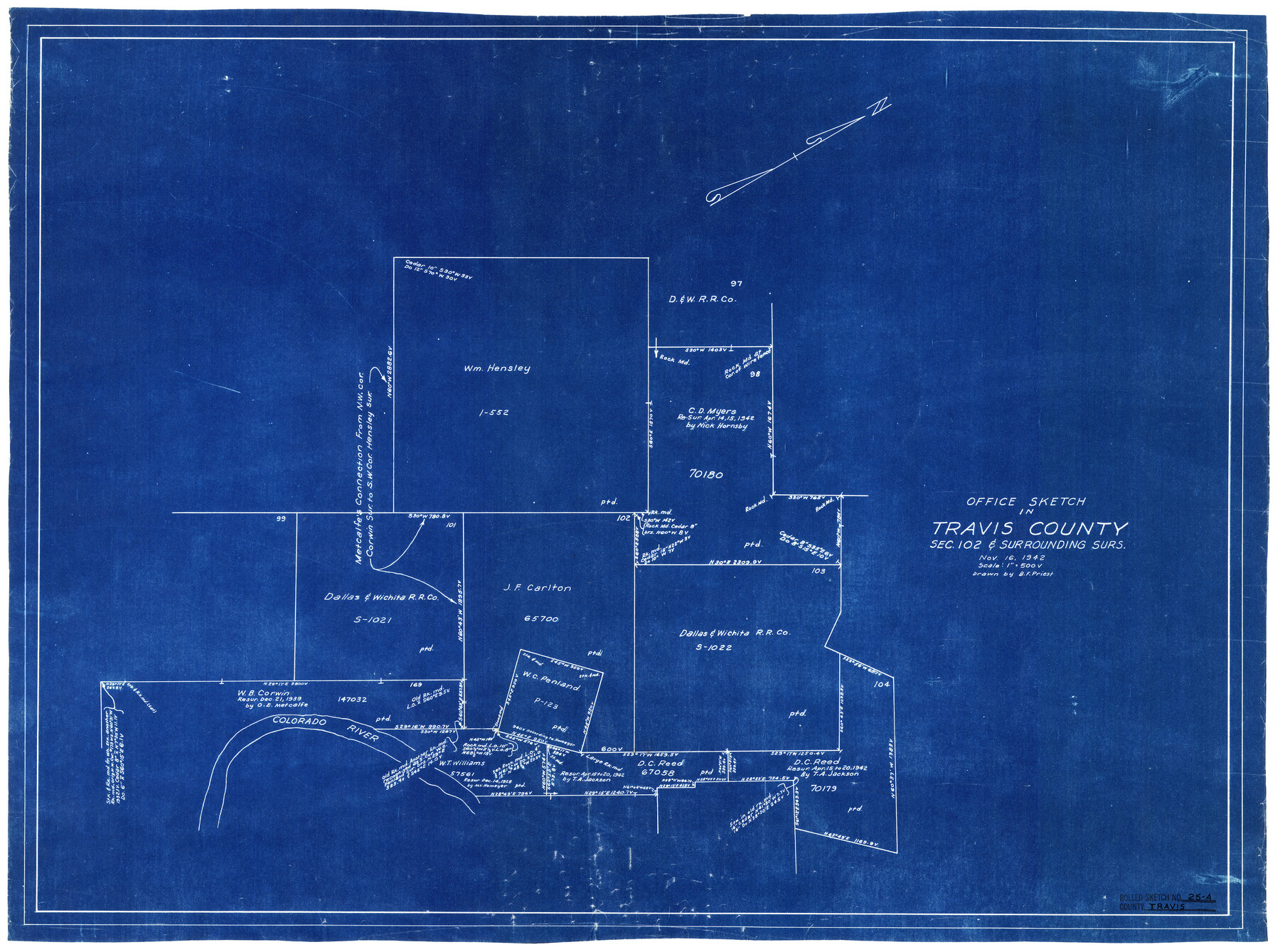
Travis County Rolled Sketch 25A
Office sketch in Travis County, sec. 102 & surrounding surs.
-
Map/Doc
8027
-
Collection
General Map Collection
-
Object Dates
11/16/1942 (Creation Date)
1/18/1943 (File Date)
-
People and Organizations
B.F. Priest (Draftsman)
-
Counties
Travis
-
Subjects
Surveying Rolled Sketch
-
Height x Width
21.7 x 29.1 inches
55.1 x 73.9 cm
-
Medium
blueprint/diazo
-
Scale
1" = 500 varas
Part of: General Map Collection
Flight Mission No. CUG-3P, Frame 166, Kleberg County

Print $20.00
- Digital $50.00
Flight Mission No. CUG-3P, Frame 166, Kleberg County
1956
Size 18.6 x 22.3 inches
Map/Doc 86286
Clay County Sketch File 42

Print $20.00
- Digital $50.00
Clay County Sketch File 42
Size 22.8 x 31.0 inches
Map/Doc 11093
Winkler County Working Sketch 2

Print $20.00
- Digital $50.00
Winkler County Working Sketch 2
1944
Size 36.9 x 29.9 inches
Map/Doc 72596
Shelby County Sketch File 22

Print $6.00
- Digital $50.00
Shelby County Sketch File 22
Size 15.4 x 10.2 inches
Map/Doc 36643
Wharton County

Print $40.00
- Digital $50.00
Wharton County
1894
Size 52.3 x 56.3 inches
Map/Doc 16923
Washington County Sketch File 6

Print $20.00
- Digital $50.00
Washington County Sketch File 6
1901
Size 24.7 x 26.0 inches
Map/Doc 12602
Clay County Sketch File 45

Print $20.00
- Digital $50.00
Clay County Sketch File 45
Size 23.5 x 35.4 inches
Map/Doc 11097
[Sketch for Mineral Application 27669 - Trinity River, Frank R. Graves]
![2858, [Sketch for Mineral Application 27669 - Trinity River, Frank R. Graves], General Map Collection](https://historictexasmaps.com/wmedia_w700/maps/2858-1.tif.jpg)
Print $40.00
- Digital $50.00
[Sketch for Mineral Application 27669 - Trinity River, Frank R. Graves]
1934
Size 28.3 x 83.2 inches
Map/Doc 2858
Bee County Sketch File 30

Print $6.00
- Digital $50.00
Bee County Sketch File 30
Size 14.2 x 8.9 inches
Map/Doc 14341
Flight Mission No. DCL-6C, Frame 132, Kenedy County

Print $20.00
- Digital $50.00
Flight Mission No. DCL-6C, Frame 132, Kenedy County
1943
Size 18.6 x 22.3 inches
Map/Doc 85962
Donley County Sketch File 30

Print $24.00
- Digital $50.00
Donley County Sketch File 30
1906
Size 11.3 x 8.7 inches
Map/Doc 21270
Burnet County Boundary File 2

Print $28.00
- Digital $50.00
Burnet County Boundary File 2
Size 12.7 x 8.1 inches
Map/Doc 50858
You may also like
Cottle County Working Sketch 21

Print $20.00
- Digital $50.00
Cottle County Working Sketch 21
1982
Size 37.0 x 46.6 inches
Map/Doc 68331
Map of Wise County

Print $20.00
- Digital $50.00
Map of Wise County
1862
Size 23.5 x 19.0 inches
Map/Doc 4162
Flight Mission No. BQR-7K, Frame 33, Brazoria County

Print $20.00
- Digital $50.00
Flight Mission No. BQR-7K, Frame 33, Brazoria County
1952
Size 18.7 x 22.3 inches
Map/Doc 84031
Refugio County Sketch File 6

Print $4.00
- Digital $50.00
Refugio County Sketch File 6
1856
Size 8.0 x 13.7 inches
Map/Doc 35249

Sterling County

Print $20.00
- Digital $50.00
Sterling County
1926
Size 47.8 x 35.2 inches
Map/Doc 16820
McLennan County Sketch File 8

Print $14.00
- Digital $50.00
McLennan County Sketch File 8
1858
Size 12.4 x 7.7 inches
Map/Doc 31251
[Surveys along Seco Creek]
![268, [Surveys along Seco Creek], General Map Collection](https://historictexasmaps.com/wmedia_w700/maps/268.tif.jpg)
Print $3.00
- Digital $50.00
[Surveys along Seco Creek]
1847
Size 14.6 x 9.8 inches
Map/Doc 268
Real County Working Sketch 90

Print $20.00
- Digital $50.00
Real County Working Sketch 90
1991
Size 16.7 x 22.8 inches
Map/Doc 71982
Lynn County Sketch File 15

Print $34.00
- Digital $50.00
Lynn County Sketch File 15
Size 14.2 x 8.7 inches
Map/Doc 30497
Robertson County Working Sketch 20

Print $40.00
- Digital $50.00
Robertson County Working Sketch 20
2005
Size 27.5 x 50.0 inches
Map/Doc 83583
Dallas County Sketch File 10

Print $4.00
- Digital $50.00
Dallas County Sketch File 10
1858
Size 12.5 x 8.2 inches
Map/Doc 20414