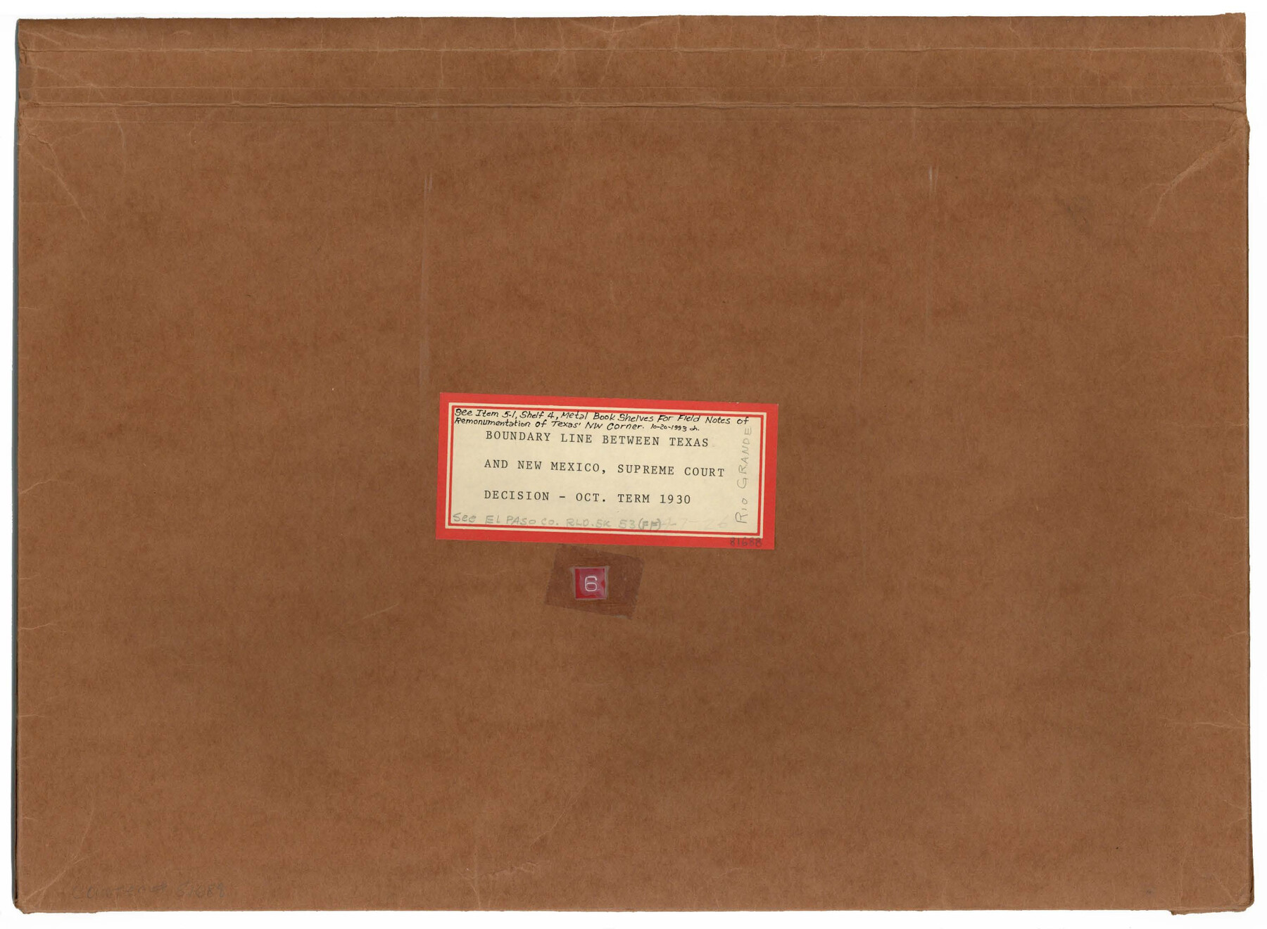
Boundary Line Between Texas and New Mexico, Supreme Court Decision - Oct. Term, 1930
Report of the Commissioner appointed to run, locate, and mark the boundary between New Mexico and Texas
-
Map/Doc
81688
-
Collection
General Map Collection
-
Object Dates
10/1930 (Creation Date)
-
People and Organizations
Samuel S. Gannett (Commissioner)
-
Subjects
Texas Boundaries
Related maps
Complete Report of John H. Clark's Survey of Texas-U. S. Boundary - 1859 through 1862, including maps

Print $323.00
Complete Report of John H. Clark's Survey of Texas-U. S. Boundary - 1859 through 1862, including maps
1882
Map/Doc 81685
Report Upon the Resurvey and Location of the Boundary Line between the States of Texas and New Mexico

Print $1706.00
Report Upon the Resurvey and Location of the Boundary Line between the States of Texas and New Mexico
1911
Map/Doc 81686
Field Notes for the Remonumentation of the Northwest Corner of the State of Texas by the Department of the Interior

Print $38.00
Field Notes for the Remonumentation of the Northwest Corner of the State of Texas by the Department of the Interior
1991
Map/Doc 81687
J.H. Clark's Report of 1861 - Boundary Between Texas and New Mexico

Print $78.00
J.H. Clark's Report of 1861 - Boundary Between Texas and New Mexico
1861
Map/Doc 81689
Plats of the Resurvey of Clark's Texas-New Mexico Boundary by the U. S. Boundary Commission, 1911

Print $180.00
Plats of the Resurvey of Clark's Texas-New Mexico Boundary by the U. S. Boundary Commission, 1911
1911
Map/Doc 81690
Texas-New Mexico Boundary Along Rio Grande (plats)

Print $390.00
Texas-New Mexico Boundary Along Rio Grande (plats)
1933
Map/Doc 81691
Part of: General Map Collection
Flight Mission No. DIX-6P, Frame 181, Aransas County

Print $20.00
- Digital $50.00
Flight Mission No. DIX-6P, Frame 181, Aransas County
1956
Size 18.9 x 22.6 inches
Map/Doc 83843
Map of Webb County

Print $20.00
- Digital $50.00
Map of Webb County
1895
Size 34.8 x 27.0 inches
Map/Doc 4132
Stonewall County Sketch File 12 and 12a

Print $30.00
- Digital $50.00
Stonewall County Sketch File 12 and 12a
1900
Size 9.2 x 9.0 inches
Map/Doc 37240
Pecos County Rolled Sketch 139

Print $40.00
- Digital $50.00
Pecos County Rolled Sketch 139
1953
Size 41.0 x 57.4 inches
Map/Doc 9732
Fayette County Sketch File 3

Print $6.00
- Digital $50.00
Fayette County Sketch File 3
1863
Size 8.3 x 10.7 inches
Map/Doc 22501
Flight Mission No. BQY-4M, Frame 116, Harris County

Print $20.00
- Digital $50.00
Flight Mission No. BQY-4M, Frame 116, Harris County
1953
Size 18.5 x 22.4 inches
Map/Doc 85283
Medina County Sketch File 9

Print $6.00
- Digital $50.00
Medina County Sketch File 9
1888
Size 3.9 x 5.7 inches
Map/Doc 31458
University Land Block 46, Culberson County, Texas

Print $20.00
- Digital $50.00
University Land Block 46, Culberson County, Texas
1938
Size 35.1 x 22.0 inches
Map/Doc 2410
Motley County Sketch File 6 (N)

Print $20.00
- Digital $50.00
Motley County Sketch File 6 (N)
1900
Size 14.0 x 8.6 inches
Map/Doc 32004
San Saba County Sketch File 9

Print $22.00
- Digital $50.00
San Saba County Sketch File 9
1883
Size 12.3 x 13.7 inches
Map/Doc 36433
Kent County Working Sketch 2

Print $20.00
- Digital $50.00
Kent County Working Sketch 2
1947
Size 43.7 x 42.7 inches
Map/Doc 70008
Marion County Working Sketch 32

Print $40.00
- Digital $50.00
Marion County Working Sketch 32
1982
Size 50.0 x 43.3 inches
Map/Doc 70808
You may also like
Coryell County Working Sketch 12

Print $20.00
- Digital $50.00
Coryell County Working Sketch 12
1949
Size 36.0 x 38.7 inches
Map/Doc 68219
[Townships 1 & 2, Blocks 53, 54, 55, and 76]
![92882, [Townships 1 & 2, Blocks 53, 54, 55, and 76], Twichell Survey Records](https://historictexasmaps.com/wmedia_w700/maps/92882-1.tif.jpg)
Print $20.00
- Digital $50.00
[Townships 1 & 2, Blocks 53, 54, 55, and 76]
Size 29.3 x 24.0 inches
Map/Doc 92882
Presidio County Working Sketch 109

Print $20.00
- Digital $50.00
Presidio County Working Sketch 109
1980
Size 23.3 x 21.4 inches
Map/Doc 71786
Gillespie County Sketch File 4a

Print $40.00
- Digital $50.00
Gillespie County Sketch File 4a
Size 15.8 x 12.8 inches
Map/Doc 24137
Rockwall County Boundary File 4

Print $6.00
- Digital $50.00
Rockwall County Boundary File 4
Size 10.9 x 8.4 inches
Map/Doc 58396
Upton County Rolled Sketch 58

Print $20.00
- Digital $50.00
Upton County Rolled Sketch 58
Size 39.0 x 35.0 inches
Map/Doc 46125
Shelby County Working Sketch 11

Print $20.00
- Digital $50.00
Shelby County Working Sketch 11
1945
Size 32.2 x 43.2 inches
Map/Doc 63864
Nautical Chart 887-SC Intracoastal Waterway - Galveston Bay to Cedar Lakes including the Brazos and San Bernard Rivers, Texas

Print $40.00
- Digital $50.00
Nautical Chart 887-SC Intracoastal Waterway - Galveston Bay to Cedar Lakes including the Brazos and San Bernard Rivers, Texas
1971
Size 15.3 x 59.6 inches
Map/Doc 69939
Galveston County NRC Article 33.136 Sketch 59

Print $24.00
- Digital $50.00
Galveston County NRC Article 33.136 Sketch 59
2008
Size 11.5 x 17.0 inches
Map/Doc 94606
Robertson County Sketch File 7

Print $20.00
Robertson County Sketch File 7
1873
Size 16.3 x 24.0 inches
Map/Doc 12250
[Part of Blocks H. & G. N. 12, University Lands 16 and 17, C-3, C-4, A-2, 194 and Z]
![91621, [Part of Blocks H. & G. N. 12, University Lands 16 and 17, C-3, C-4, A-2, 194 and Z], Twichell Survey Records](https://historictexasmaps.com/wmedia_w700/maps/91621-1.tif.jpg)
Print $20.00
- Digital $50.00
[Part of Blocks H. & G. N. 12, University Lands 16 and 17, C-3, C-4, A-2, 194 and Z]
1907
Size 26.1 x 18.9 inches
Map/Doc 91621
Travis County Boundary File 5

Print $62.00
- Digital $50.00
Travis County Boundary File 5
Size 9.1 x 4.4 inches
Map/Doc 59430