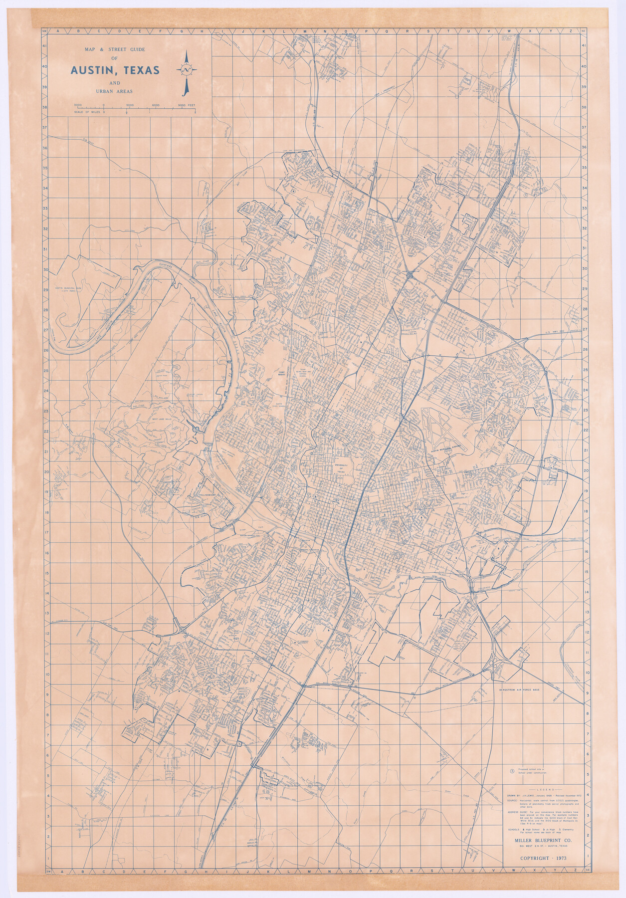
Map and Street Guide of Austin, Texas and Urban Areas
-
Map/Doc
82029
-
Collection
General Map Collection
-
Object Dates
1972 (Creation Date)
-
People and Organizations
Miller Blueprint Company (Publisher)
Miller Blueprint Company (Printer)
J.K. Lewis (Draftsman)
-
Counties
Travis
-
Subjects
City
-
Height x Width
48.6 x 33.9 inches
123.4 x 86.1 cm
-
Medium
paper, etching/engraving/lithograph
-
Comments
Available for research only. Copyrighted and unavailable for duplication.
Map noted as drawn in January 1968 and revised November 1972.
Received in office June 25, 2002.
Part of: General Map Collection
Nueces County Rolled Sketch 126 A-G

Print $22.00
- Digital $50.00
Nueces County Rolled Sketch 126 A-G
1998
Size 11.3 x 8.8 inches
Map/Doc 8962
Hartley County Rolled Sketch 7

Print $20.00
- Digital $50.00
Hartley County Rolled Sketch 7
1952
Size 24.2 x 27.4 inches
Map/Doc 6161
Upton County Boundary File 1

Print $5.00
- Digital $50.00
Upton County Boundary File 1
Size 13.4 x 9.0 inches
Map/Doc 59506
Dawson County Working Sketch 1

Print $20.00
- Digital $50.00
Dawson County Working Sketch 1
Size 11.1 x 14.1 inches
Map/Doc 68545
Flight Mission No. BRA-16M, Frame 161, Jefferson County

Print $20.00
- Digital $50.00
Flight Mission No. BRA-16M, Frame 161, Jefferson County
1953
Size 18.5 x 22.3 inches
Map/Doc 85759
Mills County Boundary File 4

Print $40.00
- Digital $50.00
Mills County Boundary File 4
Size 52.1 x 13.3 inches
Map/Doc 57293
Tom Green County Boundary File 6

Print $42.00
- Digital $50.00
Tom Green County Boundary File 6
Size 14.5 x 9.0 inches
Map/Doc 59376
Washington County

Print $20.00
- Digital $50.00
Washington County
1976
Size 31.7 x 46.5 inches
Map/Doc 73317
Foard County Rolled Sketch 12

Print $20.00
- Digital $50.00
Foard County Rolled Sketch 12
1945
Size 26.8 x 19.7 inches
Map/Doc 5886
Live Oak County Working Sketch 34

Print $20.00
- Digital $50.00
Live Oak County Working Sketch 34
Size 31.0 x 42.6 inches
Map/Doc 78469
Boundary and Ownership map, Laguna Atascosa National Wildlife Refuge, Cameron and Willacy Counties, Texas

Print $40.00
- Digital $50.00
Boundary and Ownership map, Laguna Atascosa National Wildlife Refuge, Cameron and Willacy Counties, Texas
Size 72.7 x 43.0 inches
Map/Doc 60396
Fayette County Sketch File 4

Print $4.00
- Digital $50.00
Fayette County Sketch File 4
Size 11.7 x 7.9 inches
Map/Doc 22504
You may also like
Wilson County Rolled Sketch 3

Print $20.00
- Digital $50.00
Wilson County Rolled Sketch 3
1956
Size 25.8 x 22.8 inches
Map/Doc 8369
Shelby County Sketch File 34

Print $3.00
- Digital $50.00
Shelby County Sketch File 34
1847
Size 10.1 x 15.7 inches
Map/Doc 36674
de Leon Empresario Colony. April 30, 1829

Print $20.00
de Leon Empresario Colony. April 30, 1829
2020
Size 18.5 x 21.7 inches
Map/Doc 95990
Hutchinson County Working Sketch 44

Print $20.00
- Digital $50.00
Hutchinson County Working Sketch 44
1978
Size 27.6 x 23.4 inches
Map/Doc 66404
Callahan County Sketch File 7

Print $18.00
- Digital $50.00
Callahan County Sketch File 7
Size 10.8 x 8.9 inches
Map/Doc 35863
Presidio County Working Sketch 16

Print $20.00
- Digital $50.00
Presidio County Working Sketch 16
1942
Size 22.0 x 41.4 inches
Map/Doc 71692
United States - Gulf Coast Texas - Southern part of Laguna Madre

Print $20.00
- Digital $50.00
United States - Gulf Coast Texas - Southern part of Laguna Madre
1941
Size 26.4 x 18.2 inches
Map/Doc 72956
Hays County Sketch File 2

Print $4.00
- Digital $50.00
Hays County Sketch File 2
1846
Size 6.3 x 8.1 inches
Map/Doc 26200
Aransas County Rolled Sketch 2

Print $20.00
- Digital $50.00
Aransas County Rolled Sketch 2
1950
Size 21.4 x 24.4 inches
Map/Doc 73615
Upton County Sketch File 12

Print $20.00
- Digital $50.00
Upton County Sketch File 12
1926
Size 20.6 x 34.8 inches
Map/Doc 12512
Duval County Working Sketch 54

Print $20.00
- Digital $50.00
Duval County Working Sketch 54
1950
Size 14.1 x 19.8 inches
Map/Doc 68778
Terrell County Rolled Sketch 53

Print $20.00
- Digital $50.00
Terrell County Rolled Sketch 53
Size 33.1 x 24.2 inches
Map/Doc 7971