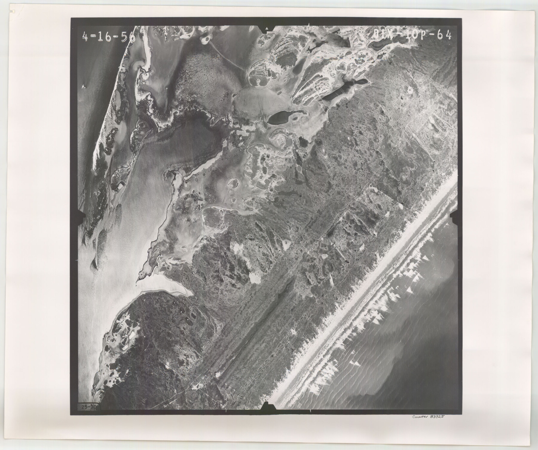
Flight Mission No. DIX-10P, Frame 64, Aransas County
DIX-10P-64
-
Map/Doc
83925
-
Collection
General Map Collection
-
Object Dates
1956/4/16 (Creation Date)
-
People and Organizations
U. S. Department of Agriculture (Publisher)
-
Counties
Aransas
-
Subjects
Aerial Photograph
-
Height x Width
18.7 x 22.3 inches
47.5 x 56.6 cm
-
Comments
Flown by V. L. Beavers and Associates of San Antonio, Texas.
Part of: General Map Collection
Calhoun County Rolled Sketch 36

Print $40.00
- Digital $50.00
Calhoun County Rolled Sketch 36
2003
Size 33.3 x 49.0 inches
Map/Doc 78655
Flight Mission No. DQO-3K, Frame 37, Galveston County

Print $20.00
- Digital $50.00
Flight Mission No. DQO-3K, Frame 37, Galveston County
1952
Size 18.7 x 22.6 inches
Map/Doc 85078
Willacy County Rolled Sketch 1

Print $121.00
- Digital $50.00
Willacy County Rolled Sketch 1
1956
Size 10.4 x 15.3 inches
Map/Doc 49566
Hudspeth County Rolled Sketch 69

Print $20.00
- Digital $50.00
Hudspeth County Rolled Sketch 69
1973
Size 12.2 x 20.8 inches
Map/Doc 7717
Victoria County Working Sketch 11

Print $20.00
- Digital $50.00
Victoria County Working Sketch 11
2004
Size 34.7 x 36.0 inches
Map/Doc 83591
Coleman County Sketch File 26a

Print $3.00
- Digital $50.00
Coleman County Sketch File 26a
Size 10.6 x 15.8 inches
Map/Doc 11120
Flight Mission No. DCL-6C, Frame 4, Kenedy County

Print $20.00
- Digital $50.00
Flight Mission No. DCL-6C, Frame 4, Kenedy County
1943
Size 18.7 x 22.3 inches
Map/Doc 85864
Terrell County Sketch File 20

Print $6.00
- Digital $50.00
Terrell County Sketch File 20
1910
Size 10.9 x 12.6 inches
Map/Doc 37946
El Paso County Rolled Sketch 54

Print $20.00
- Digital $50.00
El Paso County Rolled Sketch 54
1980
Size 30.4 x 42.8 inches
Map/Doc 44539
Bell County Working Sketch 2

Print $20.00
- Digital $50.00
Bell County Working Sketch 2
1938
Size 25.8 x 28.8 inches
Map/Doc 67342
Flight Mission No. DQO-3K, Frame 20, Galveston County

Print $20.00
- Digital $50.00
Flight Mission No. DQO-3K, Frame 20, Galveston County
1952
Size 18.8 x 22.6 inches
Map/Doc 85061
Shelby County Working Sketch 18

Print $20.00
- Digital $50.00
Shelby County Working Sketch 18
1957
Size 20.7 x 27.4 inches
Map/Doc 63871
You may also like
Jeff Davis County Sketch File 29

Print $30.00
- Digital $50.00
Jeff Davis County Sketch File 29
Size 14.2 x 8.5 inches
Map/Doc 28008
Polk County Sketch File 12a

Print $4.00
- Digital $50.00
Polk County Sketch File 12a
Size 6.1 x 6.4 inches
Map/Doc 34148
Cherokee County Sketch File 22b

Print $20.00
- Digital $50.00
Cherokee County Sketch File 22b
1906
Size 15.5 x 14.0 inches
Map/Doc 82019
Fort Bend County Working Sketch 10

Print $20.00
- Digital $50.00
Fort Bend County Working Sketch 10
1934
Size 30.6 x 20.2 inches
Map/Doc 69216

Flight Mission No. DIX-6P, Frame 187, Aransas County

Print $20.00
- Digital $50.00
Flight Mission No. DIX-6P, Frame 187, Aransas County
1956
Size 19.1 x 22.7 inches
Map/Doc 83849
Hidalgo County Rolled Sketch 16

Print $40.00
- Digital $50.00
Hidalgo County Rolled Sketch 16
1963
Size 68.9 x 42.2 inches
Map/Doc 9171
Childress County Sketch File 7

Print $20.00
- Digital $50.00
Childress County Sketch File 7
Size 14.9 x 17.6 inches
Map/Doc 11079
Plat of surveys in El Paso Co. made for Maddox Bro's & Anderson and Gunter & Munson

Print $20.00
- Digital $50.00
Plat of surveys in El Paso Co. made for Maddox Bro's & Anderson and Gunter & Munson
Size 22.2 x 23.4 inches
Map/Doc 713
Val Verde County Working Sketch 84

Print $20.00
- Digital $50.00
Val Verde County Working Sketch 84
1973
Size 45.4 x 33.0 inches
Map/Doc 72219
W. W. Boatright Subdivision of 5 Acres out of North Half of Survey Number 1, Block Number 36, Township 5 North. Dawson County, Texas

Print $20.00
- Digital $50.00
W. W. Boatright Subdivision of 5 Acres out of North Half of Survey Number 1, Block Number 36, Township 5 North. Dawson County, Texas
1924
Size 18.8 x 24.6 inches
Map/Doc 92590
Working Sketch in Dickens and Crosby Cos.

Print $20.00
- Digital $50.00
Working Sketch in Dickens and Crosby Cos.
1910
Size 36.1 x 24.8 inches
Map/Doc 10771