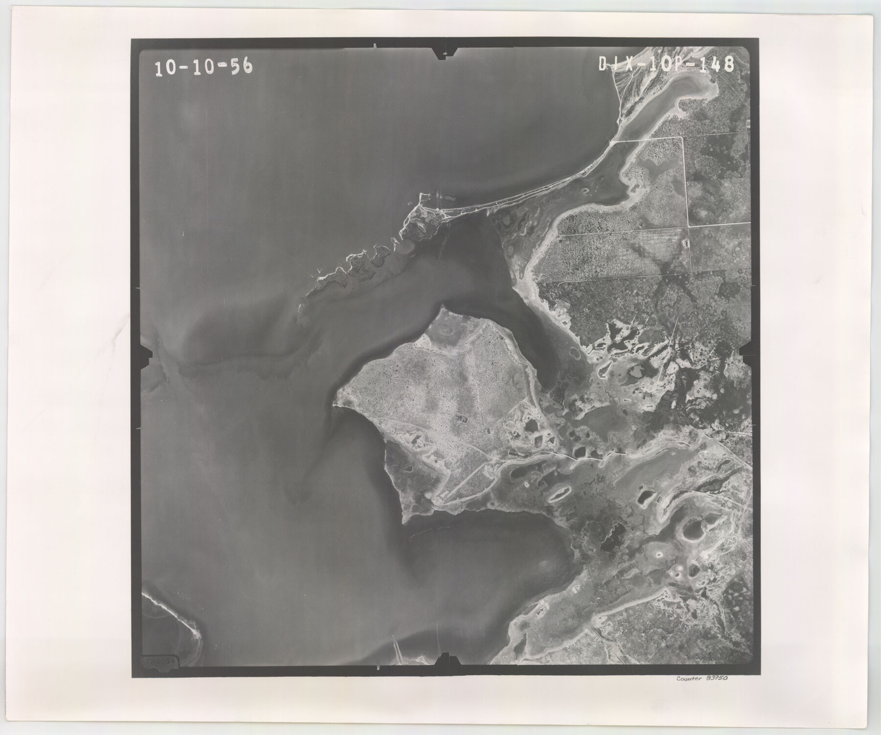
Flight Mission No. DIX-10P, Frame 148, Aransas County
DIX-10P-148
-
Map/Doc
83950
-
Collection
General Map Collection
-
Object Dates
1956/10/10 (Creation Date)
-
People and Organizations
U. S. Department of Agriculture (Publisher)
-
Counties
Aransas
-
Subjects
Aerial Photograph
-
Height x Width
18.6 x 22.3 inches
47.2 x 56.6 cm
-
Comments
Flown by V. L. Beavers and Associates of San Antonio, Texas.
Part of: General Map Collection
Kimble County Working Sketch 31

Print $20.00
- Digital $50.00
Kimble County Working Sketch 31
1944
Size 34.8 x 34.6 inches
Map/Doc 70099
Sabine River, Kane Bridge Sheet

Print $4.00
- Digital $50.00
Sabine River, Kane Bridge Sheet
Size 20.9 x 24.2 inches
Map/Doc 65135
Cherokee County Sketch File 22a

Print $20.00
- Digital $50.00
Cherokee County Sketch File 22a
Size 17.5 x 14.6 inches
Map/Doc 11072
Presidio County Working Sketch 54

Print $20.00
- Digital $50.00
Presidio County Working Sketch 54
1955
Size 26.0 x 20.8 inches
Map/Doc 71731
Military Reconnaissance [showing forts along Rio Grande near Matamoros]
![72911, Military Reconnaissance [showing forts along Rio Grande near Matamoros], General Map Collection](https://historictexasmaps.com/wmedia_w700/maps/72911.tif.jpg)
Print $20.00
- Digital $50.00
Military Reconnaissance [showing forts along Rio Grande near Matamoros]
1846
Size 18.2 x 27.2 inches
Map/Doc 72911
Jack County Sketch File 2

Print $6.00
- Digital $50.00
Jack County Sketch File 2
1856
Size 8.8 x 8.0 inches
Map/Doc 27501
Foard County Rolled Sketch 11

Print $20.00
- Digital $50.00
Foard County Rolled Sketch 11
Size 29.2 x 35.6 inches
Map/Doc 5885
West Part of Edwards County

Print $40.00
- Digital $50.00
West Part of Edwards County
1975
Size 58.7 x 38.5 inches
Map/Doc 73139
Schleicher County Sketch File 25

Print $20.00
- Digital $50.00
Schleicher County Sketch File 25
1937
Size 24.1 x 17.5 inches
Map/Doc 12304
Hemphill County Working Sketch 9

Print $20.00
- Digital $50.00
Hemphill County Working Sketch 9
1965
Size 23.0 x 32.8 inches
Map/Doc 66104
Flight Mission No. DCL-5C, Frame 71, Kenedy County

Print $20.00
- Digital $50.00
Flight Mission No. DCL-5C, Frame 71, Kenedy County
1943
Size 18.5 x 22.2 inches
Map/Doc 85854
Hill County Boundary File 2

Print $18.00
- Digital $50.00
Hill County Boundary File 2
Size 10.6 x 8.1 inches
Map/Doc 54734
You may also like
General Highway Map. Detail of Cities and Towns in Kinney County, Uvalde County [Uvalde and vicinity]
![79557, General Highway Map. Detail of Cities and Towns in Kinney County, Uvalde County [Uvalde and vicinity], Texas State Library and Archives](https://historictexasmaps.com/wmedia_w700/maps/79557.tif.jpg)
Print $20.00
General Highway Map. Detail of Cities and Towns in Kinney County, Uvalde County [Uvalde and vicinity]
1961
Size 18.2 x 24.6 inches
Map/Doc 79557
Andrews County Rolled Sketch 9

Print $20.00
- Digital $50.00
Andrews County Rolled Sketch 9
1930
Size 25.3 x 43.6 inches
Map/Doc 77160
Plat of Surveys in Hidalgo Co.

Print $20.00
- Digital $50.00
Plat of Surveys in Hidalgo Co.
Size 18.2 x 9.3 inches
Map/Doc 405
Dimmit County Working Sketch Graphic Index - sheet B

Print $40.00
- Digital $50.00
Dimmit County Working Sketch Graphic Index - sheet B
1976
Size 41.5 x 49.9 inches
Map/Doc 76525
[Surveys along Lagarta Creek]
![190, [Surveys along Lagarta Creek], General Map Collection](https://historictexasmaps.com/wmedia_w700/maps/190.tif.jpg)
Print $3.00
- Digital $50.00
[Surveys along Lagarta Creek]
1847
Size 10.7 x 15.1 inches
Map/Doc 190
Falls County Sketch File 2

Print $4.00
- Digital $50.00
Falls County Sketch File 2
1854
Size 13.1 x 8.3 inches
Map/Doc 22332
Flight Mission No. CUI-1H, Frame 142, Milam County

Print $20.00
- Digital $50.00
Flight Mission No. CUI-1H, Frame 142, Milam County
1951
Size 18.5 x 22.2 inches
Map/Doc 86608
Brazos River, Brazos River Sheet 1

Print $20.00
- Digital $50.00
Brazos River, Brazos River Sheet 1
1926
Size 20.6 x 24.6 inches
Map/Doc 78264
Hemphill County Sketch File 6

Print $8.00
- Digital $50.00
Hemphill County Sketch File 6
1902
Size 14.2 x 8.6 inches
Map/Doc 26299
Martin County Boundary File 1

Print $10.00
- Digital $50.00
Martin County Boundary File 1
Size 11.2 x 8.7 inches
Map/Doc 56757
[Blocks D and P]
![92490, [Blocks D and P], Twichell Survey Records](https://historictexasmaps.com/wmedia_w700/maps/92490-1.tif.jpg)
Print $20.00
- Digital $50.00
[Blocks D and P]
Size 41.8 x 29.1 inches
Map/Doc 92490
Jasper County Working Sketch 4

Print $20.00
- Digital $50.00
Jasper County Working Sketch 4
1905
Size 20.3 x 13.5 inches
Map/Doc 66466