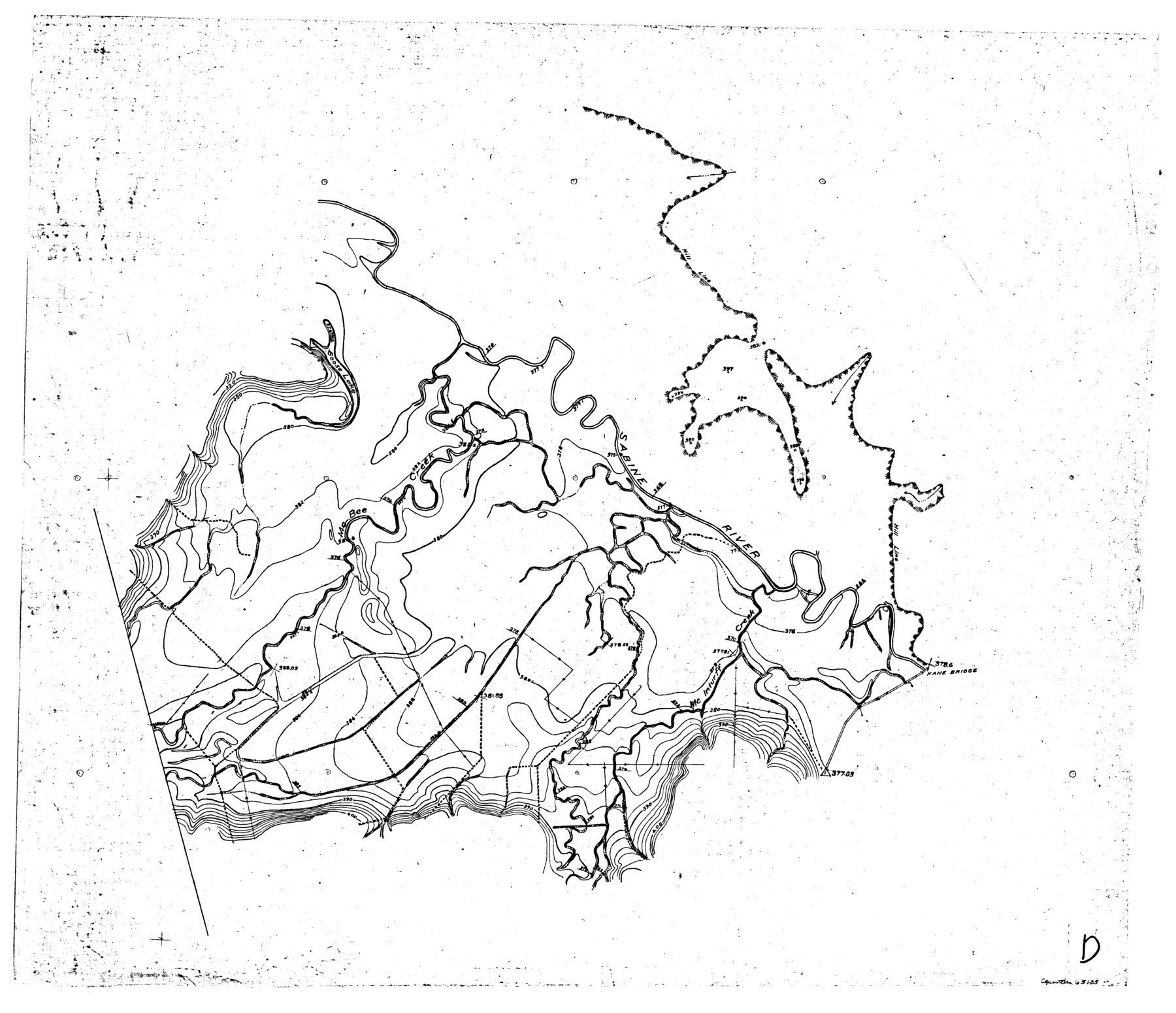
Sabine River, Kane Bridge Sheet
-
Map/Doc
65135
-
Collection
General Map Collection
-
People and Organizations
Texas State Reclamation Department (Publisher)
-
Counties
Van Zandt
-
Subjects
River Surveys Topographic
-
Height x Width
20.9 x 24.2 inches
53.1 x 61.5 cm
-
Comments
Kane Bridge Sheet located west of Rocky Point Crossing Sheet.
Part of: General Map Collection
Brewster County Rolled Sketch OS

Print $20.00
- Digital $50.00
Brewster County Rolled Sketch OS
Size 17.6 x 21.7 inches
Map/Doc 5323
Travis County Working Sketch 24

Print $20.00
- Digital $50.00
Travis County Working Sketch 24
1948
Size 25.6 x 23.1 inches
Map/Doc 69408
Nueces County Sketch File 82

Print $4.00
- Digital $50.00
Nueces County Sketch File 82
2000
Size 11.0 x 8.8 inches
Map/Doc 33165
Comal County Sketch File 9 1/2

Print $6.00
- Digital $50.00
Comal County Sketch File 9 1/2
Size 12.9 x 8.4 inches
Map/Doc 19018
Rusk County Working Sketch 13

Print $20.00
- Digital $50.00
Rusk County Working Sketch 13
1976
Size 33.2 x 39.1 inches
Map/Doc 63648
Howard County Sketch File 9

Print $20.00
- Digital $50.00
Howard County Sketch File 9
Size 19.4 x 15.9 inches
Map/Doc 11797
Parker County Sketch File 49

Print $6.00
- Digital $50.00
Parker County Sketch File 49
Size 10.6 x 8.8 inches
Map/Doc 33618
Ward County Working Sketch 23

Print $40.00
- Digital $50.00
Ward County Working Sketch 23
1953
Size 29.1 x 59.5 inches
Map/Doc 72329

Bandera County Sketch File 23

Print $40.00
- Digital $50.00
Bandera County Sketch File 23
1881
Size 16.1 x 13.7 inches
Map/Doc 10895
[Map of the Hearne and Brazos Valley Railroad from Mumford to Moseley's Ferry]
![64401, [Map of the Hearne and Brazos Valley Railroad from Mumford to Moseley's Ferry], General Map Collection](https://historictexasmaps.com/wmedia_w700/maps/64401.tif.jpg)
Print $40.00
- Digital $50.00
[Map of the Hearne and Brazos Valley Railroad from Mumford to Moseley's Ferry]
1892
Size 20.0 x 71.5 inches
Map/Doc 64401
Colorado County Working Sketch 2

Print $20.00
- Digital $50.00
Colorado County Working Sketch 2
1904
Size 28.8 x 30.1 inches
Map/Doc 68102
You may also like
Pecos County Sketch File 41

Print $32.00
- Digital $50.00
Pecos County Sketch File 41
1919
Size 11.2 x 8.8 inches
Map/Doc 33729

Presidio County Working Sketch 141

Print $20.00
- Digital $50.00
Presidio County Working Sketch 141
1990
Size 27.3 x 19.2 inches
Map/Doc 71819
Cochran County Working Sketch 2

Print $40.00
- Digital $50.00
Cochran County Working Sketch 2
1971
Size 52.9 x 45.3 inches
Map/Doc 68013
The Republic County of Liberty. Boundaries Defined, December 18, 1837

Print $20.00
The Republic County of Liberty. Boundaries Defined, December 18, 1837
2020
Size 19.9 x 21.7 inches
Map/Doc 96208
Reeves County Rolled Sketch 10

Print $20.00
- Digital $50.00
Reeves County Rolled Sketch 10
Size 22.4 x 42.0 inches
Map/Doc 7480
[Surveys along Red River in Hartley County]
![90739, [Surveys along Red River in Hartley County], Twichell Survey Records](https://historictexasmaps.com/wmedia_w700/maps/90739-1.tif.jpg)
Print $20.00
- Digital $50.00
[Surveys along Red River in Hartley County]
Size 22.0 x 16.7 inches
Map/Doc 90739


Jefferson County Rolled Sketch 22

Print $92.00
- Digital $50.00
Jefferson County Rolled Sketch 22
1936
Size 20.4 x 73.1 inches
Map/Doc 9287
Colorado County Sketch File 14

Print $8.00
- Digital $50.00
Colorado County Sketch File 14
1874
Size 12.8 x 8.0 inches
Map/Doc 18939
