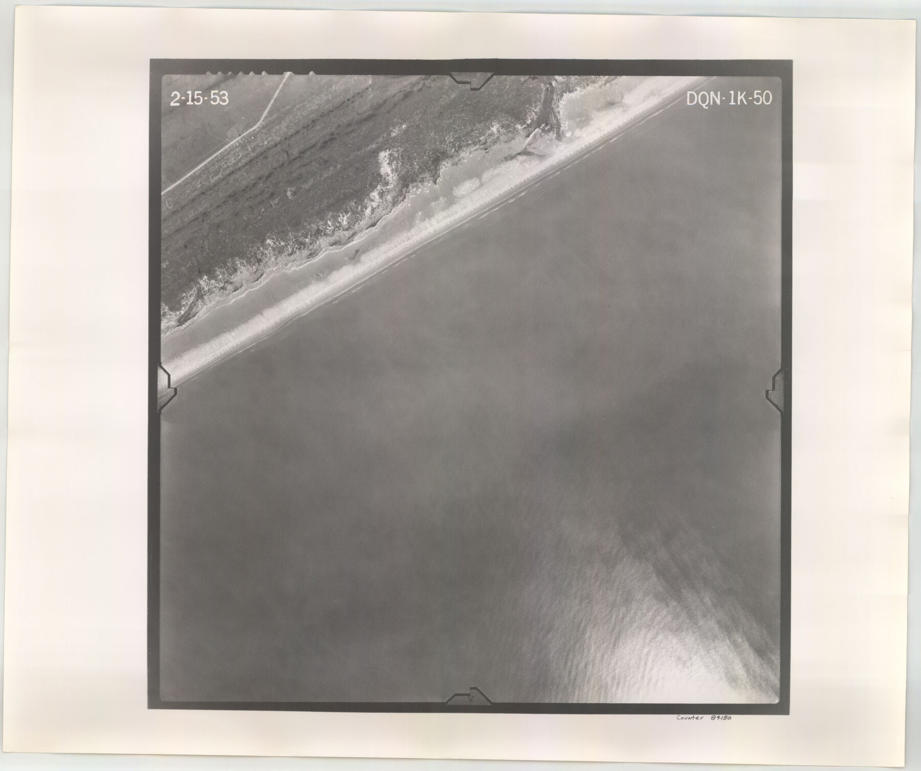
Flight Mission No. DQN-1K, Frame 50, Calhoun County
DQN-1K-50
-
Map/Doc
84150
-
Collection
General Map Collection
-
Object Dates
1953/2/15 (Creation Date)
-
People and Organizations
U. S. Department of Agriculture (Publisher)
-
Counties
Calhoun
-
Subjects
Aerial Photograph
-
Height x Width
18.7 x 22.3 inches
47.5 x 56.6 cm
-
Comments
Flown by Aero Exploration Company of Tulsa, Oklahoma.
Part of: General Map Collection
Leon County Working Sketch 7

Print $20.00
- Digital $50.00
Leon County Working Sketch 7
1913
Size 13.7 x 16.7 inches
Map/Doc 70406
Reeves County Working Sketch 1

Print $40.00
- Digital $50.00
Reeves County Working Sketch 1
Size 48.6 x 38.2 inches
Map/Doc 63443
Shackelford County Working Sketch Graphic Index

Print $20.00
- Digital $50.00
Shackelford County Working Sketch Graphic Index
1972
Size 42.2 x 36.1 inches
Map/Doc 76696
Brazoria County Working Sketch 3

Print $20.00
- Digital $50.00
Brazoria County Working Sketch 3
1915
Size 13.0 x 11.1 inches
Map/Doc 67488
Wharton County

Print $20.00
- Digital $50.00
Wharton County
1946
Size 41.4 x 46.9 inches
Map/Doc 77455
Denton County Working Sketch 10

Print $20.00
- Digital $50.00
Denton County Working Sketch 10
1960
Size 30.2 x 25.0 inches
Map/Doc 68615
Texas Gulf Coast Map from the Sabine River to the Rio Grande as subdivided for mineral development

Print $40.00
- Digital $50.00
Texas Gulf Coast Map from the Sabine River to the Rio Grande as subdivided for mineral development
1948
Size 49.2 x 73.7 inches
Map/Doc 2905
Dickens County Rolled Sketch N

Print $20.00
- Digital $50.00
Dickens County Rolled Sketch N
1909
Size 21.2 x 30.6 inches
Map/Doc 5714
Travis County Boundary File 6

Print $109.00
- Digital $50.00
Travis County Boundary File 6
Size 14.6 x 9.1 inches
Map/Doc 59433
[Sketch for Mineral Application 24072, San Jacinto River]
![65590, [Sketch for Mineral Application 24072, San Jacinto River], General Map Collection](https://historictexasmaps.com/wmedia_w700/maps/65590.tif.jpg)
Print $20.00
- Digital $50.00
[Sketch for Mineral Application 24072, San Jacinto River]
1929
Size 40.8 x 14.7 inches
Map/Doc 65590
Mexico, Mittel-America, Texas

Print $20.00
- Digital $50.00
Mexico, Mittel-America, Texas
1850
Size 14.4 x 17.7 inches
Map/Doc 93710
Goliad County Sketch File 12

Print $18.00
- Digital $50.00
Goliad County Sketch File 12
1857
Size 12.9 x 7.9 inches
Map/Doc 24230
You may also like
Map of the City of Aransas Pass

Print $20.00
- Digital $50.00
Map of the City of Aransas Pass
1905
Size 28.3 x 21.4 inches
Map/Doc 97266
Falls County Boundary File 3

Print $15.00
- Digital $50.00
Falls County Boundary File 3
Size 8.6 x 3.8 inches
Map/Doc 53266
[Surveying Sketch of Houston and Texas Central R. R. Co., Gunter & Munson, Houston & Great Northern R. R. Co., International & Great Northern R. R. Company, et al]
![75763, [Surveying Sketch of Houston and Texas Central R. R. Co., Gunter & Munson, Houston & Great Northern R. R. Co., International & Great Northern R. R. Company, et al], Maddox Collection](https://historictexasmaps.com/wmedia_w700/maps/75763.tif.jpg)
Print $20.00
- Digital $50.00
[Surveying Sketch of Houston and Texas Central R. R. Co., Gunter & Munson, Houston & Great Northern R. R. Co., International & Great Northern R. R. Company, et al]
Size 23.1 x 28.3 inches
Map/Doc 75763
New Map of Texas with the Contiguous American and Mexican States

Print $20.00
New Map of Texas with the Contiguous American and Mexican States
1835
Size 13.3 x 15.9 inches
Map/Doc 88894
[West half of County]
![93188, [West half of County], Twichell Survey Records](https://historictexasmaps.com/wmedia_w700/maps/93188-1.tif.jpg)
Print $40.00
- Digital $50.00
[West half of County]
1914
Size 38.7 x 97.9 inches
Map/Doc 93188
Flight Mission No. DCL-4C, Frame 66, Kenedy County

Print $20.00
- Digital $50.00
Flight Mission No. DCL-4C, Frame 66, Kenedy County
1943
Size 18.6 x 22.3 inches
Map/Doc 85811
Maverick County Sketch File 1 1/2

Print $20.00
- Digital $50.00
Maverick County Sketch File 1 1/2
1875
Size 23.2 x 27.6 inches
Map/Doc 12049
Pecos County Rolled Sketch 50

Print $20.00
- Digital $50.00
Pecos County Rolled Sketch 50
1913
Size 23.5 x 13.0 inches
Map/Doc 7226
Mitchell Estate Subdivision

Print $20.00
- Digital $50.00
Mitchell Estate Subdivision
1953
Size 9.3 x 19.8 inches
Map/Doc 92505
Houston Ship Channel, Alexander Island to Carpenter Bayou

Print $20.00
- Digital $50.00
Houston Ship Channel, Alexander Island to Carpenter Bayou
1973
Size 35.2 x 46.9 inches
Map/Doc 69910
Colorado River, El Campo Sheet

Print $6.00
- Digital $50.00
Colorado River, El Campo Sheet
1939
Size 27.4 x 35.2 inches
Map/Doc 65318
Flight Mission No. DCL-6C, Frame 97, Kenedy County

Print $20.00
- Digital $50.00
Flight Mission No. DCL-6C, Frame 97, Kenedy County
1943
Size 18.6 x 22.3 inches
Map/Doc 85927