Flight Mission No. DQN-2K, Frame 32, Calhoun County
DQN-2K-32
-
Map/Doc
84239
-
Collection
General Map Collection
-
Object Dates
1953/2/15 (Creation Date)
-
People and Organizations
U. S. Department of Agriculture (Publisher)
-
Counties
Calhoun
-
Subjects
Aerial Photograph
-
Height x Width
18.7 x 22.3 inches
47.5 x 56.6 cm
-
Comments
Flown by Aero Exploration Company of Tulsa, Oklahoma.
Part of: General Map Collection
Ochiltree County Working Sketch Graphic Index

Print $20.00
- Digital $50.00
Ochiltree County Working Sketch Graphic Index
1958
Size 41.5 x 32.8 inches
Map/Doc 76656
Right of Way and Track Map, Dayton-Goose Creek Ry. Co., Station 401+20 to Station 612+40

Print $40.00
- Digital $50.00
Right of Way and Track Map, Dayton-Goose Creek Ry. Co., Station 401+20 to Station 612+40
1917
Size 25.4 x 56.4 inches
Map/Doc 64367
Karnes County Sketch File 11

Print $4.00
- Digital $50.00
Karnes County Sketch File 11
1885
Size 10.5 x 8.1 inches
Map/Doc 28602
Starr County Sketch File 8

Print $7.00
- Digital $50.00
Starr County Sketch File 8
Size 10.1 x 12.4 inches
Map/Doc 36858
Yoakum County Sketch File 10a

Print $44.00
- Digital $50.00
Yoakum County Sketch File 10a
1928
Size 48.5 x 33.7 inches
Map/Doc 10437
Jasper County Working Sketch 10

Print $20.00
- Digital $50.00
Jasper County Working Sketch 10
1917
Size 17.4 x 22.7 inches
Map/Doc 66472
Bee County Working Sketch 21

Print $20.00
- Digital $50.00
Bee County Working Sketch 21
1983
Size 32.5 x 37.5 inches
Map/Doc 67271
Coke County Sketch File 37

Print $6.00
- Digital $50.00
Coke County Sketch File 37
2004
Size 11.0 x 8.5 inches
Map/Doc 82988
Houston Co[unty]
![78409, Houston Co[unty], General Map Collection](https://historictexasmaps.com/wmedia_w700/maps/78409.tif.jpg)
Print $20.00
- Digital $50.00
Houston Co[unty]
1896
Size 47.4 x 47.7 inches
Map/Doc 78409
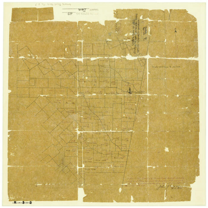
Duval County Rolled Sketch 49
Print $20.00
- Digital $50.00
Duval County Rolled Sketch 49
1875
Size 17.8 x 17.6 inches
Map/Doc 5763
The Military History of Texas Map!

The Military History of Texas Map!
1996
Size 24.2 x 35.1 inches
Map/Doc 96827
Calhoun County Rolled Sketch 35

Print $20.00
- Digital $50.00
Calhoun County Rolled Sketch 35
1929
Size 36.5 x 26.6 inches
Map/Doc 5511
You may also like
Roberts County Working Sketch 23

Print $20.00
- Digital $50.00
Roberts County Working Sketch 23
1979
Size 19.7 x 12.9 inches
Map/Doc 63549
Travis County Sketch File 15

Print $4.00
- Digital $50.00
Travis County Sketch File 15
Size 12.8 x 8.1 inches
Map/Doc 38310
Hood County Sketch File 9

Print $26.00
- Digital $50.00
Hood County Sketch File 9
1859
Size 9.6 x 4.5 inches
Map/Doc 26586
Map Showing Jacob Kuechler's Meander of West Bank of Pecos River in December 1876

Print $20.00
- Digital $50.00
Map Showing Jacob Kuechler's Meander of West Bank of Pecos River in December 1876
Size 18.6 x 17.4 inches
Map/Doc 91669
Part of a map showing resurvey of Capitol Leagues by R. S. Hunnicutt & Behn Cook State Surveyors

Print $20.00
- Digital $50.00
Part of a map showing resurvey of Capitol Leagues by R. S. Hunnicutt & Behn Cook State Surveyors
Size 21.6 x 17.3 inches
Map/Doc 90277
Map of T.C. Spearman's Lands in Gaines, Terry & Yoakum Counties, Texas

Print $20.00
- Digital $50.00
Map of T.C. Spearman's Lands in Gaines, Terry & Yoakum Counties, Texas
1917
Size 44.9 x 37.0 inches
Map/Doc 89779
Culberson County

Print $40.00
- Digital $50.00
Culberson County
1924
Size 32.4 x 48.5 inches
Map/Doc 92559

General Highway Map. Detail of Cities and Towns in Harris County, Texas. City Map [of] Houston, Pasadena, West University Place, Bellaire, Galena Park, Jacinto City, South Houston, South Side Place, Deer Park, and vicinity, Harris County, Texas
![79504, General Highway Map. Detail of Cities and Towns in Harris County, Texas. City Map [of] Houston, Pasadena, West University Place, Bellaire, Galena Park, Jacinto City, South Houston, South Side Place, Deer Park, and vicinity, Harris County, Texas, Texas State Library and Archives](https://historictexasmaps.com/wmedia_w700/maps/79504.tif.jpg)
Print $20.00
General Highway Map. Detail of Cities and Towns in Harris County, Texas. City Map [of] Houston, Pasadena, West University Place, Bellaire, Galena Park, Jacinto City, South Houston, South Side Place, Deer Park, and vicinity, Harris County, Texas
1961
Size 18.1 x 24.8 inches
Map/Doc 79504
Bosque County Sketch File 10

Print $4.00
- Digital $50.00
Bosque County Sketch File 10
1859
Size 12.9 x 8.2 inches
Map/Doc 14757
Hays County Working Sketch Graphic Index

Print $20.00
- Digital $50.00
Hays County Working Sketch Graphic Index
1946
Size 43.7 x 40.9 inches
Map/Doc 76573
Map of Jasper and Newton Counties

Print $20.00
- Digital $50.00
Map of Jasper and Newton Counties
1862
Size 36.5 x 25.8 inches
Map/Doc 3714