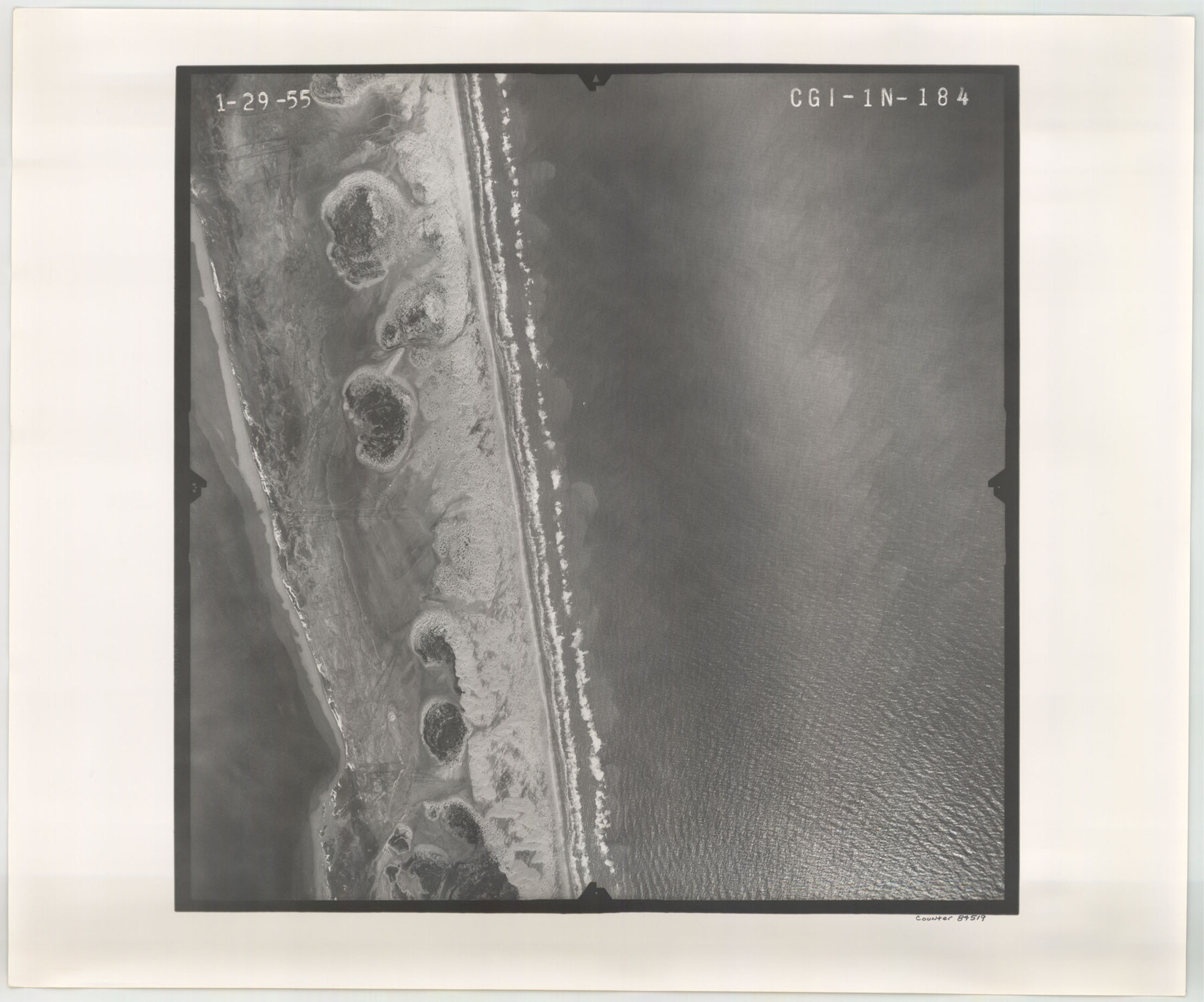
Flight Mission No. CGI-1N, Frame 184, Cameron County
CGI-1N-184
-
Map/Doc
84519
-
Collection
General Map Collection
-
Object Dates
1955/1/29 (Creation Date)
-
People and Organizations
U. S. Department of Agriculture (Publisher)
-
Counties
Cameron
-
Subjects
Aerial Photograph
-
Height x Width
18.5 x 22.2 inches
47.0 x 56.4 cm
-
Comments
Flown by Puckett Aerial Surveys, Inc. of Jackson, Mississippi.
Part of: General Map Collection
Atascosa County Working Sketch 29

Print $20.00
- Digital $50.00
Atascosa County Working Sketch 29
1977
Size 16.8 x 15.1 inches
Map/Doc 67225
Brewster County Rolled Sketch 66

Print $20.00
- Digital $50.00
Brewster County Rolled Sketch 66
1946
Size 33.0 x 36.2 inches
Map/Doc 61785
Wichita County Boundary File 2b

Print $4.00
- Digital $50.00
Wichita County Boundary File 2b
Size 8.9 x 8.8 inches
Map/Doc 59911
Flight Mission No. CRC-2R, Frame 1, Chambers County

Print $20.00
- Digital $50.00
Flight Mission No. CRC-2R, Frame 1, Chambers County
1956
Size 18.7 x 22.5 inches
Map/Doc 84720
Terrell County Working Sketch 33

Print $20.00
- Digital $50.00
Terrell County Working Sketch 33
1945
Size 16.1 x 31.6 inches
Map/Doc 62125
El Paso County Rolled Sketch LH

Print $20.00
- Digital $50.00
El Paso County Rolled Sketch LH
1890
Size 20.3 x 31.7 inches
Map/Doc 5858
Potter County Boundary File 4a

Print $80.00
- Digital $50.00
Potter County Boundary File 4a
Size 15.2 x 99.1 inches
Map/Doc 58011
Harris County Aerial Photograph Index Sheet 9

Print $20.00
- Digital $50.00
Harris County Aerial Photograph Index Sheet 9
1953
Size 22.1 x 16.6 inches
Map/Doc 83703
Navarro County Working Sketch 18

Print $20.00
- Digital $50.00
Navarro County Working Sketch 18
2009
Size 31.9 x 38.0 inches
Map/Doc 89044
Callahan County Sketch File 6

Print $42.00
- Digital $50.00
Callahan County Sketch File 6
1858
Size 8.2 x 6.4 inches
Map/Doc 35859
Young County Sketch File 9a

Print $4.00
- Digital $50.00
Young County Sketch File 9a
1875
Size 12.9 x 8.3 inches
Map/Doc 40866
Nolan County Sketch File 1a

Print $20.00
- Digital $50.00
Nolan County Sketch File 1a
1882
Size 20.7 x 39.4 inches
Map/Doc 10554
You may also like
Brazoria County Working Sketch 23

Print $20.00
- Digital $50.00
Brazoria County Working Sketch 23
1961
Size 37.9 x 32.4 inches
Map/Doc 67508
Mitchell County Working Sketch 5

Print $40.00
- Digital $50.00
Mitchell County Working Sketch 5
1956
Size 60.4 x 28.2 inches
Map/Doc 71062
Presidio County Working Sketch 95

Print $40.00
- Digital $50.00
Presidio County Working Sketch 95
1976
Size 62.8 x 32.0 inches
Map/Doc 71772
[Sketch Showing Surveys on Pease River in Hardeman County, Texas]
![10760, [Sketch Showing Surveys on Pease River in Hardeman County, Texas], Maddox Collection](https://historictexasmaps.com/wmedia_w700/maps/10760.tif.jpg)
Print $20.00
- Digital $50.00
[Sketch Showing Surveys on Pease River in Hardeman County, Texas]
Size 19.2 x 37.5 inches
Map/Doc 10760
The Chief Justice County of Jasper. April 21, 1837

Print $20.00
The Chief Justice County of Jasper. April 21, 1837
2020
Size 18.3 x 21.7 inches
Map/Doc 96052
Lubbock Cemetery

Print $40.00
- Digital $50.00
Lubbock Cemetery
Size 42.2 x 53.7 inches
Map/Doc 89912
Val Verde County Sketch File Z8

Print $20.00
- Digital $50.00
Val Verde County Sketch File Z8
1884
Size 25.2 x 19.9 inches
Map/Doc 12553
Ector County Working Sketch 26

Print $20.00
- Digital $50.00
Ector County Working Sketch 26
1961
Size 30.8 x 43.6 inches
Map/Doc 68869
Jim Wells County Working Sketch 2

Print $20.00
- Digital $50.00
Jim Wells County Working Sketch 2
1931
Size 17.0 x 18.0 inches
Map/Doc 66600
Right of Way Map Fort Worth & Denver City Railroad through Hardeman County

Print $40.00
- Digital $50.00
Right of Way Map Fort Worth & Denver City Railroad through Hardeman County
1885
Size 23.8 x 121.2 inches
Map/Doc 64424
North Part of El Paso Co.

Print $20.00
- Digital $50.00
North Part of El Paso Co.
1977
Size 36.5 x 47.8 inches
Map/Doc 95490
Kent County Working Sketch 14

Print $20.00
- Digital $50.00
Kent County Working Sketch 14
1965
Size 28.2 x 35.4 inches
Map/Doc 70021