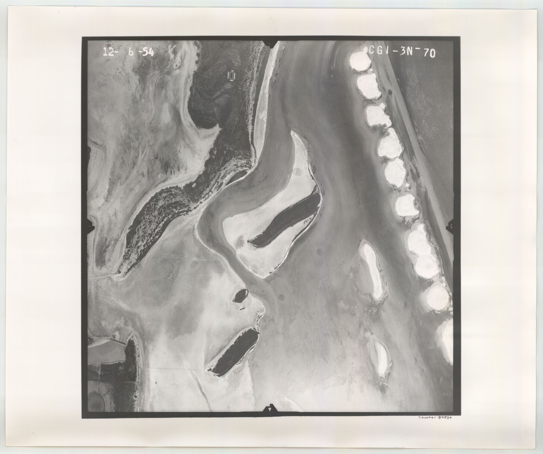
Flight Mission No. CGI-3N, Frame 70, Cameron County
CGI-3N-70
-
Map/Doc
84564
-
Collection
General Map Collection
-
Object Dates
1954/12/6 (Creation Date)
-
People and Organizations
U. S. Department of Agriculture (Publisher)
-
Counties
Cameron
-
Subjects
Aerial Photograph
-
Height x Width
18.7 x 22.3 inches
47.5 x 56.6 cm
-
Comments
Flown by Puckett Aerial Surveys, Inc. of Jackson, Mississippi.
Part of: General Map Collection
Flight Mission No. BRA-9M, Frame 81, Jefferson County

Print $20.00
- Digital $50.00
Flight Mission No. BRA-9M, Frame 81, Jefferson County
1953
Size 18.3 x 22.6 inches
Map/Doc 85664
Uvalde County Working Sketch 64, revised

Print $20.00
- Digital $50.00
Uvalde County Working Sketch 64, revised
1998
Size 34.2 x 35.5 inches
Map/Doc 72135
Fisher County Sketch File 6

Print $6.00
- Digital $50.00
Fisher County Sketch File 6
Size 9.7 x 15.9 inches
Map/Doc 22563
Presidio County Sketch File 59

Print $12.00
- Digital $50.00
Presidio County Sketch File 59
1935
Size 8.7 x 7.5 inches
Map/Doc 34637
Fort Bend County State Real Property Sketch 17

Print $20.00
- Digital $50.00
Fort Bend County State Real Property Sketch 17
1985
Size 17.8 x 22.8 inches
Map/Doc 61665
No. 2 Chart of Corpus Christi Pass, Texas

Print $20.00
- Digital $50.00
No. 2 Chart of Corpus Christi Pass, Texas
1878
Size 18.3 x 27.2 inches
Map/Doc 73028
Brewster County Sketch File N-1

Print $40.00
- Digital $50.00
Brewster County Sketch File N-1
Size 16.6 x 22.1 inches
Map/Doc 10961
Jefferson County Rolled Sketch 8A

Print $20.00
- Digital $50.00
Jefferson County Rolled Sketch 8A
1928
Size 35.6 x 46.3 inches
Map/Doc 76030
Jim Hogg County Rolled Sketch 4

Print $20.00
- Digital $50.00
Jim Hogg County Rolled Sketch 4
Size 17.0 x 30.5 inches
Map/Doc 6440
Hutchinson County Sketch File 5a

Print $6.00
- Digital $50.00
Hutchinson County Sketch File 5a
1900
Size 9.7 x 6.4 inches
Map/Doc 27195
Bandera County Working Sketch 16a

Print $20.00
- Digital $50.00
Bandera County Working Sketch 16a
1941
Size 12.8 x 22.1 inches
Map/Doc 67609
Liberty County Working Sketch 1

Print $20.00
- Digital $50.00
Liberty County Working Sketch 1
Size 26.5 x 29.7 inches
Map/Doc 70460
You may also like
Fayette County Working Sketch 5

Print $20.00
- Digital $50.00
Fayette County Working Sketch 5
1981
Size 16.2 x 14.6 inches
Map/Doc 69169
[Surveying Sketch of Encibio Almaguie, T. W. N. G. R. R. Co., et al in Hutchinson County, Texas]
![93791, [Surveying Sketch of Encibio Almaguie, T. W. N. G. R. R. Co., et al in Hutchinson County, Texas], Maddox Collection](https://historictexasmaps.com/wmedia_w700/maps/93791.tif.jpg)
Print $20.00
- Digital $50.00
[Surveying Sketch of Encibio Almaguie, T. W. N. G. R. R. Co., et al in Hutchinson County, Texas]
Map/Doc 93791
Gregg County Sketch File 1C

Print $6.00
- Digital $50.00
Gregg County Sketch File 1C
1847
Size 7.8 x 11.6 inches
Map/Doc 24540
Presidio County Sketch File 118

Print $16.00
- Digital $50.00
Presidio County Sketch File 118
Size 14.3 x 8.9 inches
Map/Doc 34919
Upton County Working Sketch 22

Print $40.00
- Digital $50.00
Upton County Working Sketch 22
1951
Size 37.5 x 48.7 inches
Map/Doc 69518

Ward County Sketch File 12

Print $4.00
- Digital $50.00
Ward County Sketch File 12
Size 14.3 x 8.8 inches
Map/Doc 39638
Real County Rolled Sketch 3

Print $20.00
- Digital $50.00
Real County Rolled Sketch 3
1955
Size 14.6 x 23.3 inches
Map/Doc 7453
Flight Mission No. CGN-3P, Frame 23, San Patricio County

Print $20.00
- Digital $50.00
Flight Mission No. CGN-3P, Frame 23, San Patricio County
1956
Size 18.6 x 22.2 inches
Map/Doc 86981
Map of the Gainesville, Henrietta & Western Railway

Print $20.00
- Digital $50.00
Map of the Gainesville, Henrietta & Western Railway
1887
Size 9.6 x 41.7 inches
Map/Doc 64482
Bosque County Working Sketch 17

Print $20.00
- Digital $50.00
Bosque County Working Sketch 17
1975
Size 18.3 x 21.1 inches
Map/Doc 67450
Presidio County Working Sketch 39

Print $20.00
- Digital $50.00
Presidio County Working Sketch 39
1948
Size 44.6 x 43.4 inches
Map/Doc 71716