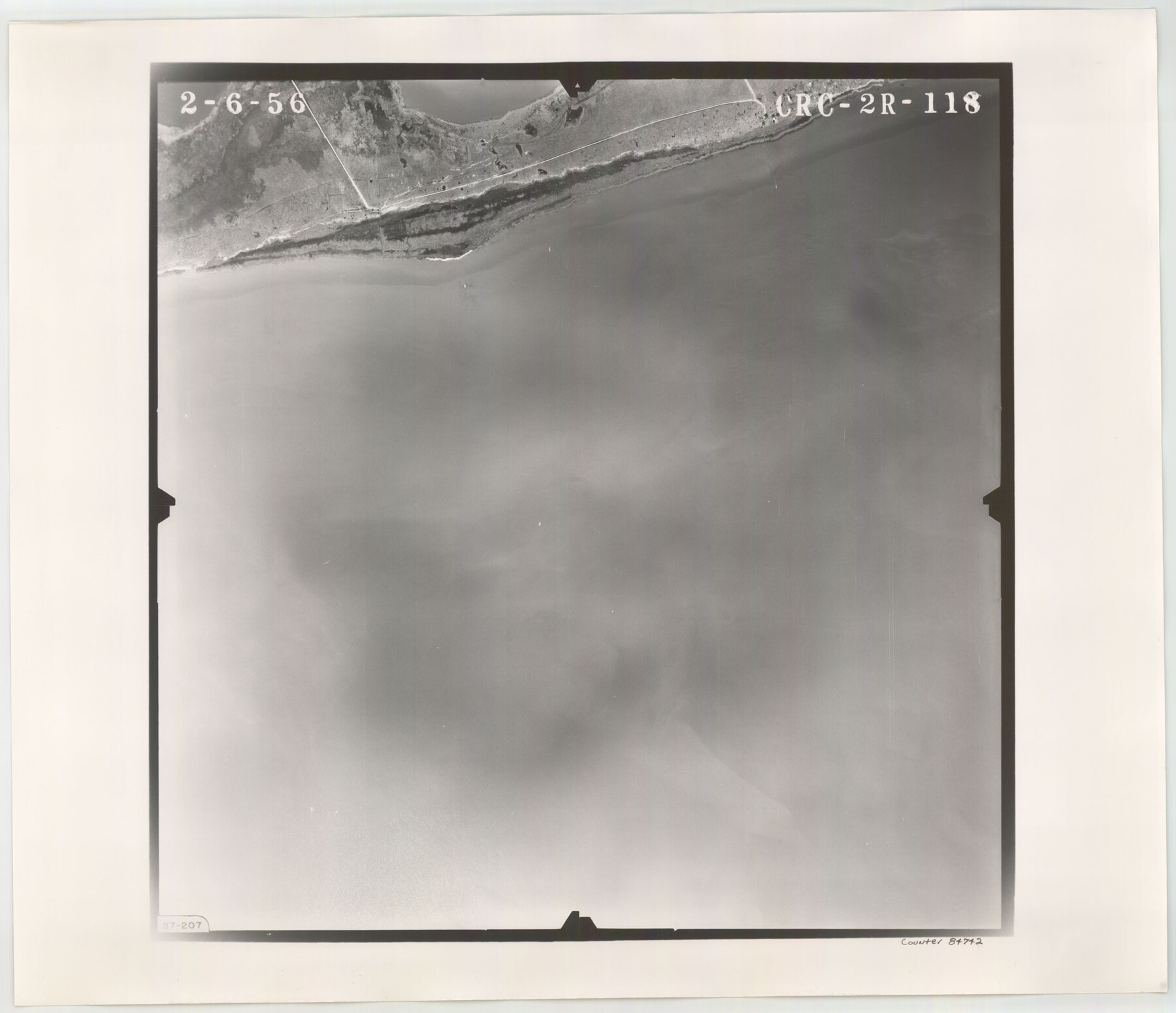
Flight Mission No. CRC-2R, Frame 118, Chambers County
CRC-2R-118
-
Map/Doc
84742
-
Collection
General Map Collection
-
Object Dates
1956/2/6 (Creation Date)
-
People and Organizations
U. S. Department of Agriculture (Publisher)
-
Counties
Chambers
-
Subjects
Aerial Photograph
-
Height x Width
18.6 x 21.6 inches
47.2 x 54.9 cm
-
Comments
Flown by Jack Ammann Photogrammetric Engineers, Inc. of San Antonio, Texas.
Part of: General Map Collection
Flight Mission No. DQN-7K, Frame 31, Calhoun County

Print $20.00
- Digital $50.00
Flight Mission No. DQN-7K, Frame 31, Calhoun County
1953
Size 18.5 x 22.1 inches
Map/Doc 84469
Tyler County Sketch File 4

Print $4.00
- Digital $50.00
Tyler County Sketch File 4
1857
Size 13.9 x 8.4 inches
Map/Doc 38628
Kimble County Rolled Sketch 15

Print $59.00
- Digital $50.00
Kimble County Rolled Sketch 15
1886
Size 28.3 x 42.1 inches
Map/Doc 6508
Flight Mission No. CRC-1R, Frame 36, Chambers County

Print $20.00
- Digital $50.00
Flight Mission No. CRC-1R, Frame 36, Chambers County
1956
Size 18.7 x 22.3 inches
Map/Doc 84704
Armstrong County Sketch File A-14

Print $60.00
- Digital $50.00
Armstrong County Sketch File A-14
Size 17.4 x 20.2 inches
Map/Doc 10855
Texas, Copano Bay, Port Bay

Print $40.00
- Digital $50.00
Texas, Copano Bay, Port Bay
1934
Size 32.9 x 48.8 inches
Map/Doc 73432
Castro County Working Sketch 1

Print $20.00
- Digital $50.00
Castro County Working Sketch 1
Size 22.8 x 17.7 inches
Map/Doc 67896
La Salle County Rolled Sketch 23

Print $40.00
- Digital $50.00
La Salle County Rolled Sketch 23
1956
Size 34.5 x 48.0 inches
Map/Doc 9559
Gaines County Sketch File 16

Print $20.00
- Digital $50.00
Gaines County Sketch File 16
1958
Size 22.0 x 17.4 inches
Map/Doc 11526
Johnson County Working Sketch 5

Print $20.00
- Digital $50.00
Johnson County Working Sketch 5
1950
Size 25.8 x 22.3 inches
Map/Doc 66618
Eastland County Rolled Sketch 21

Print $20.00
- Digital $50.00
Eastland County Rolled Sketch 21
1982
Size 40.2 x 44.5 inches
Map/Doc 8827
Freestone County Boundary File 30c

Print $18.00
- Digital $50.00
Freestone County Boundary File 30c
Size 7.9 x 8.8 inches
Map/Doc 53599
You may also like
Morris County Rolled Sketch 2A

Print $20.00
- Digital $50.00
Morris County Rolled Sketch 2A
Size 24.4 x 19.4 inches
Map/Doc 10245
Kimble County Working Sketch 54

Print $20.00
- Digital $50.00
Kimble County Working Sketch 54
1954
Size 32.3 x 23.1 inches
Map/Doc 70122
Wichita County Rolled Sketch 18

Print $20.00
- Digital $50.00
Wichita County Rolled Sketch 18
1924
Size 30.0 x 40.5 inches
Map/Doc 8253

Map of Llano County, Texas

Print $20.00
- Digital $50.00
Map of Llano County, Texas
1879
Size 24.6 x 22.9 inches
Map/Doc 568
Upton County Rolled Sketch 18

Print $40.00
- Digital $50.00
Upton County Rolled Sketch 18
1933
Size 38.3 x 55.5 inches
Map/Doc 10039
Guadalupe County Sketch File 8

Print $7.00
- Digital $50.00
Guadalupe County Sketch File 8
1871
Size 10.4 x 8.3 inches
Map/Doc 24674
Brewster County Rolled Sketch 121A

Print $40.00
- Digital $50.00
Brewster County Rolled Sketch 121A
1946
Size 37.4 x 54.5 inches
Map/Doc 8518
Hays County Sketch File A

Print $6.00
- Digital $50.00
Hays County Sketch File A
1881
Size 10.8 x 8.4 inches
Map/Doc 26186
Denton County Sketch File 33

Print $4.00
- Digital $50.00
Denton County Sketch File 33
Size 8.2 x 12.4 inches
Map/Doc 20760
The Mexican Municipality of Colorado. Petition, December 30. 1835

Print $20.00
The Mexican Municipality of Colorado. Petition, December 30. 1835
2020
Size 15.4 x 21.6 inches
Map/Doc 96018
Lavaca County Working Sketch 17

Print $20.00
- Digital $50.00
Lavaca County Working Sketch 17
1979
Size 34.7 x 44.6 inches
Map/Doc 70370