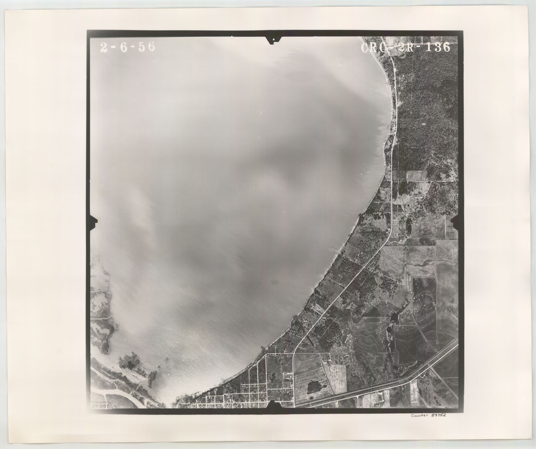
Flight Mission No. CRC-2R, Frame 136, Chambers County
CRC-2R-136
-
Map/Doc
84752
-
Collection
General Map Collection
-
Object Dates
1956/2/6 (Creation Date)
-
People and Organizations
U. S. Department of Agriculture (Publisher)
-
Counties
Chambers
-
Subjects
Aerial Photograph
-
Height x Width
18.7 x 22.4 inches
47.5 x 56.9 cm
-
Comments
Flown by Jack Ammann Photogrammetric Engineers, Inc. of San Antonio, Texas.
Part of: General Map Collection
Wilbarger County Sketch File 27

Print $4.00
- Digital $50.00
Wilbarger County Sketch File 27
1894
Size 14.0 x 8.5 inches
Map/Doc 40229
Kimble County Working Sketch 8

Print $20.00
- Digital $50.00
Kimble County Working Sketch 8
1918
Size 27.4 x 12.9 inches
Map/Doc 70076
Nueces County Sketch File 76

Print $54.00
- Digital $50.00
Nueces County Sketch File 76
1992
Size 11.0 x 8.6 inches
Map/Doc 33032
Aransas County Rolled Sketch 11

Print $20.00
- Digital $50.00
Aransas County Rolled Sketch 11
Size 42.0 x 36.4 inches
Map/Doc 8410
Presidio County Working Sketch Graphic Index, West Part, Sheet 2 (Sketches 75 to Most Recent)

Print $20.00
- Digital $50.00
Presidio County Working Sketch Graphic Index, West Part, Sheet 2 (Sketches 75 to Most Recent)
1974
Size 40.7 x 31.9 inches
Map/Doc 76673

Robertson County Working Sketch 7

Print $20.00
- Digital $50.00
Robertson County Working Sketch 7
1983
Size 36.6 x 38.3 inches
Map/Doc 78228
Webb County Rolled Sketch 19

Print $40.00
- Digital $50.00
Webb County Rolled Sketch 19
1928
Size 27.9 x 53.7 inches
Map/Doc 10119
Angelina County Working Sketch 53

Print $40.00
- Digital $50.00
Angelina County Working Sketch 53
1988
Size 42.9 x 58.5 inches
Map/Doc 67137
Outer Continental Shelf Leasing Maps (Louisiana Offshore Operations)

Print $20.00
- Digital $50.00
Outer Continental Shelf Leasing Maps (Louisiana Offshore Operations)
1959
Size 17.8 x 14.0 inches
Map/Doc 76106
Deaf Smith County Sketch File 1a

Print $21.00
- Digital $50.00
Deaf Smith County Sketch File 1a
Size 11.5 x 9.2 inches
Map/Doc 20616
Presidio County Working Sketch 81

Print $20.00
- Digital $50.00
Presidio County Working Sketch 81
1967
Size 18.9 x 17.4 inches
Map/Doc 71758
You may also like
Right of Way and Track Map of The Wichita Falls & Southern Railroad Company

Print $40.00
- Digital $50.00
Right of Way and Track Map of The Wichita Falls & Southern Railroad Company
1942
Size 24.4 x 56.4 inches
Map/Doc 64515
Sterling County Sketch File 17b

Print $4.00
- Digital $50.00
Sterling County Sketch File 17b
Size 8.6 x 12.7 inches
Map/Doc 37167
Map of the Country upon Upper Red-River explored in 1852 by Capt. R.B. Marcy 5th U.S. Infy. assisted by Bvt. Capt. G.B. McClellan U.S. Engs. under orders from the Head Quarters of the U.S. Army

Print $20.00
- Digital $50.00
Map of the Country upon Upper Red-River explored in 1852 by Capt. R.B. Marcy 5th U.S. Infy. assisted by Bvt. Capt. G.B. McClellan U.S. Engs. under orders from the Head Quarters of the U.S. Army
Size 18.7 x 36.0 inches
Map/Doc 95320
Marion County Sketch File 1

Print $28.00
- Digital $50.00
Marion County Sketch File 1
1867
Size 12.6 x 8.1 inches
Map/Doc 30554
Flight Mission No. CRE-2R, Frame 88, Jackson County

Print $20.00
- Digital $50.00
Flight Mission No. CRE-2R, Frame 88, Jackson County
1956
Size 15.9 x 15.9 inches
Map/Doc 85360
Shelby County Working Sketch 17

Print $20.00
- Digital $50.00
Shelby County Working Sketch 17
1957
Size 20.4 x 31.0 inches
Map/Doc 63870
Dickens County Sketch File 1

Print $20.00
- Digital $50.00
Dickens County Sketch File 1
1879
Size 18.2 x 15.5 inches
Map/Doc 11315

Galveston County Sketch File 28

Print $42.00
- Digital $50.00
Galveston County Sketch File 28
1913
Size 22.2 x 5.4 inches
Map/Doc 23410
Flight Mission No. CRE-1R, Frame 136, Jackson County

Print $20.00
- Digital $50.00
Flight Mission No. CRE-1R, Frame 136, Jackson County
1956
Size 16.0 x 15.9 inches
Map/Doc 85344
Hood County Working Sketch 15

Print $20.00
- Digital $50.00
Hood County Working Sketch 15
1985
Size 30.0 x 28.2 inches
Map/Doc 66209
Montgomery County Rolled Sketch 26

Print $40.00
- Digital $50.00
Montgomery County Rolled Sketch 26
Size 50.0 x 65.4 inches
Map/Doc 9535