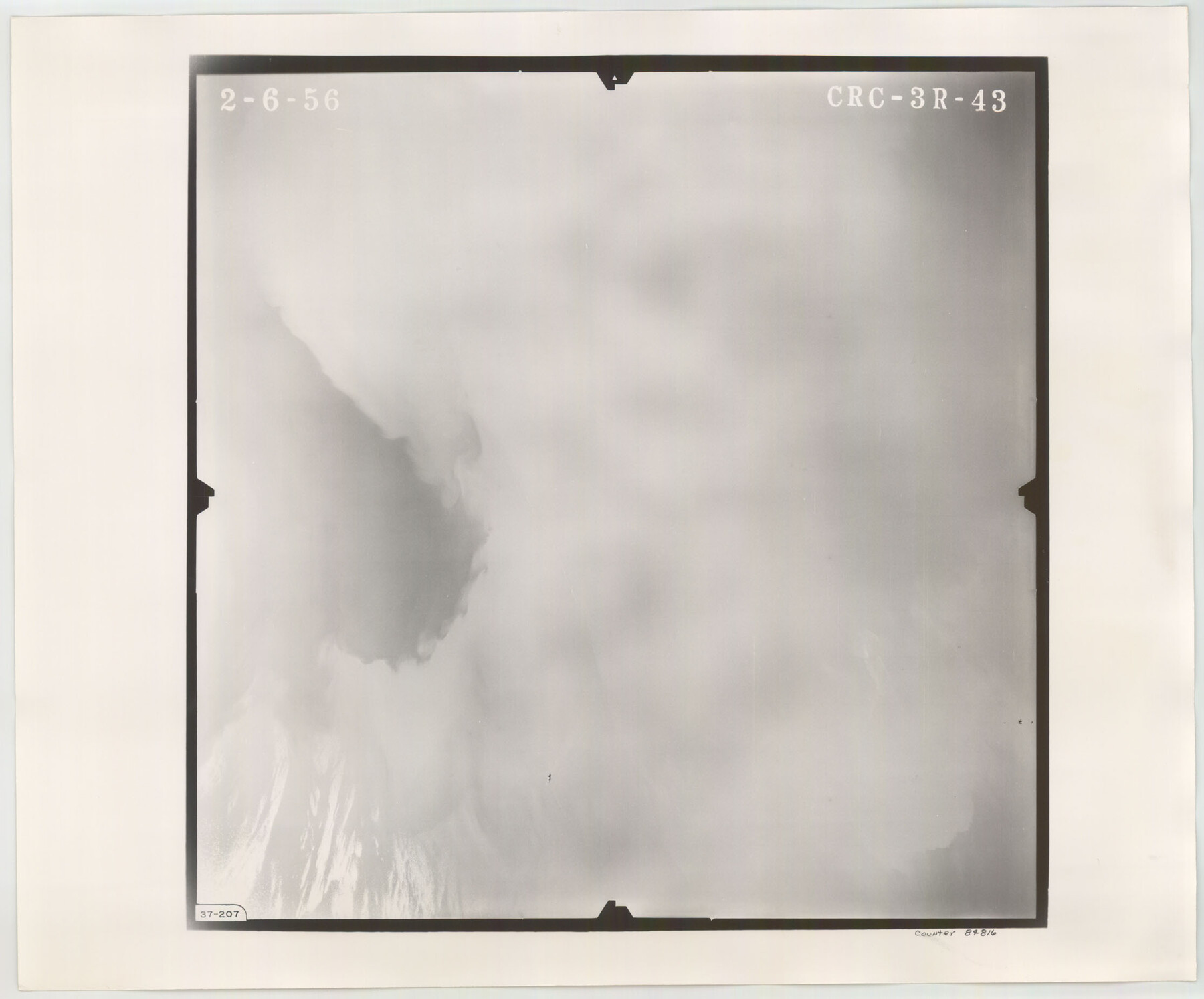
Flight Mission No. CRC-3R, Frame 43, Chambers County
CRC-3R-43
-
Map/Doc
84816
-
Collection
General Map Collection
-
Object Dates
1956/2/6 (Creation Date)
-
People and Organizations
U. S. Department of Agriculture (Publisher)
-
Counties
Chambers
-
Subjects
Aerial Photograph
-
Height x Width
18.5 x 22.3 inches
47.0 x 56.6 cm
-
Comments
Flown by Jack Ammann Photogrammetric Engineers, Inc. of San Antonio, Texas.
Part of: General Map Collection
Kendall County Sketch File 7

Print $4.00
- Digital $50.00
Kendall County Sketch File 7
1848
Size 8.2 x 10.4 inches
Map/Doc 28688
Duval County Working Sketch 43

Print $20.00
- Digital $50.00
Duval County Working Sketch 43
1977
Size 30.8 x 30.5 inches
Map/Doc 68767
Bowie County Working Sketch 24

Print $20.00
- Digital $50.00
Bowie County Working Sketch 24
1974
Size 47.1 x 40.1 inches
Map/Doc 67428
Johnson County Sketch File 23

Print $22.00
- Digital $50.00
Johnson County Sketch File 23
1857
Size 8.1 x 12.6 inches
Map/Doc 28456
Aransas County Rolled Sketch 16

Print $40.00
- Digital $50.00
Aransas County Rolled Sketch 16
1965
Size 45.9 x 92.9 inches
Map/Doc 9005
Amistad International Reservoir on Rio Grande 65

Print $20.00
- Digital $50.00
Amistad International Reservoir on Rio Grande 65
1949
Size 28.2 x 39.8 inches
Map/Doc 73350

Photostat of section of hydrographic surveys H-5399, H-4822, H-470

Print $20.00
- Digital $50.00
Photostat of section of hydrographic surveys H-5399, H-4822, H-470
1933
Size 18.4 x 25.8 inches
Map/Doc 61160

El Paso County Rolled Sketch 16

Print $40.00
- Digital $50.00
El Paso County Rolled Sketch 16
1885
Size 21.5 x 52.0 inches
Map/Doc 8855
Hudspeth County Sketch File 22

Print $10.00
- Digital $50.00
Hudspeth County Sketch File 22
1935
Size 11.2 x 8.7 inches
Map/Doc 26974
Val Verde County Working Sketch 107

Print $20.00
- Digital $50.00
Val Verde County Working Sketch 107
Size 32.8 x 43.5 inches
Map/Doc 72242
You may also like
Bowie County Working Sketch 13

Print $20.00
- Digital $50.00
Bowie County Working Sketch 13
1959
Size 36.9 x 37.0 inches
Map/Doc 67417
[Kenney's sketch of the surveys in Dickens and Motley Counties]

Print $20.00
- Digital $50.00
[Kenney's sketch of the surveys in Dickens and Motley Counties]
1905
Size 20.1 x 15.7 inches
Map/Doc 367
PSL Field Notes for Block 54 1/2 in Culberson and Hudspeth Counties, and Blocks 44, 45 1/2, 46, 47 1/2, 48, 49, 50, 51, 52 1/2, 53 1/2, 55 1/2, 56, and 57 in Hudspeth County

PSL Field Notes for Block 54 1/2 in Culberson and Hudspeth Counties, and Blocks 44, 45 1/2, 46, 47 1/2, 48, 49, 50, 51, 52 1/2, 53 1/2, 55 1/2, 56, and 57 in Hudspeth County
Map/Doc 81661
[E.L.R.R.R.R.Co. Blocks A-1, 1, H, Y, Public School Land Blocks C-40, C-41, C-39, C-42]
![92904, [E.L.R.R.R.R.Co. Blocks A-1, 1, H, Y, Public School Land Blocks C-40, C-41, C-39, C-42], Twichell Survey Records](https://historictexasmaps.com/wmedia_w700/maps/92904-1.tif.jpg)
Print $20.00
- Digital $50.00
[E.L.R.R.R.R.Co. Blocks A-1, 1, H, Y, Public School Land Blocks C-40, C-41, C-39, C-42]
Size 21.6 x 21.2 inches
Map/Doc 92904
Louisiana and Texas Intracoastal Waterway Proposed Extension to Rio Grande Valley

Print $20.00
- Digital $50.00
Louisiana and Texas Intracoastal Waterway Proposed Extension to Rio Grande Valley
1941
Size 28.1 x 41.1 inches
Map/Doc 61891
Hutchinson County Rolled Sketch 44-1

Print $20.00
- Digital $50.00
Hutchinson County Rolled Sketch 44-1
2002
Size 24.0 x 36.0 inches
Map/Doc 77537
Texas Boundary Line

Print $20.00
- Digital $50.00
Texas Boundary Line
Size 21.2 x 11.8 inches
Map/Doc 92068
Terrell County Rolled Sketch 34

Print $20.00
- Digital $50.00
Terrell County Rolled Sketch 34
1937
Size 29.3 x 25.3 inches
Map/Doc 7939
Runnels County Sketch File C

Print $4.00
Runnels County Sketch File C
Size 14.2 x 8.8 inches
Map/Doc 35457
Archer County Rolled Sketch 9

Print $20.00
- Digital $50.00
Archer County Rolled Sketch 9
1891
Size 35.9 x 30.6 inches
Map/Doc 5104
El Paso County Working Sketch 34

Print $40.00
- Digital $50.00
El Paso County Working Sketch 34
1974
Size 53.4 x 34.7 inches
Map/Doc 69056
Titus County Sketch File 6

Print $6.00
- Digital $50.00
Titus County Sketch File 6
1853
Size 16.5 x 8.3 inches
Map/Doc 38140