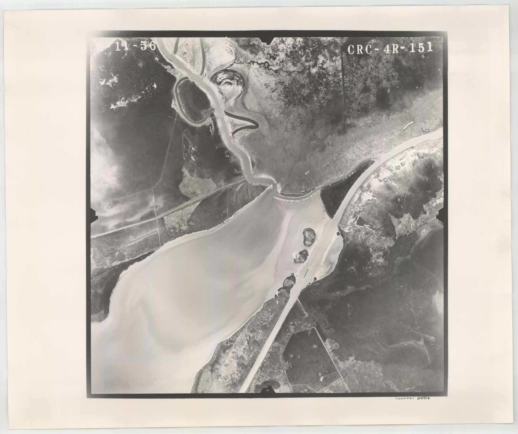
Flight Mission No. CRC-4R, Frame 151, Chambers County
CRC-4R-151
-
Map/Doc
84914
-
Collection
General Map Collection
-
Object Dates
1956/2/11 (Creation Date)
-
People and Organizations
U. S. Department of Agriculture (Publisher)
-
Counties
Chambers
-
Subjects
Aerial Photograph
-
Height x Width
18.8 x 22.4 inches
47.8 x 56.9 cm
-
Comments
Flown by Jack Ammann Photogrammetric Engineers, Inc. of San Antonio, Texas.
Part of: General Map Collection
Matagorda County NRC Article 33.136 Location Key Sheet

Print $20.00
- Digital $50.00
Matagorda County NRC Article 33.136 Location Key Sheet
1973
Size 27.0 x 23.0 inches
Map/Doc 88832
Dallam County Working Sketch 2

Print $20.00
- Digital $50.00
Dallam County Working Sketch 2
1906
Size 38.5 x 24.1 inches
Map/Doc 68587
Panola County Sketch File 11

Print $6.00
- Digital $50.00
Panola County Sketch File 11
1872
Size 10.3 x 13.2 inches
Map/Doc 33467
Aransas Pass to Baffin Bay

Print $20.00
- Digital $50.00
Aransas Pass to Baffin Bay
1961
Size 42.1 x 35.4 inches
Map/Doc 73414
Flight Mission No. DAG-21K, Frame 41, Matagorda County

Print $20.00
- Digital $50.00
Flight Mission No. DAG-21K, Frame 41, Matagorda County
1952
Size 18.6 x 19.3 inches
Map/Doc 86408
Hardin County Sketch File 37

Print $20.00
- Digital $50.00
Hardin County Sketch File 37
Size 20.4 x 17.7 inches
Map/Doc 11633
Cochran County Sketch File 4

Print $20.00
- Digital $50.00
Cochran County Sketch File 4
1931
Size 24.9 x 22.1 inches
Map/Doc 11100
Hutchinson County Working Sketch 12

Print $20.00
- Digital $50.00
Hutchinson County Working Sketch 12
1925
Size 20.6 x 29.9 inches
Map/Doc 66370
Winkler County Working Sketch 9

Print $40.00
- Digital $50.00
Winkler County Working Sketch 9
1950
Size 42.9 x 50.0 inches
Map/Doc 72603
Marion County Rolled Sketch 5

Print $20.00
- Digital $50.00
Marion County Rolled Sketch 5
1961
Size 22.6 x 20.5 inches
Map/Doc 6658

Survey of the Mexican Lines of Defence at Cerro Gordo, and the lines of attack of the American Army under Major General Scott, on the 17th and 18th of April, 1847

Print $20.00
- Digital $50.00
Survey of the Mexican Lines of Defence at Cerro Gordo, and the lines of attack of the American Army under Major General Scott, on the 17th and 18th of April, 1847
1847
Size 15.3 x 21.6 inches
Map/Doc 95830
You may also like
Yellow House Land Company's Subdivision of State Capitol Leagues Hockley and Lamb Counties, Texas

Print $20.00
- Digital $50.00
Yellow House Land Company's Subdivision of State Capitol Leagues Hockley and Lamb Counties, Texas
Size 22.4 x 23.0 inches
Map/Doc 92206
Harris County Working Sketch 79

Print $20.00
- Digital $50.00
Harris County Working Sketch 79
1968
Size 22.4 x 22.9 inches
Map/Doc 65971
The Principal Transportation Lines extending west from Boston, New York, Philadelphia, and Baltimore

Print $20.00
- Digital $50.00
The Principal Transportation Lines extending west from Boston, New York, Philadelphia, and Baltimore
1881
Size 17.1 x 24.4 inches
Map/Doc 95908
Marion County Working Sketch 9

Print $20.00
- Digital $50.00
Marion County Working Sketch 9
1940
Size 23.5 x 25.5 inches
Map/Doc 70784
Blucher's Directory Map of Corpus Christi and Road Map of Nueces County

Print $20.00
- Digital $50.00
Blucher's Directory Map of Corpus Christi and Road Map of Nueces County
1945
Size 22.7 x 34.4 inches
Map/Doc 94105
Jasper County Working Sketch 24

Print $40.00
- Digital $50.00
Jasper County Working Sketch 24
1948
Size 44.2 x 54.9 inches
Map/Doc 69651
Val Verde County Working Sketch 117

Print $20.00
- Digital $50.00
Val Verde County Working Sketch 117
1993
Size 30.9 x 37.0 inches
Map/Doc 82844
Traveller's Map of the State of Texas

Print $20.00
- Digital $50.00
Traveller's Map of the State of Texas
1867
Size 41.8 x 38.9 inches
Map/Doc 4328
Central Part of Jeff Davis Co.

Print $40.00
- Digital $50.00
Central Part of Jeff Davis Co.
1982
Size 55.4 x 43.9 inches
Map/Doc 73193
Oldham County Sketch File 13

Print $40.00
- Digital $50.00
Oldham County Sketch File 13
1902
Size 14.3 x 12.3 inches
Map/Doc 33260
Flight Mission No. DQN-2K, Frame 67, Calhoun County

Print $20.00
- Digital $50.00
Flight Mission No. DQN-2K, Frame 67, Calhoun County
1953
Size 18.6 x 22.3 inches
Map/Doc 84259
Presidio County Sketch File 60b

Print $4.00
- Digital $50.00
Presidio County Sketch File 60b
1936
Size 14.4 x 8.8 inches
Map/Doc 34645