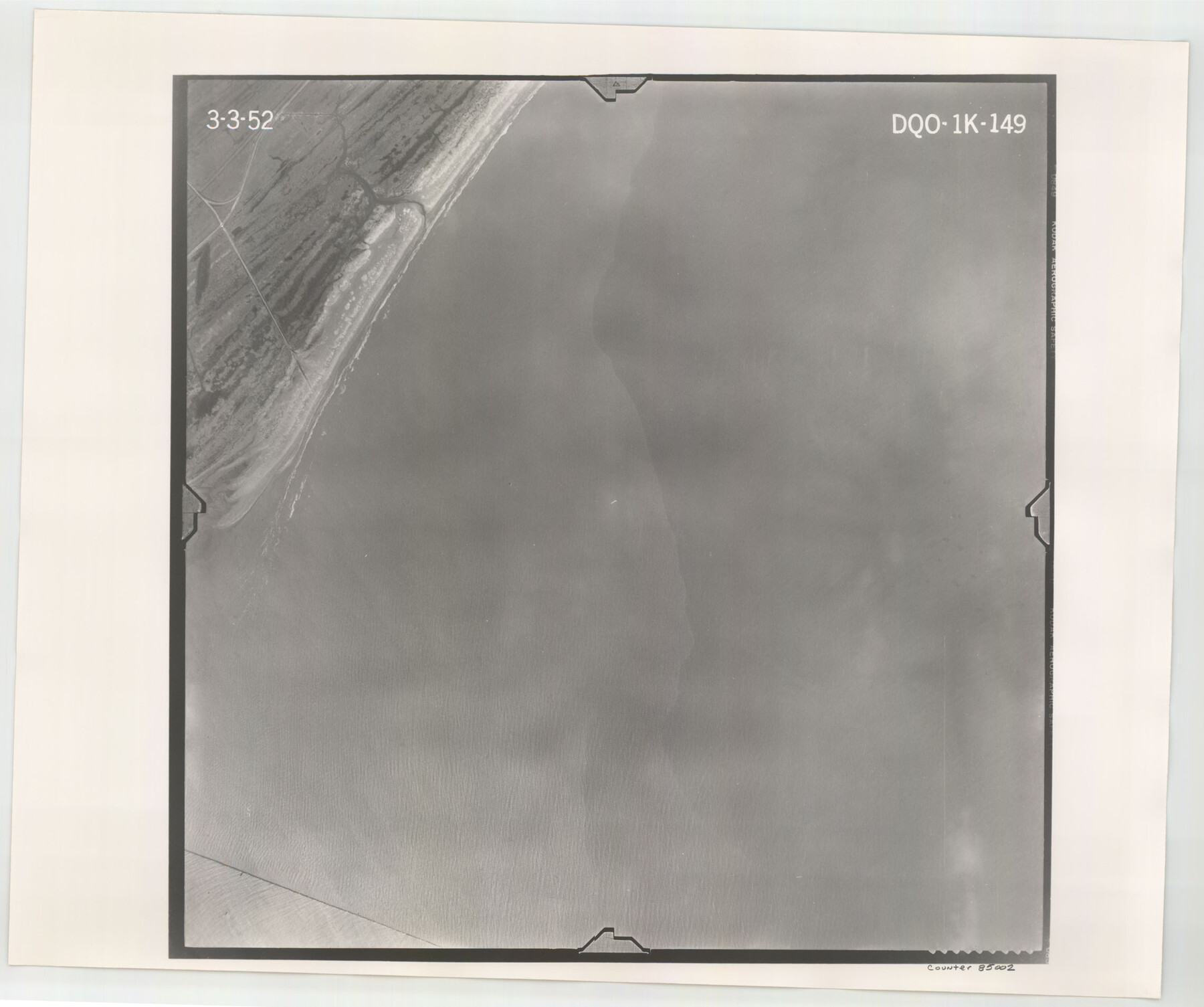
Flight Mission No. DQO-1K, Frame 149, Galveston County
DQO-1K-149
-
Map/Doc
85002
-
Collection
General Map Collection
-
Object Dates
1952/3/3 (Creation Date)
-
People and Organizations
U. S. Department of Agriculture (Publisher)
-
Counties
Galveston
-
Subjects
Aerial Photograph
-
Height x Width
19.0 x 22.8 inches
48.3 x 57.9 cm
-
Comments
Flown by Aero Exploration Company of Tulsa, Oklahoma.
Part of: General Map Collection
Zavala County Working Sketch Graphic Index

Print $20.00
- Digital $50.00
Zavala County Working Sketch Graphic Index
1977
Size 42.2 x 48.2 inches
Map/Doc 76751
Austin County Sketch File 10

Print $40.00
- Digital $50.00
Austin County Sketch File 10
1895
Size 25.5 x 21.0 inches
Map/Doc 10875
Flight Mission No. CRC-4R, Frame 95, Chambers County

Print $20.00
- Digital $50.00
Flight Mission No. CRC-4R, Frame 95, Chambers County
1956
Size 18.6 x 22.3 inches
Map/Doc 84892
[Sketch for Mineral Application 16700 - Pecos River Bed]
![2807, [Sketch for Mineral Application 16700 - Pecos River Bed], General Map Collection](https://historictexasmaps.com/wmedia_w700/maps/2807.tif.jpg)
Print $20.00
- Digital $50.00
[Sketch for Mineral Application 16700 - Pecos River Bed]
1927
Size 32.9 x 15.3 inches
Map/Doc 2807
Texas, Matagorda Bay, Matagorda Peninsula, Cany Creek to Tiger Island Channel

Print $40.00
- Digital $50.00
Texas, Matagorda Bay, Matagorda Peninsula, Cany Creek to Tiger Island Channel
1933
Size 31.4 x 48.6 inches
Map/Doc 69991
Parker County Rolled Sketch 2

Print $20.00
- Digital $50.00
Parker County Rolled Sketch 2
Size 32.4 x 19.6 inches
Map/Doc 7203
Nueces County NRC Article 33.136 Location Key Sheet

Print $20.00
- Digital $50.00
Nueces County NRC Article 33.136 Location Key Sheet
1975
Size 27.0 x 23.0 inches
Map/Doc 88588
Pecos County Rolled Sketch 54

Print $11.00
- Digital $50.00
Pecos County Rolled Sketch 54
1916
Size 9.7 x 15.0 inches
Map/Doc 48099
No. 3 Chart of Channel connecting Corpus Christi Bay with Aransas Bay, Texas

Print $20.00
- Digital $50.00
No. 3 Chart of Channel connecting Corpus Christi Bay with Aransas Bay, Texas
1878
Size 18.4 x 28.0 inches
Map/Doc 72775
Runnels County Working Sketch 5

Print $20.00
- Digital $50.00
Runnels County Working Sketch 5
1907
Size 17.2 x 16.1 inches
Map/Doc 63601
Val Verde County Rolled Sketch 72

Print $20.00
- Digital $50.00
Val Verde County Rolled Sketch 72
Size 15.2 x 28.5 inches
Map/Doc 8134
Red River County Red River District

Print $20.00
- Digital $50.00
Red River County Red River District
1879
Size 24.9 x 21.8 inches
Map/Doc 3976
You may also like
Flight Mission No. DCL-5C, Frame 74, Kenedy County

Print $20.00
- Digital $50.00
Flight Mission No. DCL-5C, Frame 74, Kenedy County
1943
Size 18.6 x 22.3 inches
Map/Doc 85857
San Benito, Texas on the Frisco in the Lower Rio Grande Valley

San Benito, Texas on the Frisco in the Lower Rio Grande Valley
1911
Map/Doc 96727
[Surrounding McCrummens Second Addition]
![92839, [Surrounding McCrummens Second Addition], Twichell Survey Records](https://historictexasmaps.com/wmedia_w700/maps/92839-1.tif.jpg)
Print $20.00
- Digital $50.00
[Surrounding McCrummens Second Addition]
Size 31.2 x 33.1 inches
Map/Doc 92839
Right-of-Way and Track Map, Texas State Railroad operated by the T. and N. O. R.R. Co.

Print $40.00
- Digital $50.00
Right-of-Way and Track Map, Texas State Railroad operated by the T. and N. O. R.R. Co.
1917
Size 24.5 x 55.9 inches
Map/Doc 64177
San Augustine County Sketch File 6

Print $4.00
San Augustine County Sketch File 6
1858
Size 6.4 x 7.7 inches
Map/Doc 35644
Lavaca County Working Sketch 16

Print $20.00
- Digital $50.00
Lavaca County Working Sketch 16
1977
Size 25.0 x 24.9 inches
Map/Doc 70369
Current Miscellaneous File 6

Print $4.00
- Digital $50.00
Current Miscellaneous File 6
Size 11.3 x 8.8 inches
Map/Doc 73731
Kimble County Sketch File 40

Print $14.00
- Digital $50.00
Kimble County Sketch File 40
1888
Size 10.8 x 8.6 inches
Map/Doc 29003
[Portions of Blocks T1, B, and T]
![90950, [Portions of Blocks T1, B, and T], Twichell Survey Records](https://historictexasmaps.com/wmedia_w700/maps/90950-1.tif.jpg)
Print $2.00
- Digital $50.00
[Portions of Blocks T1, B, and T]
1910
Size 13.8 x 4.3 inches
Map/Doc 90950
Wharton County Sketch File 21

Print $40.00
- Digital $50.00
Wharton County Sketch File 21
1911
Size 14.8 x 13.0 inches
Map/Doc 39986
Flight Mission No. BQY-15M, Frame 11, Harris County

Print $20.00
- Digital $50.00
Flight Mission No. BQY-15M, Frame 11, Harris County
1953
Size 18.5 x 22.4 inches
Map/Doc 85309
Webb County Working Sketch 5

Print $20.00
- Digital $50.00
Webb County Working Sketch 5
1909
Size 20.1 x 15.4 inches
Map/Doc 72370