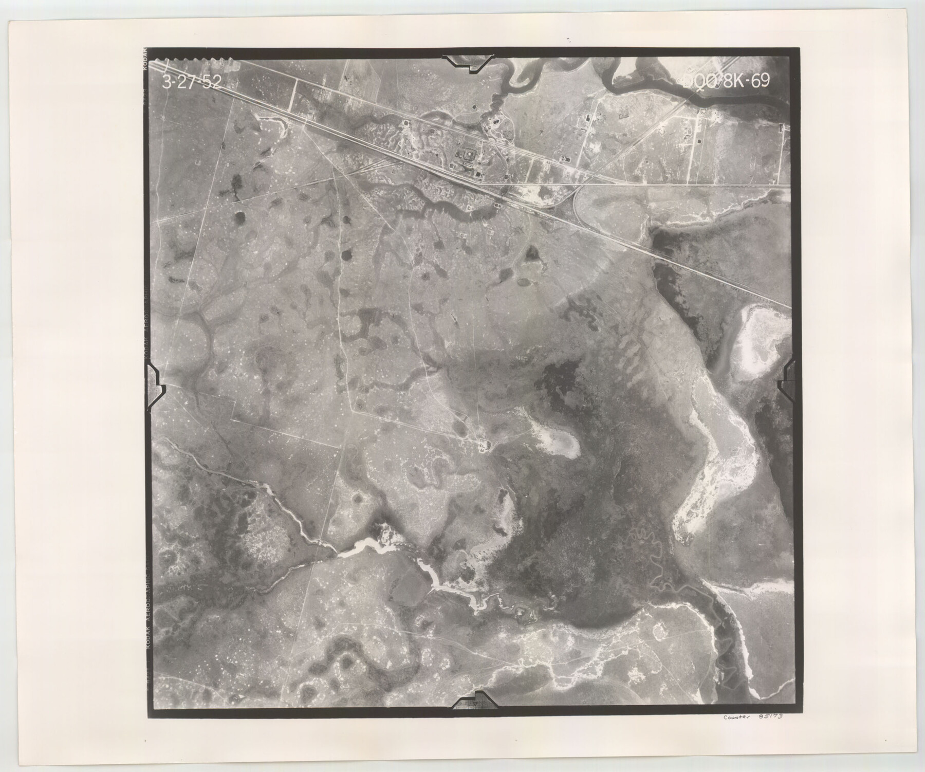
Flight Mission No. DQO-8K, Frame 69, Galveston County
DQO-8K-69
-
Map/Doc
85173
-
Collection
General Map Collection
-
Object Dates
1952/3/27 (Creation Date)
-
People and Organizations
U. S. Department of Agriculture (Publisher)
-
Counties
Galveston
-
Subjects
Aerial Photograph
-
Height x Width
18.8 x 22.5 inches
47.8 x 57.2 cm
-
Comments
Flown by Aero Exploration Company of Tulsa, Oklahoma.
Part of: General Map Collection
Right of Way & Track Map San Antonio & Aransas Pass Railway Co.

Print $40.00
- Digital $50.00
Right of Way & Track Map San Antonio & Aransas Pass Railway Co.
1919
Size 24.8 x 55.8 inches
Map/Doc 64038
Flight Mission No. CUG-3P, Frame 131, Kleberg County

Print $20.00
- Digital $50.00
Flight Mission No. CUG-3P, Frame 131, Kleberg County
1956
Size 18.7 x 22.4 inches
Map/Doc 86266
Glasscock County Sketch File 2

Print $20.00
- Digital $50.00
Glasscock County Sketch File 2
1931
Size 35.1 x 16.2 inches
Map/Doc 11559
Denton County Working Sketch 25

Print $20.00
- Digital $50.00
Denton County Working Sketch 25
1990
Size 13.7 x 18.0 inches
Map/Doc 68630
Jim Hogg County Rolled Sketch EJ

Print $40.00
- Digital $50.00
Jim Hogg County Rolled Sketch EJ
1933
Size 50.7 x 37.0 inches
Map/Doc 9321
Houston County Sketch File 6

Print $4.00
- Digital $50.00
Houston County Sketch File 6
1857
Size 12.0 x 4.7 inches
Map/Doc 26760
Flight Mission No. DAG-22K, Frame 88, Matagorda County

Print $20.00
- Digital $50.00
Flight Mission No. DAG-22K, Frame 88, Matagorda County
1953
Size 18.6 x 22.4 inches
Map/Doc 86472
[Edwards County]
![4939, [Edwards County], General Map Collection](https://historictexasmaps.com/wmedia_w700/maps/4939-1.tif.jpg)
Print $40.00
- Digital $50.00
[Edwards County]
1900
Size 48.6 x 32.4 inches
Map/Doc 4939
Brazoria County Rolled Sketch 31

Print $20.00
- Digital $50.00
Brazoria County Rolled Sketch 31
Size 25.6 x 45.9 inches
Map/Doc 5169
Trinity County Sketch File 13

Print $6.00
- Digital $50.00
Trinity County Sketch File 13
1857
Size 5.0 x 6.3 inches
Map/Doc 38537
Upton County Sketch File 45A

Print $8.00
- Digital $50.00
Upton County Sketch File 45A
2001
Size 11.3 x 8.8 inches
Map/Doc 38945

You may also like
Hamilton County Working Sketch 21

Print $40.00
- Digital $50.00
Hamilton County Working Sketch 21
1955
Size 52.4 x 43.7 inches
Map/Doc 63359
Flight Mission No. CUG-1P, Frame 80, Kleberg County

Print $20.00
- Digital $50.00
Flight Mission No. CUG-1P, Frame 80, Kleberg County
1956
Size 18.8 x 22.4 inches
Map/Doc 86145
San Saba County Sketch File 16

Print $20.00
- Digital $50.00
San Saba County Sketch File 16
1902
Size 16.9 x 18.8 inches
Map/Doc 12294
Hunt County Rolled Sketch 5

Print $20.00
- Digital $50.00
Hunt County Rolled Sketch 5
1956
Size 22.9 x 23.0 inches
Map/Doc 6272
Blanco County Rolled Sketch 8

Print $20.00
- Digital $50.00
Blanco County Rolled Sketch 8
Size 19.1 x 27.7 inches
Map/Doc 5145
General Highway Map, San Saba County, Texas

Print $20.00
General Highway Map, San Saba County, Texas
1940
Size 18.3 x 24.8 inches
Map/Doc 79238
Culberson County Working Sketch 21

Print $40.00
- Digital $50.00
Culberson County Working Sketch 21
1936
Size 36.7 x 57.8 inches
Map/Doc 68473
Bexar County Working Sketch 11

Print $20.00
- Digital $50.00
Bexar County Working Sketch 11
1964
Size 38.6 x 36.9 inches
Map/Doc 67327
Angelina County Sketch File 16

Print $11.00
- Digital $50.00
Angelina County Sketch File 16
Size 7.9 x 3.8 inches
Map/Doc 13004
Montgomery County Rolled Sketch 50

Print $20.00
- Digital $50.00
Montgomery County Rolled Sketch 50
2016
Size 24.1 x 35.7 inches
Map/Doc 95685

[Blocks 242, 243, and 244]
![90999, [Blocks 242, 243, and 244], Twichell Survey Records](https://historictexasmaps.com/wmedia_w700/maps/90999-1.tif.jpg)
Print $2.00
- Digital $50.00
[Blocks 242, 243, and 244]
Size 9.2 x 14.8 inches
Map/Doc 90999