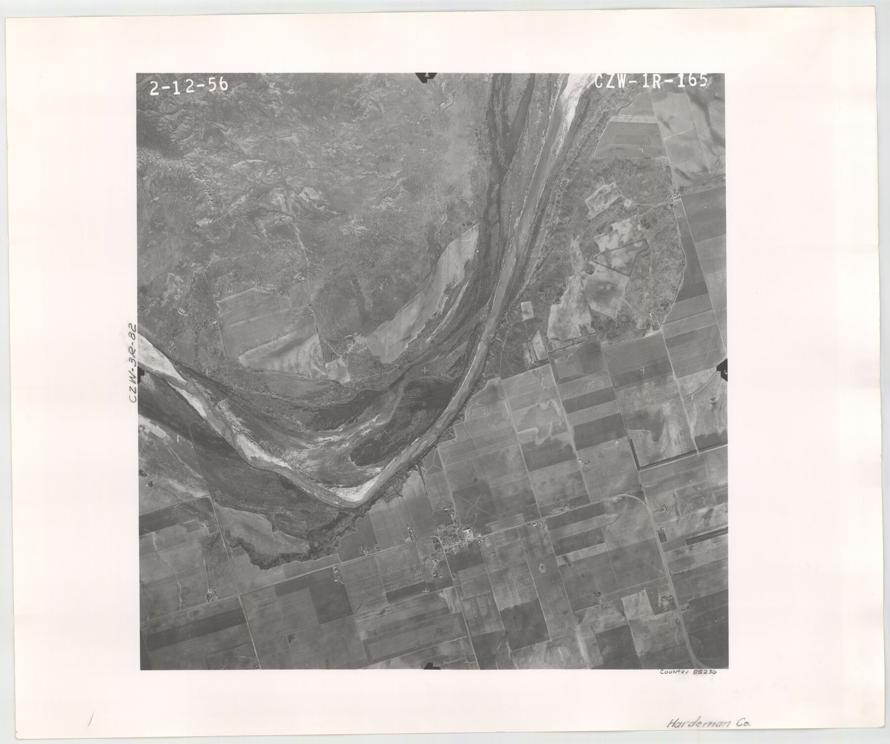
Flight Mission No. CZW-1R, Frame 165, Hardeman County
CZW-1R-165
-
Map/Doc
85236
-
Collection
General Map Collection
-
Object Dates
1956/2/12 (Creation Date)
-
People and Organizations
U. S. Department of Agriculture (Publisher)
-
Counties
Hardeman
-
Subjects
Aerial Photograph
-
Height x Width
18.7 x 22.4 inches
47.5 x 56.9 cm
Part of: General Map Collection
Flight Mission No. DQN-2K, Frame 145, Calhoun County

Print $20.00
- Digital $50.00
Flight Mission No. DQN-2K, Frame 145, Calhoun County
1953
Size 18.9 x 22.7 inches
Map/Doc 84314
Zavala County Sketch File 5

Print $4.00
- Digital $50.00
Zavala County Sketch File 5
1876
Size 13.0 x 8.4 inches
Map/Doc 41263
Sketch of Sabine Lake and Pass

Print $20.00
- Digital $50.00
Sketch of Sabine Lake and Pass
1840
Size 24.8 x 18.2 inches
Map/Doc 72725
Map of the Globe showing its continents, islands, mountain ranges, table lands, plains and slopes

Print $20.00
- Digital $50.00
Map of the Globe showing its continents, islands, mountain ranges, table lands, plains and slopes
1885
Size 12.2 x 18.5 inches
Map/Doc 93532
Upper Galveston Bay, Houston Ship Channel, Dollar Pt. to Atkinson I.

Print $40.00
- Digital $50.00
Upper Galveston Bay, Houston Ship Channel, Dollar Pt. to Atkinson I.
1978
Size 49.3 x 36.8 inches
Map/Doc 69898
Matagorda Bay and Approaches

Print $20.00
- Digital $50.00
Matagorda Bay and Approaches
1982
Size 36.2 x 44.9 inches
Map/Doc 73388
Hardin County Working Sketch 5

Print $20.00
- Digital $50.00
Hardin County Working Sketch 5
1921
Size 31.0 x 22.0 inches
Map/Doc 63403
Parker County Sketch File 7

Print $26.00
- Digital $50.00
Parker County Sketch File 7
1859
Size 12.4 x 7.9 inches
Map/Doc 33533
Nueces County Aerial Photograph Index Sheet 1

Print $20.00
- Digital $50.00
Nueces County Aerial Photograph Index Sheet 1
1956
Size 23.4 x 19.6 inches
Map/Doc 83736
Panola County Sketch File 23

Print $20.00
- Digital $50.00
Panola County Sketch File 23
Size 23.1 x 17.5 inches
Map/Doc 12139
Texas City Heights being a subdivision of the east half of the Robert Logan one third league, Galveston County, Texas

Print $20.00
- Digital $50.00
Texas City Heights being a subdivision of the east half of the Robert Logan one third league, Galveston County, Texas
1895
Size 22.4 x 17.3 inches
Map/Doc 95356
Johnson County Working Sketch 34

Print $20.00
- Digital $50.00
Johnson County Working Sketch 34
2008
Size 20.0 x 21.2 inches
Map/Doc 88890
You may also like
Flight Mission No. DCL-6C, Frame 77, Kenedy County

Print $20.00
- Digital $50.00
Flight Mission No. DCL-6C, Frame 77, Kenedy County
1943
Size 18.5 x 22.3 inches
Map/Doc 85919
Runnels County Rolled Sketch 26

Print $40.00
- Digital $50.00
Runnels County Rolled Sketch 26
1928
Size 55.5 x 25.4 inches
Map/Doc 10312
Flight Mission No. BRE-1P, Frame 139, Nueces County

Print $20.00
- Digital $50.00
Flight Mission No. BRE-1P, Frame 139, Nueces County
1956
Size 18.8 x 22.6 inches
Map/Doc 86699
Grayson County Sketch File 25

Print $6.00
- Digital $50.00
Grayson County Sketch File 25
Size 8.4 x 7.1 inches
Map/Doc 24507
Corpus Christi Bay, Texas

Print $40.00
- Digital $50.00
Corpus Christi Bay, Texas
1867
Size 33.0 x 48.7 inches
Map/Doc 73467
Flight Mission No. BQR-20K, Frame 8, Brazoria County

Print $20.00
- Digital $50.00
Flight Mission No. BQR-20K, Frame 8, Brazoria County
1952
Size 18.6 x 22.3 inches
Map/Doc 84110
Flight Mission No. DQN-7K, Frame 15, Calhoun County

Print $20.00
- Digital $50.00
Flight Mission No. DQN-7K, Frame 15, Calhoun County
1953
Size 18.4 x 22.1 inches
Map/Doc 84466
Palo Pinto County Rolled Sketch 5

Print $40.00
- Digital $50.00
Palo Pinto County Rolled Sketch 5
1917
Size 53.8 x 35.8 inches
Map/Doc 76022
Marion County Working Sketch 10

Print $20.00
- Digital $50.00
Marion County Working Sketch 10
1949
Size 30.9 x 30.2 inches
Map/Doc 70785
Upton County Working Sketch 49B

Print $20.00
- Digital $50.00
Upton County Working Sketch 49B
1979
Size 19.0 x 32.0 inches
Map/Doc 69546
Newton County Working Sketch 25

Print $20.00
- Digital $50.00
Newton County Working Sketch 25
1953
Size 25.4 x 23.8 inches
Map/Doc 71271
Calhoun County NRC Article 33.136 Sketch 10

Digital $50.00
Calhoun County NRC Article 33.136 Sketch 10
2023
Map/Doc 97254