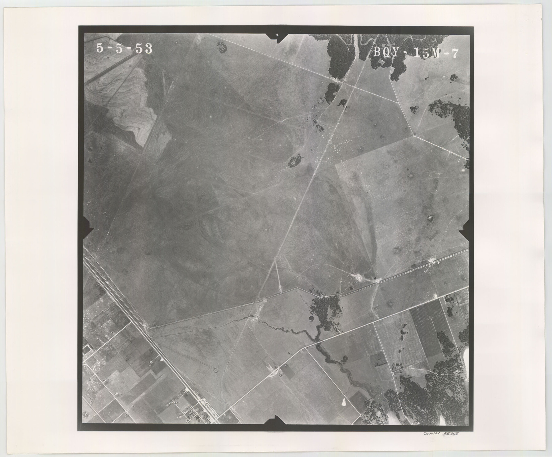
Flight Mission No. BQY-15M, Frame 7, Harris County
BQY-15M-7
-
Map/Doc
85305
-
Collection
General Map Collection
-
Object Dates
1953/5/5 (Creation Date)
-
People and Organizations
U. S. Department of Agriculture (Publisher)
-
Counties
Harris
-
Subjects
Aerial Photograph
-
Height x Width
18.5 x 22.4 inches
47.0 x 56.9 cm
-
Comments
Flown by Jack Ammann Photogrammetric Engineers of San Antonio, Texas.
Part of: General Map Collection
Harrison County Rolled Sketch 15

Print $20.00
- Digital $50.00
Harrison County Rolled Sketch 15
2008
Size 20.5 x 21.0 inches
Map/Doc 89045
Matagorda County Rolled Sketch 35

Print $20.00
- Digital $50.00
Matagorda County Rolled Sketch 35
1903
Size 18.6 x 38.0 inches
Map/Doc 6696
Hamilton County Working Sketch 24

Print $20.00
- Digital $50.00
Hamilton County Working Sketch 24
1979
Size 34.7 x 33.6 inches
Map/Doc 63362
Flight Mission No. CRC-4R, Frame 159, Chambers County

Print $20.00
- Digital $50.00
Flight Mission No. CRC-4R, Frame 159, Chambers County
1956
Size 18.6 x 22.2 inches
Map/Doc 84918
Briscoe County Working Sketch 6

Print $20.00
- Digital $50.00
Briscoe County Working Sketch 6
1940
Size 31.0 x 24.5 inches
Map/Doc 67809
Flight Mission No. DQN-3K, Frame 70, Calhoun County

Print $20.00
- Digital $50.00
Flight Mission No. DQN-3K, Frame 70, Calhoun County
1953
Size 18.6 x 22.5 inches
Map/Doc 84361
San Jacinto County Rolled Sketch 14

Print $20.00
- Digital $50.00
San Jacinto County Rolled Sketch 14
1998
Size 26.5 x 37.3 inches
Map/Doc 7568
Amistad International Reservoir on Rio Grande 72

Print $20.00
- Digital $50.00
Amistad International Reservoir on Rio Grande 72
1949
Size 28.4 x 39.6 inches
Map/Doc 73360
Van Zandt County Sketch File 30

Print $4.00
- Digital $50.00
Van Zandt County Sketch File 30
1859
Size 12.2 x 8.0 inches
Map/Doc 39461
Jefferson County Rolled Sketch 53

Print $20.00
- Digital $50.00
Jefferson County Rolled Sketch 53
1969
Size 33.0 x 34.0 inches
Map/Doc 9309
Red River County Working Sketch 9

Print $20.00
- Digital $50.00
Red River County Working Sketch 9
1920
Size 15.2 x 18.9 inches
Map/Doc 71992
Goliad County Sketch File 31

Print $6.00
- Digital $50.00
Goliad County Sketch File 31
1897
Size 10.7 x 8.2 inches
Map/Doc 24329
You may also like
[R. M. Thompson, Block A and Part of Jones County School Land]
![91222, [R. M. Thompson, Block A and Part of Jones County School Land], Twichell Survey Records](https://historictexasmaps.com/wmedia_w700/maps/91222-1.tif.jpg)
Print $20.00
- Digital $50.00
[R. M. Thompson, Block A and Part of Jones County School Land]
Size 10.4 x 20.9 inches
Map/Doc 91222
Texas State Boundary Line 6

Print $10.00
- Digital $50.00
Texas State Boundary Line 6
2000
Size 11.3 x 8.8 inches
Map/Doc 75046
Chambers County Rolled Sketch 30

Print $20.00
- Digital $50.00
Chambers County Rolled Sketch 30
1952
Size 26.7 x 37.9 inches
Map/Doc 5430
Sabine River, Kane Bridge Sheet

Print $4.00
- Digital $50.00
Sabine River, Kane Bridge Sheet
Size 20.9 x 24.2 inches
Map/Doc 65135
Zavala County Working Sketch 8

Print $20.00
- Digital $50.00
Zavala County Working Sketch 8
1949
Size 24.2 x 17.6 inches
Map/Doc 62083
Nueces Bay and Adjoining Areas showing submerged Lands

Print $40.00
- Digital $50.00
Nueces Bay and Adjoining Areas showing submerged Lands
1946
Size 34.6 x 56.4 inches
Map/Doc 1916
San Patricio County Rolled Sketch 7B

Print $20.00
- Digital $50.00
San Patricio County Rolled Sketch 7B
1870
Size 42.3 x 29.1 inches
Map/Doc 7573
Liberty County Sketch File 52

Print $20.00
- Digital $50.00
Liberty County Sketch File 52
Size 17.5 x 13.5 inches
Map/Doc 11995
Goliad County

Print $20.00
- Digital $50.00
Goliad County
1946
Size 44.0 x 46.1 inches
Map/Doc 95509
Childress County Sketch File 17a

Print $96.00
- Digital $50.00
Childress County Sketch File 17a
Size 12.4 x 8.6 inches
Map/Doc 18316
Garza County Rolled Sketch 5A

Print $40.00
- Digital $50.00
Garza County Rolled Sketch 5A
Size 36.4 x 53.8 inches
Map/Doc 3830
A Geographically Correct County Map of States Traversed by the St. Louis, Iron Mountain and Southern Railway and its connections

Print $20.00
- Digital $50.00
A Geographically Correct County Map of States Traversed by the St. Louis, Iron Mountain and Southern Railway and its connections
1878
Size 16.9 x 27.0 inches
Map/Doc 95785