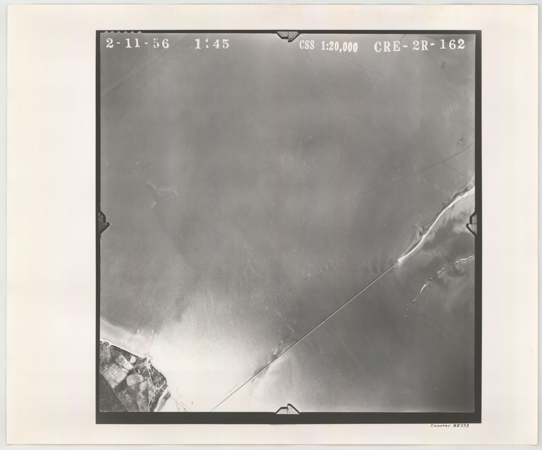
Flight Mission No. CRE-2R, Frame 162, Jackson County
CRE-2R-162
-
Map/Doc
85373
-
Collection
General Map Collection
-
Object Dates
1956/2/11 (Creation Date)
-
People and Organizations
U. S. Department of Agriculture (Publisher)
-
Counties
Jackson
-
Subjects
Aerial Photograph
-
Height x Width
18.5 x 22.3 inches
47.0 x 56.6 cm
-
Comments
Flown by Jack Ammann Photogrammetric Engineers of San Antonio, Texas.
Part of: General Map Collection
Crockett County Sketch File 23

Print $2.00
- Digital $50.00
Crockett County Sketch File 23
Size 8.6 x 8.5 inches
Map/Doc 19697
Bell County Sketch File 20a

Print $4.00
- Digital $50.00
Bell County Sketch File 20a
1855
Size 6.7 x 8.3 inches
Map/Doc 14408
Val Verde County Working Sketch Graphic Index, Sheet 3 (Sketches 89 to Most Recent)

Print $20.00
- Digital $50.00
Val Verde County Working Sketch Graphic Index, Sheet 3 (Sketches 89 to Most Recent)
1944
Size 40.3 x 36.6 inches
Map/Doc 76726
Rains County Rolled Sketch 2

Print $41.00
- Digital $50.00
Rains County Rolled Sketch 2
1958
Size 10.4 x 15.4 inches
Map/Doc 48829
No. 1 - Survey for a road from the Brazo Santiago to the Rio Grande

Print $20.00
- Digital $50.00
No. 1 - Survey for a road from the Brazo Santiago to the Rio Grande
1847
Size 18.3 x 27.0 inches
Map/Doc 72873
San Patricio County Sketch File 18

Print $4.00
San Patricio County Sketch File 18
Size 6.2 x 8.3 inches
Map/Doc 36066
Deaf Smith Co.

Print $40.00
- Digital $50.00
Deaf Smith Co.
1898
Size 37.2 x 48.8 inches
Map/Doc 4930
Liberty County Sketch File 14

Print $4.00
- Digital $50.00
Liberty County Sketch File 14
1858
Size 12.9 x 8.1 inches
Map/Doc 29915
Topographical Map of the Rio Grande, Sheet No. 16

Print $20.00
- Digital $50.00
Topographical Map of the Rio Grande, Sheet No. 16
1912
Map/Doc 89540
Pecos County Sketch File 75

Print $6.00
- Digital $50.00
Pecos County Sketch File 75
1943
Size 11.3 x 8.9 inches
Map/Doc 33904


You may also like
Franklin County Boundary File 1

Print $8.00
- Digital $50.00
Franklin County Boundary File 1
Size 12.9 x 8.1 inches
Map/Doc 53569
Flight Mission No. DQN-1K, Frame 46, Calhoun County

Print $20.00
- Digital $50.00
Flight Mission No. DQN-1K, Frame 46, Calhoun County
1953
Size 18.7 x 22.4 inches
Map/Doc 84146
General Highway Map, Collin County, Texas

Print $20.00
General Highway Map, Collin County, Texas
1961
Size 18.2 x 24.6 inches
Map/Doc 79413
Chambers County NRC Article 33.136 Sketch 9

Print $24.00
- Digital $50.00
Chambers County NRC Article 33.136 Sketch 9
2014
Size 17.7 x 24.0 inches
Map/Doc 94747
Flight Mission No. DQO-1K, Frame 117, Galveston County

Print $20.00
- Digital $50.00
Flight Mission No. DQO-1K, Frame 117, Galveston County
1952
Size 18.9 x 22.5 inches
Map/Doc 84995
Marion County Sketch File 13

Print $24.00
- Digital $50.00
Marion County Sketch File 13
1912
Size 11.3 x 8.7 inches
Map/Doc 30583
Duval County Sketch File 61

Print $6.00
- Digital $50.00
Duval County Sketch File 61
1940
Size 11.4 x 8.9 inches
Map/Doc 21431
Cogdell Ranch Kent County, Texas

Print $20.00
- Digital $50.00
Cogdell Ranch Kent County, Texas
1950
Size 36.3 x 19.2 inches
Map/Doc 92188
Crane County Sketch File 26

Print $10.00
- Digital $50.00
Crane County Sketch File 26
1939
Size 11.5 x 9.0 inches
Map/Doc 19598
Dallas County Working Sketch 16

Print $20.00
- Digital $50.00
Dallas County Working Sketch 16
1981
Size 15.7 x 12.0 inches
Map/Doc 68582

Val Verde County

Print $20.00
- Digital $50.00
Val Verde County
1944
Size 40.0 x 36.2 inches
Map/Doc 77445