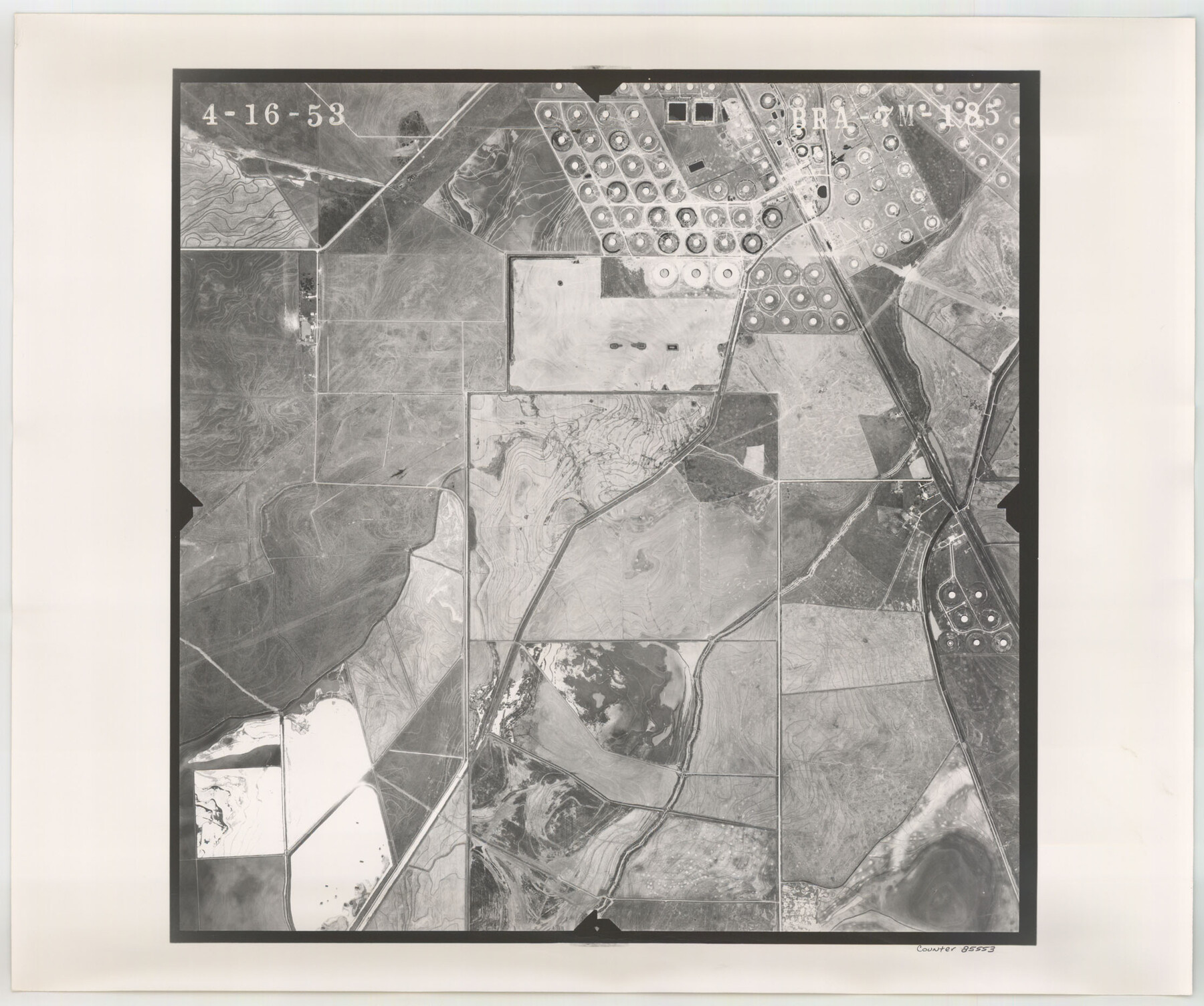
Flight Mission No. BRA-7M, Frame 185, Jefferson County
BRA-7M-185
-
Map/Doc
85553
-
Collection
General Map Collection
-
Object Dates
1953/4/16 (Creation Date)
-
People and Organizations
U. S. Department of Agriculture (Publisher)
-
Counties
Jefferson
-
Subjects
Aerial Photograph
-
Height x Width
18.6 x 22.3 inches
47.2 x 56.6 cm
-
Comments
Flown by Jack Ammann Photogrammetric Engineers of San Antonio, Texas.
Part of: General Map Collection
Sutton County Sketch File 8

Print $20.00
- Digital $50.00
Sutton County Sketch File 8
1891
Size 24.9 x 31.6 inches
Map/Doc 12379
Flight Mission No. DAG-23K, Frame 60, Matagorda County

Print $20.00
- Digital $50.00
Flight Mission No. DAG-23K, Frame 60, Matagorda County
1953
Size 15.8 x 15.8 inches
Map/Doc 86487
Reeves County Rolled Sketch 14A

Print $20.00
- Digital $50.00
Reeves County Rolled Sketch 14A
1948
Size 26.0 x 18.9 inches
Map/Doc 7483
Presidio County Rolled Sketch 4

Print $2.00
- Digital $50.00
Presidio County Rolled Sketch 4
Size 10.1 x 6.3 inches
Map/Doc 75984
Howard County Working Sketch 6

Print $20.00
- Digital $50.00
Howard County Working Sketch 6
1946
Size 17.3 x 19.5 inches
Map/Doc 66272
Harris County Rolled Sketch J

Print $40.00
- Digital $50.00
Harris County Rolled Sketch J
1933
Size 53.6 x 41.6 inches
Map/Doc 9122
Limestone County Sketch File 8

Print $20.00
- Digital $50.00
Limestone County Sketch File 8
1869
Size 15.6 x 23.7 inches
Map/Doc 12002
Jefferson County Sketch File 23

Print $20.00
- Digital $50.00
Jefferson County Sketch File 23
Size 15.8 x 17.8 inches
Map/Doc 11871
Upton County Rolled Sketch 37

Print $20.00
- Digital $50.00
Upton County Rolled Sketch 37
Size 41.8 x 39.6 inches
Map/Doc 10053
Harris County Rolled Sketch 85

Print $20.00
- Digital $50.00
Harris County Rolled Sketch 85
1968
Size 22.0 x 32.0 inches
Map/Doc 6119
McLennan County Boundary File 4a

Print $8.00
- Digital $50.00
McLennan County Boundary File 4a
Size 14.1 x 8.6 inches
Map/Doc 56979
Culberson County Working Sketch 50

Print $20.00
- Digital $50.00
Culberson County Working Sketch 50
1972
Size 32.0 x 35.1 inches
Map/Doc 68504
You may also like
Harris County Working Sketch 120

Print $20.00
- Digital $50.00
Harris County Working Sketch 120
1985
Size 29.3 x 14.6 inches
Map/Doc 66012
Political Chief of Nacogdoches Correspondence with Various People (PCCVP)

Political Chief of Nacogdoches Correspondence with Various People (PCCVP)
Size 12.5 x 9.0 inches
Map/Doc 94264

Coryell County Sketch File 5

Print $40.00
- Digital $50.00
Coryell County Sketch File 5
1858
Size 16.0 x 12.7 inches
Map/Doc 19345
Runnels County Sketch File 6

Print $5.00
Runnels County Sketch File 6
1872
Size 9.9 x 15.9 inches
Map/Doc 35440
Flight Mission No. CRC-4R, Frame 178, Chambers County

Print $20.00
- Digital $50.00
Flight Mission No. CRC-4R, Frame 178, Chambers County
1956
Size 18.5 x 22.2 inches
Map/Doc 84929
Map of Coryell County

Print $20.00
- Digital $50.00
Map of Coryell County
1855
Size 22.5 x 23.0 inches
Map/Doc 3447
Zavala County Working Sketch 15

Print $20.00
- Digital $50.00
Zavala County Working Sketch 15
1977
Size 27.8 x 23.9 inches
Map/Doc 62090

Oldham County Sketch File 20

Print $6.00
- Digital $50.00
Oldham County Sketch File 20
1916
Size 11.1 x 8.5 inches
Map/Doc 33275
[County Line, Roberts and Hutchinson County]
![91184, [County Line, Roberts and Hutchinson County], Twichell Survey Records](https://historictexasmaps.com/wmedia_w700/maps/91184-1.tif.jpg)
Print $20.00
- Digital $50.00
[County Line, Roberts and Hutchinson County]
1907
Size 33.7 x 7.7 inches
Map/Doc 91184
Brazoria County Working Sketch 40

Print $3.00
- Digital $50.00
Brazoria County Working Sketch 40
1982
Size 11.0 x 10.8 inches
Map/Doc 67525