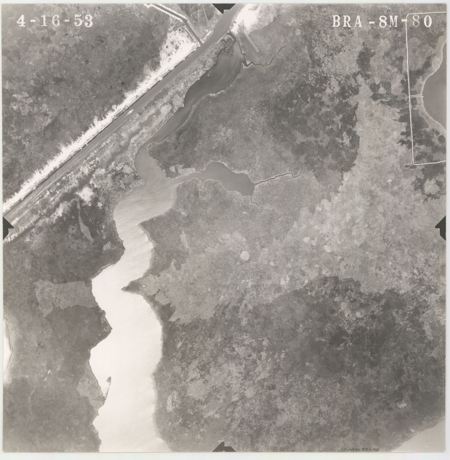
Flight Mission No. BRA-8M, Frame 80, Jefferson County
[Aerial Photo, Jefferson County, frame BRA-8M-80]
-
Map/Doc
85600
-
Collection
General Map Collection
-
Object Dates
1953/4/16 (Creation Date)
-
People and Organizations
U. S. Department of Agriculture (Publisher)
-
Counties
Jefferson
-
Subjects
Aerial Photograph
-
Height x Width
15.9 x 15.6 inches
40.4 x 39.6 cm
-
Comments
Flown by Jack Ammann Photogrammetric Engineers of San Antonio, Texas.
Part of: General Map Collection
Val Verde County Rolled Sketch JR

Print $20.00
- Digital $50.00
Val Verde County Rolled Sketch JR
1938
Size 35.9 x 31.1 inches
Map/Doc 10080
Duval County Rolled Sketch 50

Print $20.00
- Digital $50.00
Duval County Rolled Sketch 50
1876
Size 14.2 x 11.8 inches
Map/Doc 5764
Upshur County Sketch File 15

Print $20.00
- Digital $50.00
Upshur County Sketch File 15
1934
Size 20.7 x 31.2 inches
Map/Doc 12505
Menard County Sketch File 17

Print $20.00
- Digital $50.00
Menard County Sketch File 17
1914
Size 35.4 x 20.1 inches
Map/Doc 12075
Fannin County Sketch File 26

Print $4.00
- Digital $50.00
Fannin County Sketch File 26
1873
Size 8.5 x 10.3 inches
Map/Doc 22495
Map of Leon County

Print $40.00
- Digital $50.00
Map of Leon County
1916
Size 49.3 x 42.5 inches
Map/Doc 66901
Kimble County Rolled Sketch 15

Print $59.00
- Digital $50.00
Kimble County Rolled Sketch 15
1886
Size 28.3 x 42.1 inches
Map/Doc 6508

Map of the chief part of the Western States and part of Virginia engraved to illustrate Mitchell's school and family geography

Print $20.00
- Digital $50.00
Map of the chief part of the Western States and part of Virginia engraved to illustrate Mitchell's school and family geography
1839
Size 11.8 x 17.8 inches
Map/Doc 93499
Gillespie County Sketch File 4a

Print $40.00
- Digital $50.00
Gillespie County Sketch File 4a
Size 15.8 x 12.8 inches
Map/Doc 24137
Flight Mission No. BQR-22K, Frame 36, Brazoria County

Print $20.00
- Digital $50.00
Flight Mission No. BQR-22K, Frame 36, Brazoria County
1953
Size 18.6 x 22.4 inches
Map/Doc 84120
Map of Hopkins County

Print $20.00
- Digital $50.00
Map of Hopkins County
1863
Size 22.6 x 24.1 inches
Map/Doc 3679
You may also like
Val Verde County Sketch File 24

Print $20.00
- Digital $50.00
Val Verde County Sketch File 24
Size 22.5 x 34.3 inches
Map/Doc 76759
Shelby County Working Sketch 24

Print $20.00
- Digital $50.00
Shelby County Working Sketch 24
1985
Size 38.3 x 39.0 inches
Map/Doc 63878
Runnels County Sketch File 13

Print $2.00
Runnels County Sketch File 13
Size 8.0 x 6.2 inches
Map/Doc 35456
Matagorda County Aerial Photograph Index Sheet 4

Print $20.00
- Digital $50.00
Matagorda County Aerial Photograph Index Sheet 4
1953
Size 23.6 x 19.5 inches
Map/Doc 83725
Soash-White Industrial Properties

Print $20.00
- Digital $50.00
Soash-White Industrial Properties
Size 37.4 x 24.9 inches
Map/Doc 92776
Rains County Sketch File 7

Print $4.00
- Digital $50.00
Rains County Sketch File 7
Size 6.2 x 7.9 inches
Map/Doc 34956
Brewster County Working Sketch 100

Print $40.00
- Digital $50.00
Brewster County Working Sketch 100
1979
Size 41.0 x 55.2 inches
Map/Doc 67700
Galveston County Sketch File 74

Print $12.00
- Digital $50.00
Galveston County Sketch File 74
2002
Size 11.3 x 8.7 inches
Map/Doc 77526
Collin County Boundary File 18f

Print $22.00
- Digital $50.00
Collin County Boundary File 18f
Size 12.9 x 8.2 inches
Map/Doc 51757
[Blocks in East Floyd County and West Motley County showing Blocks D2, D3, GM, GP and T]
![92113, [Blocks in East Floyd County and West Motley County showing Blocks D2, D3, GM, GP and T], Twichell Survey Records](https://historictexasmaps.com/wmedia_w700/maps/92113-1.tif.jpg)
Print $20.00
- Digital $50.00
[Blocks in East Floyd County and West Motley County showing Blocks D2, D3, GM, GP and T]
Size 22.2 x 10.9 inches
Map/Doc 92113
Hall County Sketch File 32

Print $14.00
- Digital $50.00
Hall County Sketch File 32
1911
Size 11.2 x 8.8 inches
Map/Doc 24839
Culberson County Working Sketch 42

Print $40.00
- Digital $50.00
Culberson County Working Sketch 42
1970
Size 49.1 x 44.0 inches
Map/Doc 68496