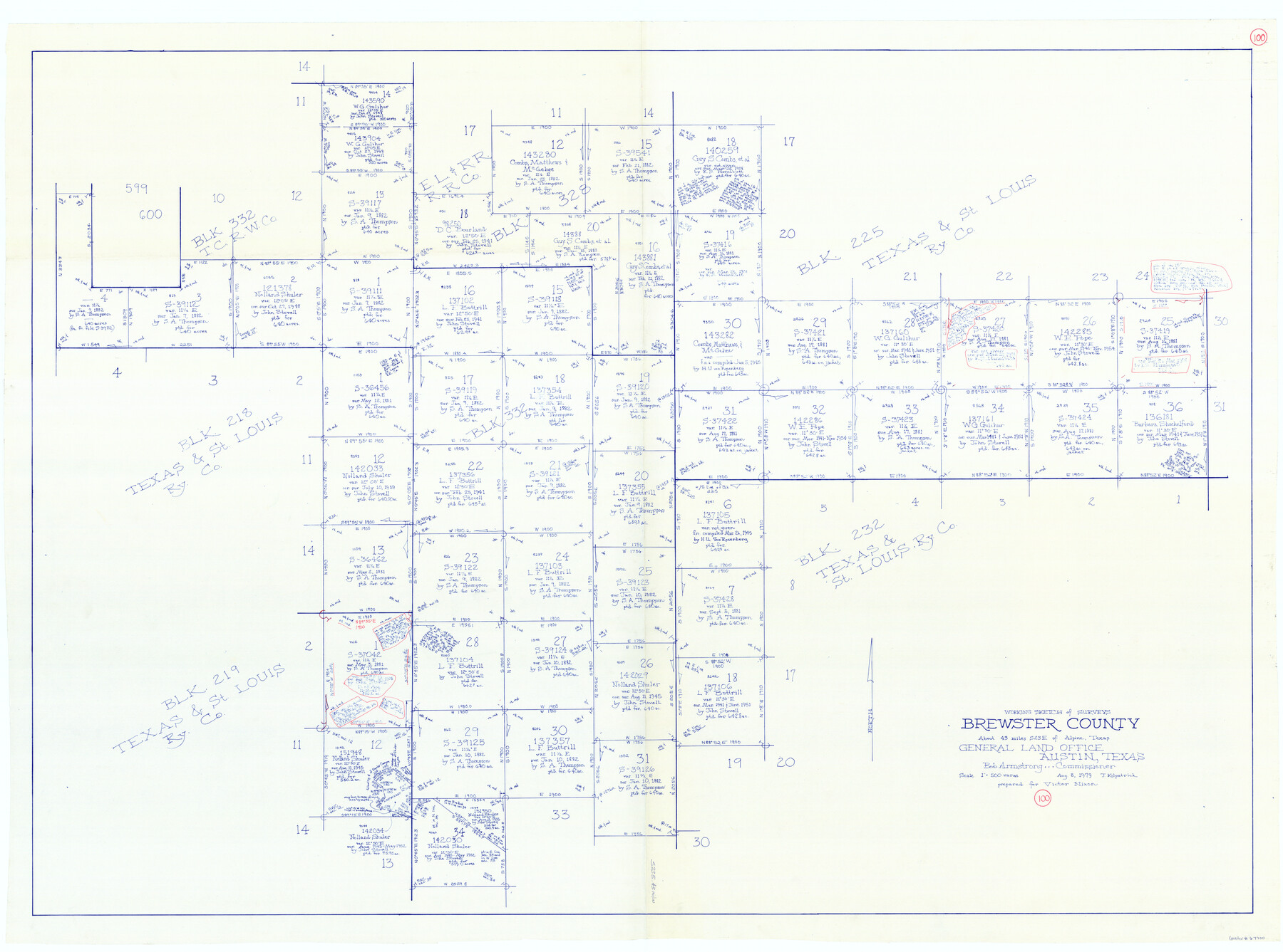
Brewster County Working Sketch 100
-
Map/Doc
67700
-
Collection
General Map Collection
-
Object Dates
8/8/1979 (Creation Date)
-
People and Organizations
Joan Kilpatrick (Draftsman)
-
Counties
Brewster
-
Subjects
Surveying Working Sketch
-
Height x Width
41.0 x 55.2 inches
104.1 x 140.2 cm
-
Scale
1" = 500 varas
Part of: General Map Collection
Gaines County Sketch File 14

Print $20.00
- Digital $50.00
Gaines County Sketch File 14
1954
Size 23.4 x 32.1 inches
Map/Doc 11525
Kerr County Rolled Sketch 11

Print $20.00
- Digital $50.00
Kerr County Rolled Sketch 11
1950
Size 28.1 x 36.9 inches
Map/Doc 6495
Presidio County Rolled Sketch 41

Print $20.00
- Digital $50.00
Presidio County Rolled Sketch 41
1907
Size 20.7 x 25.0 inches
Map/Doc 7338
Flight Mission No. DQN-5K, Frame 50, Calhoun County

Print $20.00
- Digital $50.00
Flight Mission No. DQN-5K, Frame 50, Calhoun County
1953
Size 18.5 x 22.3 inches
Map/Doc 84395
Williamson County Rolled Sketch 11

Print $20.00
- Digital $50.00
Williamson County Rolled Sketch 11
Size 37.5 x 28.4 inches
Map/Doc 8268

Brazos River, Brazos River Sheet 1

Print $20.00
- Digital $50.00
Brazos River, Brazos River Sheet 1
1926
Size 20.7 x 25.3 inches
Map/Doc 69665
Culberson County Rolled Sketch 46

Print $40.00
- Digital $50.00
Culberson County Rolled Sketch 46
1953
Size 53.1 x 43.1 inches
Map/Doc 8754
Hardin County Rolled Sketch 13

Print $20.00
- Digital $50.00
Hardin County Rolled Sketch 13
Size 36.0 x 42.3 inches
Map/Doc 9187
Matagorda County Rolled Sketch 20

Print $20.00
- Digital $50.00
Matagorda County Rolled Sketch 20
1938
Size 25.1 x 30.6 inches
Map/Doc 6688
Cooke County Boundary File 2

Print $19.00
- Digital $50.00
Cooke County Boundary File 2
Size 12.1 x 7.6 inches
Map/Doc 51840
Dickens County

Print $20.00
- Digital $50.00
Dickens County
1891
Size 24.5 x 20.2 inches
Map/Doc 4533
You may also like
Plat of a survey of the North part of section 16, Block 362, Martha McBride, Presidio County, Texas

Print $6.00
- Digital $50.00
Plat of a survey of the North part of section 16, Block 362, Martha McBride, Presidio County, Texas
1989
Size 25.5 x 35.0 inches
Map/Doc 60521
Reeves County Rolled Sketch 39

Print $20.00
- Digital $50.00
Reeves County Rolled Sketch 39
2018
Size 25.0 x 36.5 inches
Map/Doc 96570
Flight Mission No. DCL-6C, Frame 67, Kenedy County

Print $20.00
- Digital $50.00
Flight Mission No. DCL-6C, Frame 67, Kenedy County
1943
Size 18.6 x 22.2 inches
Map/Doc 85909
Sulphur River, Bexelder Sheet/Cuthand Creek

Print $20.00
- Digital $50.00
Sulphur River, Bexelder Sheet/Cuthand Creek
Size 17.3 x 14.1 inches
Map/Doc 78325
Kimble County Rolled Sketch 36

Print $20.00
- Digital $50.00
Kimble County Rolled Sketch 36
Size 27.5 x 22.4 inches
Map/Doc 6526
Map of survey 189, T. C. R.R. Co. in Travis County, Texas

Print $20.00
- Digital $50.00
Map of survey 189, T. C. R.R. Co. in Travis County, Texas
1915
Size 18.5 x 15.2 inches
Map/Doc 663
Presidio County Rolled Sketch D2

Print $20.00
- Digital $50.00
Presidio County Rolled Sketch D2
1908
Size 14.3 x 16.9 inches
Map/Doc 7410
[Township 4 North, Block 33]
![91216, [Township 4 North, Block 33], Twichell Survey Records](https://historictexasmaps.com/wmedia_w700/maps/91216-1.tif.jpg)
Print $3.00
- Digital $50.00
[Township 4 North, Block 33]
Size 11.3 x 12.0 inches
Map/Doc 91216
Reagan County Sketch File 2A

Print $6.00
- Digital $50.00
Reagan County Sketch File 2A
1882
Size 9.1 x 17.6 inches
Map/Doc 12211
Leon County Working Sketch 10

Print $20.00
- Digital $50.00
Leon County Working Sketch 10
1951
Size 21.5 x 17.3 inches
Map/Doc 70409
Flight Mission No. DQN-2K, Frame 73, Calhoun County

Print $20.00
- Digital $50.00
Flight Mission No. DQN-2K, Frame 73, Calhoun County
1953
Size 18.5 x 22.2 inches
Map/Doc 84265
Callahan County Working Sketch 15

Print $20.00
- Digital $50.00
Callahan County Working Sketch 15
2010
Size 22.6 x 27.3 inches
Map/Doc 89295