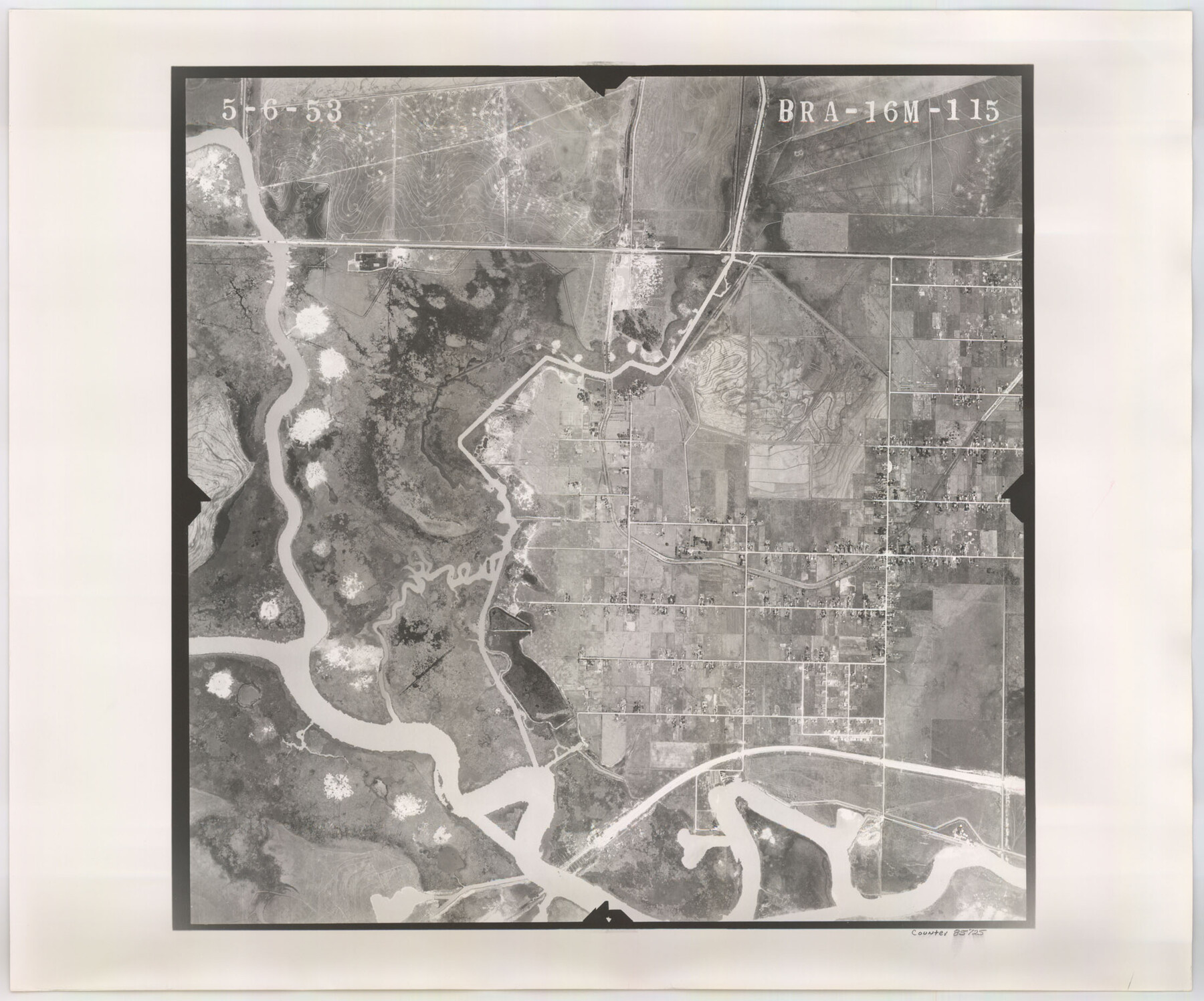
Flight Mission No. BRA-16M, Frame 115, Jefferson County
BRA-16M-115
-
Map/Doc
85725
-
Collection
General Map Collection
-
Object Dates
1953/5/6 (Creation Date)
-
People and Organizations
U. S. Department of Agriculture (Publisher)
-
Counties
Jefferson
-
Subjects
Aerial Photograph
-
Height x Width
18.5 x 22.2 inches
47.0 x 56.4 cm
-
Comments
Flown by Jack Ammann Photogrammetric Engineers of San Antonio, Texas.
Part of: General Map Collection
Leon County Working Sketch 59

Print $20.00
- Digital $50.00
Leon County Working Sketch 59
1998
Size 19.2 x 25.5 inches
Map/Doc 70459
Coke County Sketch File 5

Print $8.00
- Digital $50.00
Coke County Sketch File 5
1886
Size 12.4 x 8.2 inches
Map/Doc 18578
Palo Pinto County Working Sketch 21

Print $20.00
- Digital $50.00
Palo Pinto County Working Sketch 21
1984
Size 37.9 x 39.9 inches
Map/Doc 71404
Terrell County Working Sketch 51

Print $40.00
- Digital $50.00
Terrell County Working Sketch 51
1958
Size 63.7 x 43.6 inches
Map/Doc 62144
Reagan County

Print $40.00
- Digital $50.00
Reagan County
1940
Size 48.4 x 37.5 inches
Map/Doc 73270
Flight Mission No. DQN-1K, Frame 131, Calhoun County

Print $20.00
- Digital $50.00
Flight Mission No. DQN-1K, Frame 131, Calhoun County
1953
Size 18.6 x 22.4 inches
Map/Doc 84194
Dimmit County Working Sketch 24

Print $20.00
- Digital $50.00
Dimmit County Working Sketch 24
1954
Size 28.9 x 24.0 inches
Map/Doc 68685
Donley County Boundary File 3

Print $33.00
- Digital $50.00
Donley County Boundary File 3
Size 13.2 x 8.7 inches
Map/Doc 52623
Maverick County Working Sketch 9

Print $20.00
- Digital $50.00
Maverick County Working Sketch 9
1959
Size 43.8 x 42.2 inches
Map/Doc 70901
Flight Mission No. DQN-1K, Frame 47, Calhoun County

Print $20.00
- Digital $50.00
Flight Mission No. DQN-1K, Frame 47, Calhoun County
1953
Size 18.4 x 22.6 inches
Map/Doc 84147
Culberson County Sketch File EM

Print $7.00
- Digital $50.00
Culberson County Sketch File EM
Size 36.2 x 40.3 inches
Map/Doc 10359
Baylor County Boundary File 4

Print $6.00
- Digital $50.00
Baylor County Boundary File 4
Size 11.2 x 8.6 inches
Map/Doc 50389
You may also like
Minutes of the Ayuntamiento of San Felipe de Austin Vol. 3

Minutes of the Ayuntamiento of San Felipe de Austin Vol. 3
Size 13.1 x 10.3 inches
Map/Doc 94262
Red River County Working Sketch 33

Print $20.00
- Digital $50.00
Red River County Working Sketch 33
1963
Size 47.0 x 22.2 inches
Map/Doc 72016
Ward County Working Sketch 33

Print $20.00
- Digital $50.00
Ward County Working Sketch 33
1968
Size 26.3 x 32.3 inches
Map/Doc 72339
Presidio County Working Sketch 71

Print $20.00
- Digital $50.00
Presidio County Working Sketch 71
1961
Size 17.4 x 14.7 inches
Map/Doc 71748
Freestone County Working Sketch 15

Print $40.00
- Digital $50.00
Freestone County Working Sketch 15
1980
Size 56.5 x 33.7 inches
Map/Doc 69257
Aransas County Sketch File 15a

Print $14.00
- Digital $50.00
Aransas County Sketch File 15a
Size 11.0 x 8.4 inches
Map/Doc 13136
Lampasas County Sketch File B

Print $20.00
- Digital $50.00
Lampasas County Sketch File B
1886
Size 15.0 x 22.4 inches
Map/Doc 11977
Map of [Coleman County]
![3413, Map of [Coleman County], General Map Collection](https://historictexasmaps.com/wmedia_w700/maps/3413-1.tif.jpg)
Print $20.00
- Digital $50.00
Map of [Coleman County]
1878
Size 24.9 x 21.9 inches
Map/Doc 3413
Flight Mission No. DQN-2K, Frame 64, Calhoun County

Print $20.00
- Digital $50.00
Flight Mission No. DQN-2K, Frame 64, Calhoun County
1953
Size 18.6 x 22.3 inches
Map/Doc 84256
Flight Mission No. DAG-16K, Frame 70, Matagorda County

Print $20.00
- Digital $50.00
Flight Mission No. DAG-16K, Frame 70, Matagorda County
1952
Size 17.3 x 17.1 inches
Map/Doc 86316
Brewster County Working Sketch 34

Print $20.00
- Digital $50.00
Brewster County Working Sketch 34
1943
Size 33.7 x 21.2 inches
Map/Doc 67568
Flight Mission No. DQN-7K, Frame 14, Calhoun County

Print $20.00
- Digital $50.00
Flight Mission No. DQN-7K, Frame 14, Calhoun County
1953
Size 17.2 x 19.1 inches
Map/Doc 84465